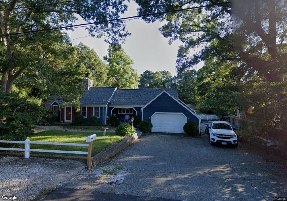
51 George St Hyannis, MA 02601
Hyannis NeighborhoodEstimated Value: $599,000 - $670,000
About This Home
This home is located at 51 George St, Hyannis, MA 02601 and is currently estimated at $631,108, approximately $450 per square foot. 51 George St is a home located in Barnstable County with nearby schools including Hyannis West Elementary School, Barnstable United Elementary School, and Barnstable Intermediate School.
Ownership History
We collect this data history from publicly available records. To have your information removed, we recommend requesting removal directly through your county’s website.
Purchase Details
Home Financials for this Owner
Home Financials are based on the most recent Mortgage that was taken out on this home.Purchase Details
Purchase Details
Home Financials for this Owner
Home Financials are based on the most recent Mortgage that was taken out on this home.Purchase Details
Home Financials for this Owner
Home Financials are based on the most recent Mortgage that was taken out on this home.Home Values in the Area
Average Home Value in this Area
Purchase History
We collect this data history from publicly available records. To have your information removed, we recommend requesting removal directly through your county’s website.
| Date | Buyer | Sale Price | Title Company |
|---|---|---|---|
| $207,000 | -- | ||
| $207,000 | -- | ||
| $212,500 | -- | ||
| $212,500 | -- | ||
| $376,500 | -- | ||
| $376,500 | -- | ||
| $191,000 | -- | ||
| $191,000 | -- |
Mortgage History
We collect this data history from publicly available records. To have your information removed, we recommend requesting removal directly through your county’s website.
| Date | Status | Borrower | Loan Amount |
|---|---|---|---|
| Open | $203,250 | ||
| Closed | $203,250 | ||
| Previous Owner | $338,850 | ||
| Previous Owner | $207,000 |
Tax History
We collect this data history from publicly available records. To have your information removed, we recommend requesting removal directly through your county’s website.
| Year | Tax Paid | Tax Assessment Tax Assessment Total Assessment is a certain percentage of the fair market value that is determined by local assessors to be the total taxable value of land and additions on the property. | Land | Improvement |
|---|---|---|---|---|
| 2025 | $5,353 | $577,500 | $138,500 | $439,000 |
| 2024 | $5,196 | $574,100 | $138,500 | $435,600 |
| 2023 | $4,885 | $510,500 | $132,900 | $377,600 |
| 2022 | $4,940 | $427,000 | $98,400 | $328,600 |
| 2021 | $4,377 | $367,500 | $93,300 | $274,200 |
| 2020 | $4,382 | $355,400 | $93,300 | $262,100 |
| 2019 | $4,031 | $320,400 | $88,100 | $232,300 |
| 2018 | $3,629 | $295,000 | $92,700 | $202,300 |
| 2017 | $3,163 | $263,800 | $70,900 | $192,900 |
| 2016 | $3,101 | $264,400 | $71,500 | $192,900 |
| 2015 | $3,060 | $264,500 | $69,600 | $194,900 |
Map
- 58 Orrs Ave
- 157 Compass Cir
- 116 Windshore Dr
- 186 Walnut St
- 120 Chestnut St
- 84 Bearses Way
- 720 Pitchers Way Unit 52
- 24 Bettys Pond Rd Unit K
- 24 Betty's Pond Rd Unit 1K
- 26 Bettys Pond Rd Unit 9
- 16 Lexington Dr
- 135 W Main St Unit 32
- 615 Main St Unit 7
- 213 Buckwood Dr
- 307 W Main St Unit 1
- 65 Louis St Unit A
- 140 Buckwood Dr
- 24 Otis Rd
- 55 Louis St
- 62 Pine Ave
- 39 George St
- 86 Saint Catherine Ave
- 52 George St
- 174 Bristol Ave
- 184 Bristol Ave
- 40 George St
- 36 George St
- 166 Bristol Ave
- 0 Cook
- 0000 Address Witheld
- 64 George St
- 76 Saint Catherine Ave
- 27 George St
- 28 George St
- 198 Bristol Ave
- 45 Maryalice Ln
- 152 Bristol Ave
- 35 Maryalice Ln
- 93 Saint Catherine Ave
- 79 Saint Catherine Ave
Ask me questions while you tour the home.