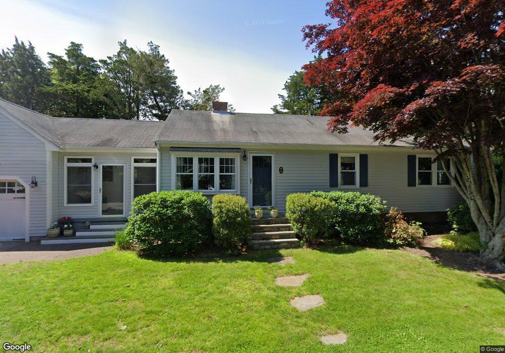
51 Governor Ave Westerly, RI 02891
Estimated Value: $622,000 - $833,000
3
Beds
2
Baths
1,144
Sq Ft
$638/Sq Ft
Est. Value
About This Home
This home is located at 51 Governor Ave, Westerly, RI 02891 and is currently estimated at $729,429, approximately $637 per square foot. 51 Governor Ave is a home located in Washington County with nearby schools including Westerly High School.
Ownership History
Date
Name
Owned For
Owner Type
Purchase Details
Closed on
Feb 5, 2010
Sold by
Ellingwood David B
Bought by
Ellingwood David B and Ellingwood Debra E
Current Estimated Value
Purchase Details
Closed on
Nov 30, 2009
Sold by
Ellingwood Stephen L and Ellingwood David B
Bought by
Ellingwood David B
Purchase Details
Closed on
May 15, 1998
Sold by
Galuza Rita
Bought by
Ellingwood Harry L and Ellingwood Narjorie P
Create a Home Valuation Report for This Property
The Home Valuation Report is an in-depth analysis detailing your home's value as well as a comparison with similar homes in the area
Home Values in the Area
Average Home Value in this Area
Purchase History
| Date | Buyer | Sale Price | Title Company |
|---|---|---|---|
| Ellingwood David B | -- | -- | |
| Ellingwood David B | -- | -- | |
| Ellingwood Harry L | $140,000 | -- |
Source: Public Records
Mortgage History
| Date | Status | Borrower | Loan Amount |
|---|---|---|---|
| Open | Ellingwood Harry L | $125,000 |
Source: Public Records
Tax History
| Year | Tax Paid | Tax Assessment Tax Assessment Total Assessment is a certain percentage of the fair market value that is determined by local assessors to be the total taxable value of land and additions on the property. | Land | Improvement |
|---|---|---|---|---|
| 2025 | $4,298 | $604,500 | $324,100 | $280,400 |
| 2024 | $4,456 | $454,200 | $231,500 | $222,700 |
| 2023 | $4,369 | $454,200 | $231,500 | $222,700 |
| 2022 | $4,342 | $454,200 | $231,500 | $222,700 |
| 2021 | $3,956 | $343,400 | $171,200 | $172,200 |
| 2020 | $3,821 | $337,800 | $171,200 | $166,600 |
| 2019 | $3,783 | $337,800 | $171,200 | $166,600 |
| 2018 | $3,604 | $303,400 | $171,200 | $132,200 |
| 2017 | $3,516 | $303,400 | $171,200 | $132,200 |
| 2016 | $3,544 | $303,400 | $171,200 | $132,200 |
| 2015 | $3,484 | $322,000 | $174,700 | $147,300 |
| 2014 | $3,426 | $322,000 | $174,700 | $147,300 |
Source: Public Records
Map
Nearby Homes
- 46 Salt Pond Way
- 30 Clifford Dr
- 20 Snowberry Ln
- 37 Urso Dr
- 13 Plateau Rd
- 22 Breach Dr
- 11 Bucks Trail
- 15 Breach Dr
- 597 Atlantic Ave
- 446 Atlantic Ave
- 432 Atlantic Ave
- 7 Fenway Rd
- 54 Sherwood Dr
- 19 Wicklow Rd
- 112 Noyes Neck Rd
- 5 Robin Hollow Ln
- 8 Kettle Close
- 342 Post Rd
- 1 Compass Way Unit A103
- 9 Compass Way Unit 201
- 54 Terrace Ave
- 52 Terrace Ave
- 49 Governor Ave
- 60 Winnapaug Ct
- 60 Governor Ave
- 53 Terrace Ave
- 48 Terrace Ave
- 55 Terrace Ave
- 51 Terrace Ave
- 56 Governor Ave
- 69 Salt Pond Way
- 50 Governor Ave
- 47 Terrace Ave
- 58 Salt Pond Way
- 60 Salt Pond Way
- 46 Terrace Ave
- 54 Salt Pond Way
- 65 Salt Pond Way
- 46 Governor Ave
- 44 Terrace Ave
Your Personal Tour Guide
Ask me questions while you tour the home.