51 Hardin Dr Pottsville, AR 72858
Estimated Value: $127,000 - $148,000
--
Bed
--
Bath
1,071
Sq Ft
$132/Sq Ft
Est. Value
About This Home
This home is located at 51 Hardin Dr, Pottsville, AR 72858 and is currently estimated at $141,313, approximately $131 per square foot. 51 Hardin Dr is a home with nearby schools including Pottsville Elementary School, Pottsville Middle Grade, and Pottsville Junior High School.
Ownership History
Date
Name
Owned For
Owner Type
Purchase Details
Closed on
Oct 18, 2024
Sold by
Drew Benita and Drew Jason
Bought by
Henderson Adrian D
Current Estimated Value
Home Financials for this Owner
Home Financials are based on the most recent Mortgage that was taken out on this home.
Original Mortgage
$135,068
Outstanding Balance
$133,648
Interest Rate
6.35%
Mortgage Type
FHA
Estimated Equity
$7,665
Purchase Details
Closed on
Sep 25, 2019
Sold by
Caudell William
Bought by
Drew Benita
Home Financials for this Owner
Home Financials are based on the most recent Mortgage that was taken out on this home.
Original Mortgage
$58,500
Interest Rate
3.6%
Mortgage Type
Commercial
Create a Home Valuation Report for This Property
The Home Valuation Report is an in-depth analysis detailing your home's value as well as a comparison with similar homes in the area
Home Values in the Area
Average Home Value in this Area
Purchase History
| Date | Buyer | Sale Price | Title Company |
|---|---|---|---|
| Henderson Adrian D | $139,000 | None Listed On Document | |
| Drew Benita | $28,500 | Heritage Title & Closing Co |
Source: Public Records
Mortgage History
| Date | Status | Borrower | Loan Amount |
|---|---|---|---|
| Open | Henderson Adrian D | $135,068 | |
| Previous Owner | Drew Benita | $58,500 |
Source: Public Records
Tax History Compared to Growth
Tax History
| Year | Tax Paid | Tax Assessment Tax Assessment Total Assessment is a certain percentage of the fair market value that is determined by local assessors to be the total taxable value of land and additions on the property. | Land | Improvement |
|---|---|---|---|---|
| 2024 | $519 | $10,438 | $900 | $9,538 |
| 2023 | $130 | $2,620 | $900 | $1,720 |
| 2022 | $131 | $2,620 | $900 | $1,720 |
| 2021 | $130 | $2,620 | $900 | $1,720 |
| 2020 | $121 | $2,440 | $720 | $1,720 |
Source: Public Records
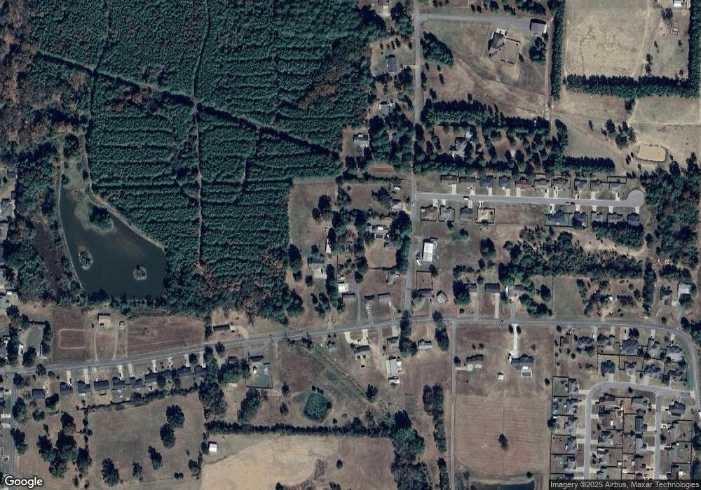
Map
Nearby Homes
- 1085 Day Rd
- 103 Sundance Dr
- 99 Sunflower Dr
- 106 S Fox Run Rd
- 105 S Fox Run Rd
- 11 McAnulty Rd
- 200 Stonecrest Ln
- 000 Pine Ridge Rd
- 178 Maggie Loop
- 0 Apache Dr Unit 25021438
- 000 Apache Dr
- 550 River Rd
- 3050 Sr 247
- 2655 S Elmira Ave
- 450 Apple Ln
- 409 Apple Ln
- 324 Apple Ln
- 370 Apple Ln
- 530 Apple Ln
- 392 Apple Ln