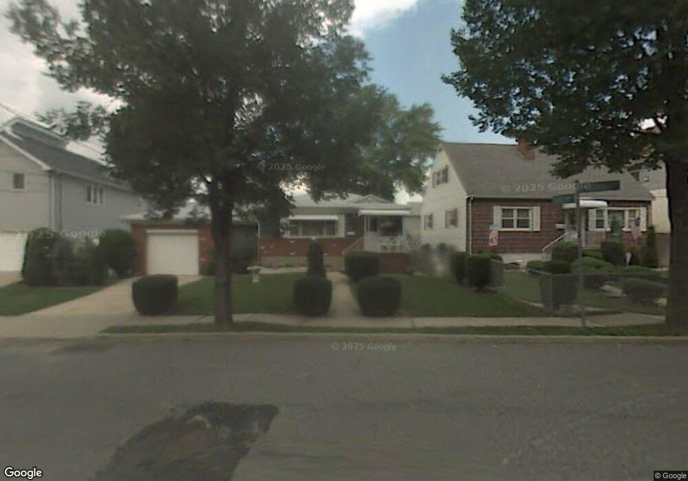
51 Haughwout Ave Staten Island, NY 10302
Port Richmond NeighborhoodEstimated Value: $591,000 - $690,000
3
Beds
2
Baths
1,092
Sq Ft
$585/Sq Ft
Est. Value
About This Home
This home is located at 51 Haughwout Ave, Staten Island, NY 10302 and is currently estimated at $638,310, approximately $584 per square foot. 51 Haughwout Ave is a home located in Richmond County with nearby schools including P.S. 19 The Curtis School, Intermediate School 27, and Port Richmond High School.
Ownership History
Date
Name
Owned For
Owner Type
Purchase Details
Closed on
Aug 23, 2019
Sold by
Pillarella Lois
Bought by
Pillarella Louis
Current Estimated Value
Purchase Details
Closed on
May 15, 2004
Sold by
Pillarella Genevieve
Bought by
Pillarella Lois and Pillarella Louis
Purchase Details
Closed on
Mar 11, 2003
Sold by
Pillarella Louis
Bought by
Pillarella Genevieve
Create a Home Valuation Report for This Property
The Home Valuation Report is an in-depth analysis detailing your home's value as well as a comparison with similar homes in the area
Home Values in the Area
Average Home Value in this Area
Purchase History
| Date | Buyer | Sale Price | Title Company |
|---|---|---|---|
| Pillarella Louis | $235,225 | Bentley Abstract | |
| Pillarella Lois | -- | -- | |
| Pillarella Genevieve | -- | -- |
Source: Public Records
Tax History Compared to Growth
Tax History
| Year | Tax Paid | Tax Assessment Tax Assessment Total Assessment is a certain percentage of the fair market value that is determined by local assessors to be the total taxable value of land and additions on the property. | Land | Improvement |
|---|---|---|---|---|
| 2025 | $5,784 | $32,160 | $15,516 | $16,644 |
| 2024 | $5,784 | $30,720 | $15,581 | $15,139 |
| 2023 | $5,849 | $28,800 | $13,385 | $15,415 |
| 2022 | $5,612 | $33,300 | $16,620 | $16,680 |
| 2021 | $5,581 | $28,800 | $16,620 | $12,180 |
| 2020 | $5,296 | $25,020 | $16,620 | $8,400 |
| 2019 | $3,357 | $24,000 | $16,620 | $7,380 |
| 2018 | $3,323 | $24,336 | $16,243 | $8,093 |
| 2017 | $3,763 | $24,152 | $16,357 | $7,795 |
| 2016 | $3,451 | $22,785 | $15,978 | $6,807 |
| 2015 | $2,882 | $21,496 | $12,601 | $8,895 |
| 2014 | $2,882 | $20,280 | $14,280 | $6,000 |
Source: Public Records
Map
Nearby Homes
- 155 Cortlandt St
- 21 Dryden Ct
- 152 Cortlandt St
- 46 Catherine St
- 67 Lexington Ave
- 1328 Forest Ave
- 125 Decker Ave
- 322 Jewett Ave
- 328 Jewett Ave
- 25 Lexington Ave
- 99 Llewellyn Place
- 286 Jewett Ave
- 172-174 Llewellyn Place
- 176 Dubois Ave
- 30 Decker Ave
- 57 Burnside Ave
- 938 Post Ave
- 263 Decker Ave
- 200 Llewellyn Place
- 119 Dubois Ave