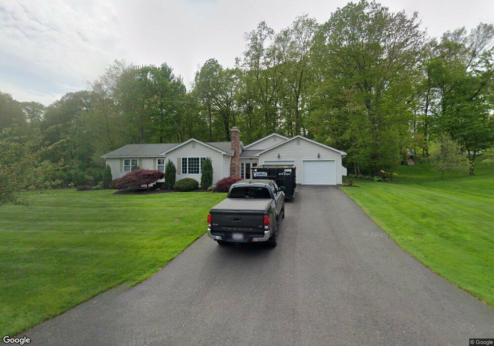
51 High Meadow Dr West Springfield, MA 01089
Estimated Value: $447,000 - $543,000
4
Beds
1
Bath
2,098
Sq Ft
$235/Sq Ft
Est. Value
About This Home
This home is located at 51 High Meadow Dr, West Springfield, MA 01089 and is currently estimated at $492,908, approximately $234 per square foot. 51 High Meadow Dr is a home located in Hampden County with nearby schools including West Springfield High School, Hampden Charter School of Science West, and St Thomas The Apostle School.
Ownership History
Date
Name
Owned For
Owner Type
Purchase Details
Closed on
Jun 25, 2024
Sold by
Shields Paul C
Bought by
Shields Paul C and Granger Jane F
Current Estimated Value
Home Financials for this Owner
Home Financials are based on the most recent Mortgage that was taken out on this home.
Original Mortgage
$40,000
Outstanding Balance
$39,289
Interest Rate
7.02%
Mortgage Type
Credit Line Revolving
Estimated Equity
$453,619
Purchase Details
Closed on
Jul 30, 2004
Sold by
Looney Lidia R
Bought by
Granger Jane S and Shields Paul C
Home Financials for this Owner
Home Financials are based on the most recent Mortgage that was taken out on this home.
Original Mortgage
$184,000
Interest Rate
6.33%
Mortgage Type
Purchase Money Mortgage
Create a Home Valuation Report for This Property
The Home Valuation Report is an in-depth analysis detailing your home's value as well as a comparison with similar homes in the area
Home Values in the Area
Average Home Value in this Area
Purchase History
| Date | Buyer | Sale Price | Title Company |
|---|---|---|---|
| Shields Paul C | -- | None Available | |
| Shields Paul C | -- | None Available | |
| Granger Jane S | $230,000 | -- | |
| Granger Jane S | $230,000 | -- |
Source: Public Records
Mortgage History
| Date | Status | Borrower | Loan Amount |
|---|---|---|---|
| Open | Shields Paul C | $40,000 | |
| Closed | Shields Paul C | $40,000 | |
| Previous Owner | Granger Jane S | $266,700 | |
| Previous Owner | Granger Jane S | $184,000 | |
| Previous Owner | Granger Jane S | $26,000 |
Source: Public Records
Tax History
| Year | Tax Paid | Tax Assessment Tax Assessment Total Assessment is a certain percentage of the fair market value that is determined by local assessors to be the total taxable value of land and additions on the property. | Land | Improvement |
|---|---|---|---|---|
| 2025 | $6,174 | $415,200 | $148,700 | $266,500 |
| 2024 | $6,028 | $407,000 | $148,700 | $258,300 |
| 2023 | $5,994 | $385,700 | $164,600 | $221,100 |
| 2022 | $5,407 | $343,100 | $149,600 | $193,500 |
| 2021 | $5,460 | $323,100 | $142,400 | $180,700 |
| 2020 | $5,427 | $319,400 | $142,400 | $177,000 |
| 2019 | $5,417 | $319,400 | $142,400 | $177,000 |
| 2018 | $5,446 | $319,400 | $142,400 | $177,000 |
| 2017 | $5,446 | $319,400 | $142,400 | $177,000 |
| 2016 | $5,371 | $316,100 | $137,000 | $179,100 |
| 2015 | $5,265 | $309,900 | $134,300 | $175,600 |
| 2014 | $1,280 | $309,900 | $134,300 | $175,600 |
Source: Public Records
Map
Nearby Homes
- 34 High Meadow Dr
- 0 Ahiska Rd Unit 73477754
- 750 Amostown Rd
- 67 Redden Rd
- 88 Verdugo St
- 240 Morton St
- 65 Verdugo St
- 61 Clarence St
- 404 Brush Hill Ave
- 10 Beauregard Terrace
- 117 Sibley Ave
- 62 Talcott Ave
- 1996 Westfield St
- 36 Shady Brook
- 65 Churchill Rd
- 2 Windpath E
- 11 Annie's Way
- 242 Eastwood Dr
- 361 Prospect Ave
- 144 Almon Ave
- 63 High Meadow Dr
- 35 High Meadow Dr
- 48 High Meadow Dr
- 21 High Meadow Dr
- 79 High Meadow Dr
- 64 High Meadow Dr
- 78 High Meadow Dr
- 7 High Meadow Dr
- 14 High Meadow Dr
- 94 High Meadow Dr
- 25 Timber Ridge Rd
- 9 Timber Ridge Rd
- 39 Timber Ridge Rd
- 110 High Meadow Dr
- 190 Edgewood Rd
- 49 Timber Ridge Rd
- 231 Edgewood Rd
- 161 Edgewood Rd
- 174 Edgewood Rd
- 28 Timber Ridge Rd
Your Personal Tour Guide
Ask me questions while you tour the home.