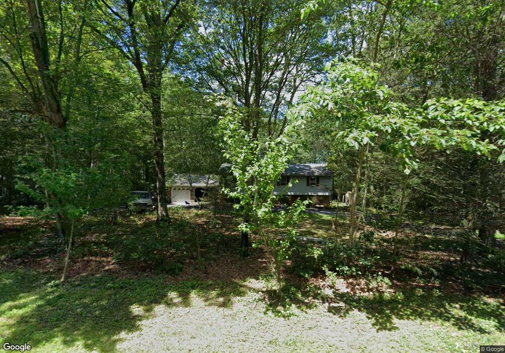
51 High Point Dr Kunkletown, PA 18058
Estimated Value: $309,667 - $416,000
3
Beds
2
Baths
1,236
Sq Ft
$296/Sq Ft
Est. Value
About This Home
This home is located at 51 High Point Dr, Kunkletown, PA 18058 and is currently estimated at $366,167, approximately $296 per square foot. 51 High Point Dr is a home located in Monroe County with nearby schools including Pleasant Valley Elementary School, Pleasant Valley Intermediate School, and Pleasant Valley Middle School.
Ownership History
Date
Name
Owned For
Owner Type
Purchase Details
Closed on
Jul 26, 2019
Sold by
Kelljcheain Robert and Kelljcheain Theresa
Bought by
Wentz Ryan T and Zietlow Ashley M
Current Estimated Value
Home Financials for this Owner
Home Financials are based on the most recent Mortgage that was taken out on this home.
Original Mortgage
$194,400
Outstanding Balance
$170,676
Interest Rate
3.82%
Mortgage Type
New Conventional
Estimated Equity
$195,491
Purchase Details
Closed on
Aug 8, 1989
Bought by
Kelljcheain Robert and Kelljcheain Theresa
Create a Home Valuation Report for This Property
The Home Valuation Report is an in-depth analysis detailing your home's value as well as a comparison with similar homes in the area
Home Values in the Area
Average Home Value in this Area
Purchase History
| Date | Buyer | Sale Price | Title Company |
|---|---|---|---|
| Wentz Ryan T | $216,000 | Carbon Search & Setmnt Svcs | |
| Kelljcheain Robert | $28,300 | -- |
Source: Public Records
Mortgage History
| Date | Status | Borrower | Loan Amount |
|---|---|---|---|
| Open | Wentz Ryan T | $194,400 |
Source: Public Records
Tax History
| Year | Tax Paid | Tax Assessment Tax Assessment Total Assessment is a certain percentage of the fair market value that is determined by local assessors to be the total taxable value of land and additions on the property. | Land | Improvement |
|---|---|---|---|---|
| 2025 | $1,024 | $158,330 | $37,370 | $120,960 |
| 2024 | $728 | $158,330 | $37,370 | $120,960 |
| 2023 | $4,510 | $158,330 | $37,370 | $120,960 |
| 2022 | $4,379 | $158,330 | $37,370 | $120,960 |
| 2021 | $4,279 | $158,330 | $37,370 | $120,960 |
| 2019 | $5,069 | $28,910 | $6,450 | $22,460 |
| 2018 | $5,011 | $28,910 | $6,450 | $22,460 |
| 2017 | $5,011 | $28,910 | $6,450 | $22,460 |
| 2016 | $739 | $28,910 | $6,450 | $22,460 |
| 2015 | -- | $28,910 | $6,450 | $22,460 |
| 2014 | -- | $28,910 | $6,450 | $22,460 |
Source: Public Records
Map
Nearby Homes
- 118 Sterner Run Rd
- 4193 Forest Dr
- 217 Lower Valley Dr
- Lot K15 Lincoln Green Dr K15
- 1116 Dr
- 208 Ash Ln
- 687 Dotters Corner Rd
- 9064 Robinhood Dr
- 0 Rd
- 9153 Twin Lake Dr
- 9153 Robinhood Dr
- 725 Dotters Corner Rd
- 8676 Twin Lake Dr
- 183 Dogwood Ln
- 240 Bird Ln
- 115 Gumwood Ln
- 500 Sumac Ct
- 196 Dogwood Ln
- 1 Tioga Dr
- 0 Tioga Dr
- 186 High Point Dr
- 50 High Point Dr
- 180 High Point Dr
- 53 Sterner Run Rd
- 52 High Point Dr
- 128 Sterner Run Rd
- 124 Sterner Run Rd
- 56 Kyle Dr
- 199 High Point Dr
- 57 Kyle Dr
- 189 High Point Dr
- 24 High Point Dr
- 25 High Point Dr
- 183 High Point Dr
- Lot 16 Sterner Run Rd
- 1442 Sterner Run Rd
- 55 Sterner Run Rd
- 137 Kyle Dr
- 55 Kyle and Sterner
- 26 High Point Dr
Your Personal Tour Guide
Ask me questions while you tour the home.