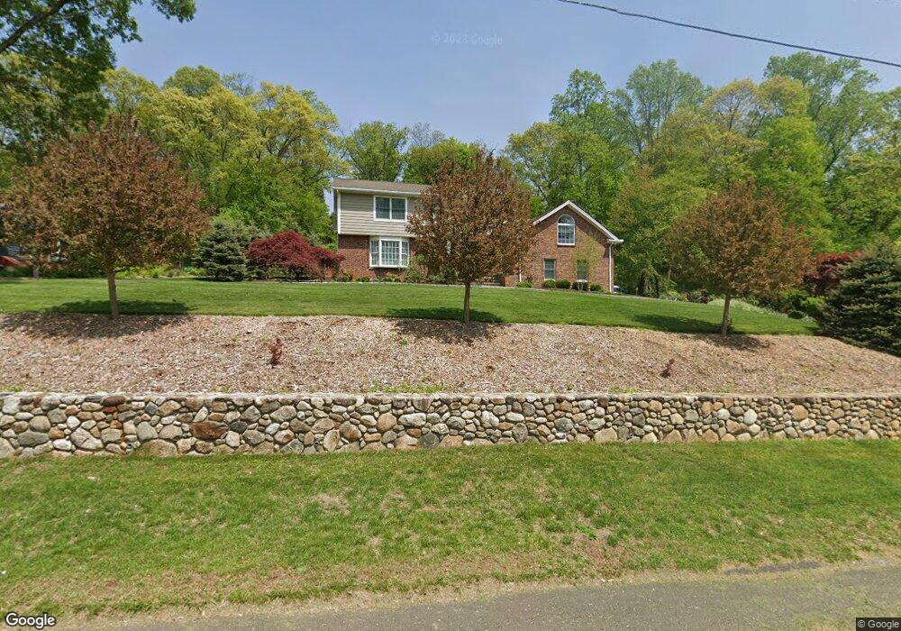
51 Hills Point Rd Trumbull, CT 06611
Tashua NeighborhoodEstimated Value: $685,000 - $834,884
4
Beds
3
Baths
3,120
Sq Ft
$248/Sq Ft
Est. Value
About This Home
This home is located at 51 Hills Point Rd, Trumbull, CT 06611 and is currently estimated at $773,971, approximately $248 per square foot. 51 Hills Point Rd is a home located in Fairfield County with nearby schools including Jane Ryan School, Madison Middle School, and Trumbull High School.
Ownership History
Date
Name
Owned For
Owner Type
Purchase Details
Closed on
Aug 11, 2003
Sold by
Leiman Allan H and Leiman Florence
Bought by
Bartoli Sheri L and Bartoli Daniel
Current Estimated Value
Home Financials for this Owner
Home Financials are based on the most recent Mortgage that was taken out on this home.
Original Mortgage
$300,000
Interest Rate
5.28%
Create a Home Valuation Report for This Property
The Home Valuation Report is an in-depth analysis detailing your home's value as well as a comparison with similar homes in the area
Home Values in the Area
Average Home Value in this Area
Purchase History
| Date | Buyer | Sale Price | Title Company |
|---|---|---|---|
| Bartoli Sheri L | $390,000 | -- |
Source: Public Records
Mortgage History
| Date | Status | Borrower | Loan Amount |
|---|---|---|---|
| Open | Bartoli Sheri L | $200,000 | |
| Closed | Bartoli Sheri L | $29,455 | |
| Closed | Bartoli Sheri L | $75,000 | |
| Closed | Bartoli Sheri L | $300,000 |
Source: Public Records
Tax History
| Year | Tax Paid | Tax Assessment Tax Assessment Total Assessment is a certain percentage of the fair market value that is determined by local assessors to be the total taxable value of land and additions on the property. | Land | Improvement |
|---|---|---|---|---|
| 2025 | $13,892 | $378,070 | $170,170 | $207,900 |
| 2024 | $13,499 | $378,070 | $170,170 | $207,900 |
| 2023 | $13,284 | $378,070 | $170,170 | $207,900 |
| 2022 | $13,070 | $378,070 | $170,170 | $207,900 |
| 2021 | $12,739 | $350,350 | $148,260 | $202,090 |
| 2020 | $12,495 | $350,350 | $148,260 | $202,090 |
| 2018 | $12,215 | $350,350 | $148,260 | $202,090 |
| 2017 | $11,989 | $350,350 | $148,260 | $202,090 |
| 2016 | $11,681 | $350,350 | $148,260 | $202,090 |
| 2015 | $11,714 | $349,990 | $148,200 | $201,790 |
| 2014 | $11,466 | $349,990 | $148,200 | $201,790 |
Source: Public Records
Map
Nearby Homes
- 132 Merrimac Dr
- 16 Deepdene Rd
- 43 Limerick Rd
- 39 Zephyr Rd
- 35 Sturbridge Rd
- 40 Rose Terrace
- 215 Fernwood Rd
- 0 Main St
- 78 Old Tree Farm Ln
- 253 Mayfield Dr Unit 253
- 177 Mayfield Dr
- 230 Fitch Pass
- 440 Pitkin Hollow
- 305 Sport Hill Rd
- 93 Tersana Dr
- lot 194 Prospect Ave
- 22 Newman Dr
- 12 Ridgeway Rd
- 1215 Arganese Place
- 26 Grove St
- 57 Hills Point Rd
- 156 Merrimac Dr
- 37 Hills Point Rd
- 150 Merrimac Dr
- 63 Hills Point Rd
- 50 Hills Point Rd
- 56 Hills Point Rd
- 162 Merrimac Dr
- 44 Hills Point Rd
- 144 Merrimac Dr
- 62 Hills Point Rd
- 38 Hills Point Rd
- 31 Hills Point Rd
- 196 Merrimac Dr
- 168 Merrimac Dr
- 5 Three Trees Ln
- 153 Merrimac Dr
- 68 Hills Point Rd
- 180 Merrimac Dr
Your Personal Tour Guide
Ask me questions while you tour the home.