51 Hines Ave Warren, MA 01083
Estimated Value: $347,565 - $450,000
3
Beds
3
Baths
1,747
Sq Ft
$233/Sq Ft
Est. Value
About This Home
This home is located at 51 Hines Ave, Warren, MA 01083 and is currently estimated at $406,891, approximately $232 per square foot. 51 Hines Ave is a home with nearby schools including Quaboag Regional High School.
Ownership History
Date
Name
Owned For
Owner Type
Purchase Details
Closed on
Oct 15, 2003
Sold by
Damore Daniel D and Damore Joanne T
Bought by
Wrobel Linda L
Current Estimated Value
Home Financials for this Owner
Home Financials are based on the most recent Mortgage that was taken out on this home.
Original Mortgage
$150,000
Outstanding Balance
$71,053
Interest Rate
6.43%
Mortgage Type
Purchase Money Mortgage
Estimated Equity
$335,838
Create a Home Valuation Report for This Property
The Home Valuation Report is an in-depth analysis detailing your home's value as well as a comparison with similar homes in the area
Home Values in the Area
Average Home Value in this Area
Purchase History
| Date | Buyer | Sale Price | Title Company |
|---|---|---|---|
| Wrobel Linda L | $239,000 | -- |
Source: Public Records
Mortgage History
| Date | Status | Borrower | Loan Amount |
|---|---|---|---|
| Open | Wrobel Linda L | $150,000 |
Source: Public Records
Tax History
| Year | Tax Paid | Tax Assessment Tax Assessment Total Assessment is a certain percentage of the fair market value that is determined by local assessors to be the total taxable value of land and additions on the property. | Land | Improvement |
|---|---|---|---|---|
| 2025 | $4,523 | $305,400 | $48,300 | $257,100 |
| 2024 | $4,602 | $305,400 | $48,300 | $257,100 |
| 2023 | $4,424 | $280,000 | $48,300 | $231,700 |
| 2022 | $3,778 | $242,800 | $39,800 | $203,000 |
| 2021 | $4,101 | $231,800 | $37,600 | $194,200 |
| 2020 | $180 | $217,300 | $37,600 | $179,700 |
| 2019 | $3,730 | $205,500 | $37,600 | $167,900 |
| 2018 | $152 | $205,500 | $37,600 | $167,900 |
| 2017 | $3,489 | $188,000 | $39,000 | $149,000 |
| 2016 | $3,571 | $180,000 | $37,200 | $142,800 |
| 2015 | $3,212 | $171,300 | $37,200 | $134,100 |
| 2014 | $3,285 | $172,000 | $37,200 | $134,800 |
Source: Public Records
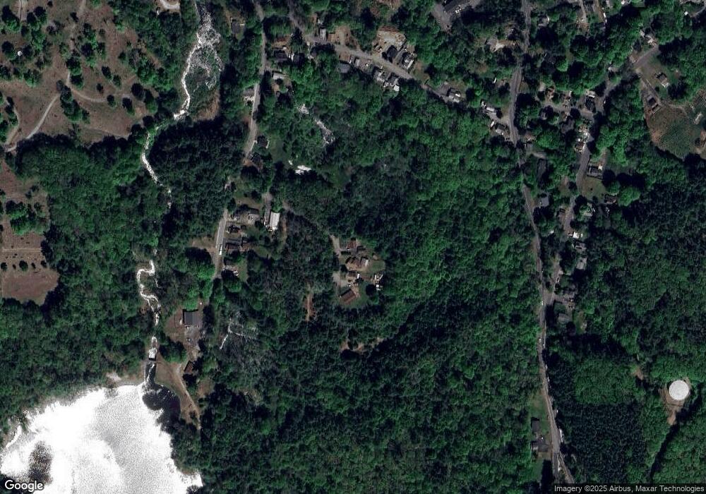
Map
Nearby Homes
- 366 Southbridge Rd
- 83 Comins Pond Rd
- 36 Nelson St
- Lot 8 Southbridge Rd
- LOT 7 Southbridge Rd
- Lot 4 Brimfield Rd
- 59 High St
- Lot 5 Brimfield Rd
- Lot 3 Brimfield Rd
- 17 Otis St
- 8 Otis St
- Lot 4 Reed St
- Lot 7 Reed St
- 40 Hillside Ave
- 352 Reed St
- 0 Town Farm Rd
- 3 Heritage Dr
- 0 Brimfield Rd Unit 73426061
- Lot 3C Crouch Rd
- 95 Town Farm Rd
- 59 Hines Ave
- 67 Hines Ave
- 195 Comins Pond Rd
- 203 Comins Pond Rd
- 1023 Old West Brookfield Rd
- 1102 East Rd
- 1001 Old West Brookfield Rd
- 1071 Old West Brookfield Rd
- 1054 Old West Brookfield Rd
- 1055 Old West Brookfield Rd
- 189 Comins Pond Rd
- 183 Comins Pond Rd
- 151 Comins Pond Rd
- 56 Pine St
- 64 Pine St
- 461 Southbridge Rd
- 197 Southbridge Rd
- 42 Pine St
- 91 Pine St
- 123 Comins Pond Rd
Your Personal Tour Guide
Ask me questions while you tour the home.