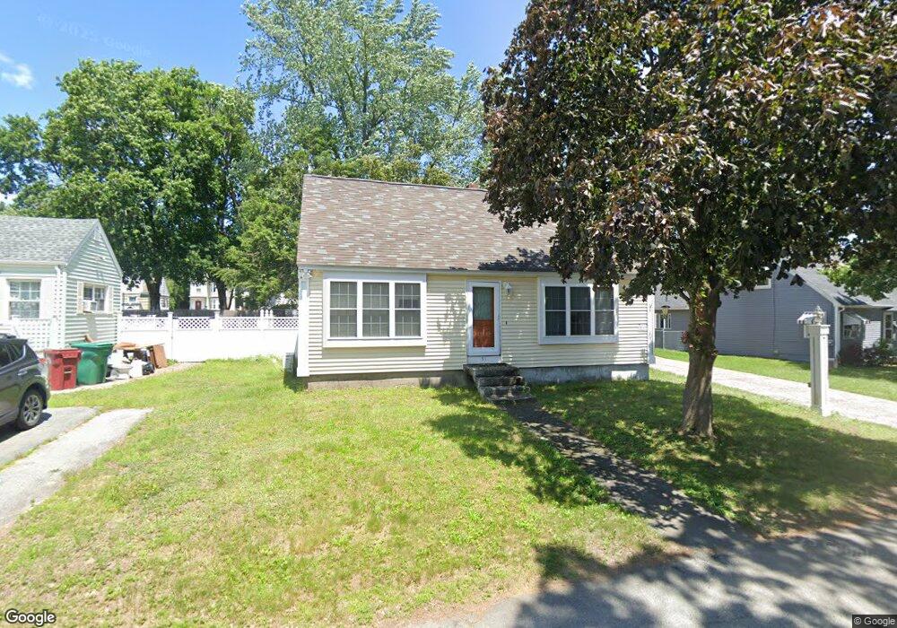
51 Homestead Rd Lowell, MA 01850
Centralville NeighborhoodEstimated Value: $431,000 - $481,000
3
Beds
1
Bath
1,306
Sq Ft
$351/Sq Ft
Est. Value
About This Home
This home is located at 51 Homestead Rd, Lowell, MA 01850 and is currently estimated at $458,695, approximately $351 per square foot. 51 Homestead Rd is a home located in Middlesex County with nearby schools including Greenhalge Elementary School, S. Christa McAuliffe Elementary School, and Moody Elementary School.
Ownership History
Date
Name
Owned For
Owner Type
Purchase Details
Closed on
Nov 17, 2005
Sold by
Allaby Norman G Sr Est and Desantis
Bought by
Degan Dennis R
Current Estimated Value
Home Financials for this Owner
Home Financials are based on the most recent Mortgage that was taken out on this home.
Original Mortgage
$215,000
Outstanding Balance
$118,018
Interest Rate
6.07%
Mortgage Type
Purchase Money Mortgage
Estimated Equity
$340,677
Create a Home Valuation Report for This Property
The Home Valuation Report is an in-depth analysis detailing your home's value as well as a comparison with similar homes in the area
Home Values in the Area
Average Home Value in this Area
Purchase History
| Date | Buyer | Sale Price | Title Company |
|---|---|---|---|
| Degan Dennis R | $215,000 | -- | |
| Degan Dennis R | $215,000 | -- |
Source: Public Records
Mortgage History
| Date | Status | Borrower | Loan Amount |
|---|---|---|---|
| Open | Degan Dennis R | $215,000 | |
| Closed | Degan Dennis R | $215,000 |
Source: Public Records
Tax History
| Year | Tax Paid | Tax Assessment Tax Assessment Total Assessment is a certain percentage of the fair market value that is determined by local assessors to be the total taxable value of land and additions on the property. | Land | Improvement |
|---|---|---|---|---|
| 2025 | $4,885 | $425,500 | $157,800 | $267,700 |
| 2024 | $4,876 | $409,400 | $156,700 | $252,700 |
| 2023 | $4,769 | $384,000 | $136,300 | $247,700 |
| 2022 | $4,271 | $336,600 | $123,900 | $212,700 |
| 2021 | $4,023 | $298,900 | $107,800 | $191,100 |
| 2020 | $3,705 | $277,300 | $88,600 | $188,700 |
| 2019 | $3,339 | $237,800 | $71,200 | $166,600 |
| 2018 | $3,090 | $214,700 | $67,800 | $146,900 |
| 2017 | $2,878 | $192,900 | $53,100 | $139,800 |
| 2016 | $2,797 | $184,500 | $57,100 | $127,400 |
| 2015 | $2,786 | $180,000 | $57,100 | $122,900 |
| 2013 | $2,841 | $189,300 | $76,300 | $113,000 |
Source: Public Records
Map
Nearby Homes
- 15 Dana St
- 99 W 6th St
- 27 Bunker Hill Ave
- 18 May St
- 106 Methuen St Unit B
- 35 Whitney Ave Unit 33
- 23 18th St
- 345 Hildreth St Unit 14
- 45 W 4th St
- 26 Farmland Rd Unit C
- 367 Hildreth St Unit 14
- 367 Hildreth St Unit 33
- 27-29 Fifth St
- 174 River Rd
- 417 Hildreth St Unit 30
- 52 Lawrence Dr Unit 206
- 930 Lakeview Ave
- 25 Read St
- 130 John St Unit G45
- 130 John St Unit 350
- 59 Ruth Ave
- 59 Homestead Rd
- 43 Homestead Rd
- 154 Hildreth St
- 65 Homestead Rd
- 146 Hildreth St
- 66 Ruth Ave
- 162 Hildreth St
- 35 Homestead Rd
- 60 Homestead Rd
- 99 Homestead Rd
- 47 Homestead Rd
- 89 Homestead Rd
- 44 Homestead Rd
- 136 Hildreth St
- 136 Hildreth St Unit B
- 170 Hildreth St
- 68 Homestead Rd
- 148 Bunker Hill Ave
- 165 Bunker Hill Ave
Your Personal Tour Guide
Ask me questions while you tour the home.