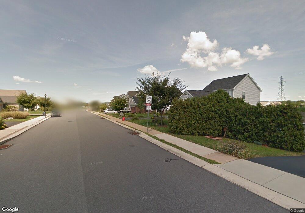
51 Hoover Dr Ephrata, PA 17522
Estimated Value: $445,434 - $494,000
4
Beds
3
Baths
2,264
Sq Ft
$213/Sq Ft
Est. Value
About This Home
This home is located at 51 Hoover Dr, Ephrata, PA 17522 and is currently estimated at $481,359, approximately $212 per square foot. 51 Hoover Dr is a home located in Lancaster County with nearby schools including Ephrata Intermediate School, Clay Elementary School, and Ephrata Senior High School.
Ownership History
Date
Name
Owned For
Owner Type
Purchase Details
Closed on
Jul 20, 2006
Sold by
Catherman Terry A and Catherman Cathy M
Bought by
Matthews Michael T and Farrell Kimberly M
Current Estimated Value
Home Financials for this Owner
Home Financials are based on the most recent Mortgage that was taken out on this home.
Original Mortgage
$125,000
Outstanding Balance
$74,291
Interest Rate
6.67%
Mortgage Type
Purchase Money Mortgage
Estimated Equity
$407,068
Create a Home Valuation Report for This Property
The Home Valuation Report is an in-depth analysis detailing your home's value as well as a comparison with similar homes in the area
Home Values in the Area
Average Home Value in this Area
Purchase History
| Date | Buyer | Sale Price | Title Company |
|---|---|---|---|
| Matthews Michael T | $252,500 | None Available |
Source: Public Records
Mortgage History
| Date | Status | Borrower | Loan Amount |
|---|---|---|---|
| Open | Matthews Michael T | $125,000 |
Source: Public Records
Tax History Compared to Growth
Tax History
| Year | Tax Paid | Tax Assessment Tax Assessment Total Assessment is a certain percentage of the fair market value that is determined by local assessors to be the total taxable value of land and additions on the property. | Land | Improvement |
|---|---|---|---|---|
| 2025 | $5,605 | $243,700 | $46,600 | $197,100 |
| 2024 | $5,605 | $243,700 | $46,600 | $197,100 |
| 2023 | $5,462 | $243,700 | $46,600 | $197,100 |
| 2022 | $5,337 | $243,700 | $46,600 | $197,100 |
| 2021 | $5,198 | $243,700 | $46,600 | $197,100 |
| 2020 | $5,198 | $243,700 | $46,600 | $197,100 |
| 2019 | $5,125 | $243,700 | $46,600 | $197,100 |
| 2018 | $4,003 | $243,700 | $46,600 | $197,100 |
| 2017 | $6,003 | $234,000 | $42,800 | $191,200 |
| 2016 | $5,980 | $234,000 | $42,800 | $191,200 |
| 2015 | $1,195 | $234,000 | $42,800 | $191,200 |
| 2014 | $4,459 | $234,000 | $42,800 | $191,200 |
Source: Public Records
Map
Nearby Homes
- 1413 W Main St
- 308 Liberty St
- 230 Meadowlark Dr
- 124 Morning Dr
- 00 Morning Dr
- 42 Tyler Dr
- 131 Sunrise Ln
- 144 Sunrise Ln
- Amberbrook Plan at Wyndale
- Northfield Plan at Wyndale
- Logan Plan at Wyndale
- Stonecroft Plan at Wyndale
- Darien Plan at Wyndale
- Atworth Plan at Wyndale
- Magnolia Plan at Wyndale
- Baker Plan at Wyndale
- Huntington Plan at Wyndale
- Westbrooke Plan at Wyndale
- Perry Plan at Wyndale
- Charlotte Plan at Wyndale