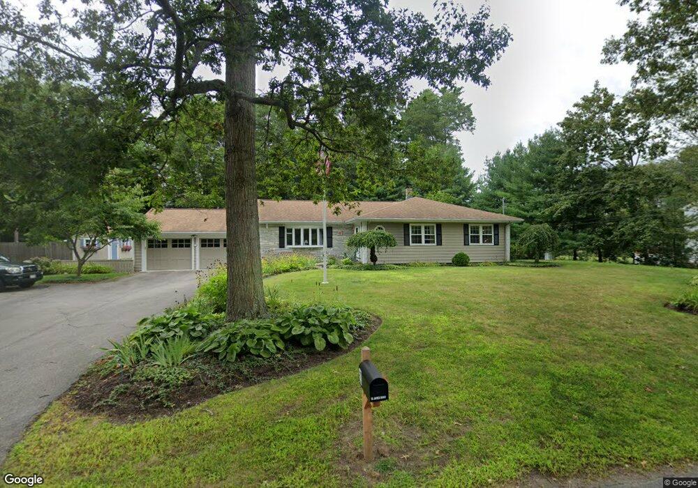
51 James Rd Hanover, MA 02339
Estimated Value: $753,443 - $813,000
4
Beds
2
Baths
1,724
Sq Ft
$457/Sq Ft
Est. Value
About This Home
This home is located at 51 James Rd, Hanover, MA 02339 and is currently estimated at $787,861, approximately $456 per square foot. 51 James Rd is a home located in Plymouth County with nearby schools including Hanover High School, Cadence Academy Preschool - Hanover, and The Master's Academy.
Ownership History
Date
Name
Owned For
Owner Type
Purchase Details
Closed on
Dec 7, 2012
Sold by
Blampied Stephen H and Blampied Emily S
Bought by
Blampied T and Blampied Stephen H
Current Estimated Value
Purchase Details
Closed on
Oct 2, 2007
Sold by
Roberts Scott W and Roberts-Osullivan Jean M
Bought by
Blampied Stephen H and Blampied Emily S
Purchase Details
Closed on
May 22, 1998
Sold by
Dutson Daniel J and Dutson Denise A
Bought by
Roberts Scott W and Roberts Jean M
Home Financials for this Owner
Home Financials are based on the most recent Mortgage that was taken out on this home.
Original Mortgage
$182,000
Interest Rate
7.03%
Mortgage Type
Purchase Money Mortgage
Purchase Details
Closed on
Jan 6, 1988
Sold by
Est Robinson B
Bought by
Dutson Daniel J
Create a Home Valuation Report for This Property
The Home Valuation Report is an in-depth analysis detailing your home's value as well as a comparison with similar homes in the area
Home Values in the Area
Average Home Value in this Area
Purchase History
| Date | Buyer | Sale Price | Title Company |
|---|---|---|---|
| Blampied T | -- | -- | |
| Blampied Stephen H | $420,000 | -- | |
| Roberts Scott W | $232,500 | -- | |
| Dutson Daniel J | $195,000 | -- |
Source: Public Records
Mortgage History
| Date | Status | Borrower | Loan Amount |
|---|---|---|---|
| Previous Owner | Dutson Daniel J | $210,000 | |
| Previous Owner | Dutson Daniel J | $182,000 | |
| Previous Owner | Dutson Daniel J | $100,000 |
Source: Public Records
Tax History
| Year | Tax Paid | Tax Assessment Tax Assessment Total Assessment is a certain percentage of the fair market value that is determined by local assessors to be the total taxable value of land and additions on the property. | Land | Improvement |
|---|---|---|---|---|
| 2025 | $7,464 | $604,400 | $269,400 | $335,000 |
| 2024 | $7,760 | $604,400 | $269,400 | $335,000 |
| 2023 | $7,604 | $563,700 | $244,900 | $318,800 |
| 2022 | $7,648 | $501,500 | $244,900 | $256,600 |
| 2021 | $7,691 | $471,000 | $222,600 | $248,400 |
| 2020 | $8,568 | $464,200 | $222,600 | $241,600 |
| 2019 | $3,842 | $436,800 | $222,600 | $214,200 |
| 2018 | $287 | $427,700 | $222,600 | $205,100 |
| 2017 | $290 | $383,400 | $209,500 | $173,900 |
| 2016 | $6,144 | $364,400 | $190,500 | $173,900 |
| 2015 | $5,549 | $343,600 | $190,500 | $153,100 |
Source: Public Records
Map
Nearby Homes
- 168 Larchmont Ln
- 53 Chestnut St
- 62 Larchmont Ln
- 506 Main St
- 776 Main St
- 68 East St
- 44 Stone Meadow Ln
- 38 Centennial Way
- 47 Stone Meadow Ln
- 535 Webster St
- 33 1st Parish Ln
- 46 Brookwood Rd
- 36 Grove St
- 164 Main St
- 250 Center St
- 51 Cervelli Farm Dr
- 37 Dr
- 23 Cervelli Farm Dr
- 38 Cervelli Farm Dr
- 9 Cervelli Farm Dr
Your Personal Tour Guide
Ask me questions while you tour the home.