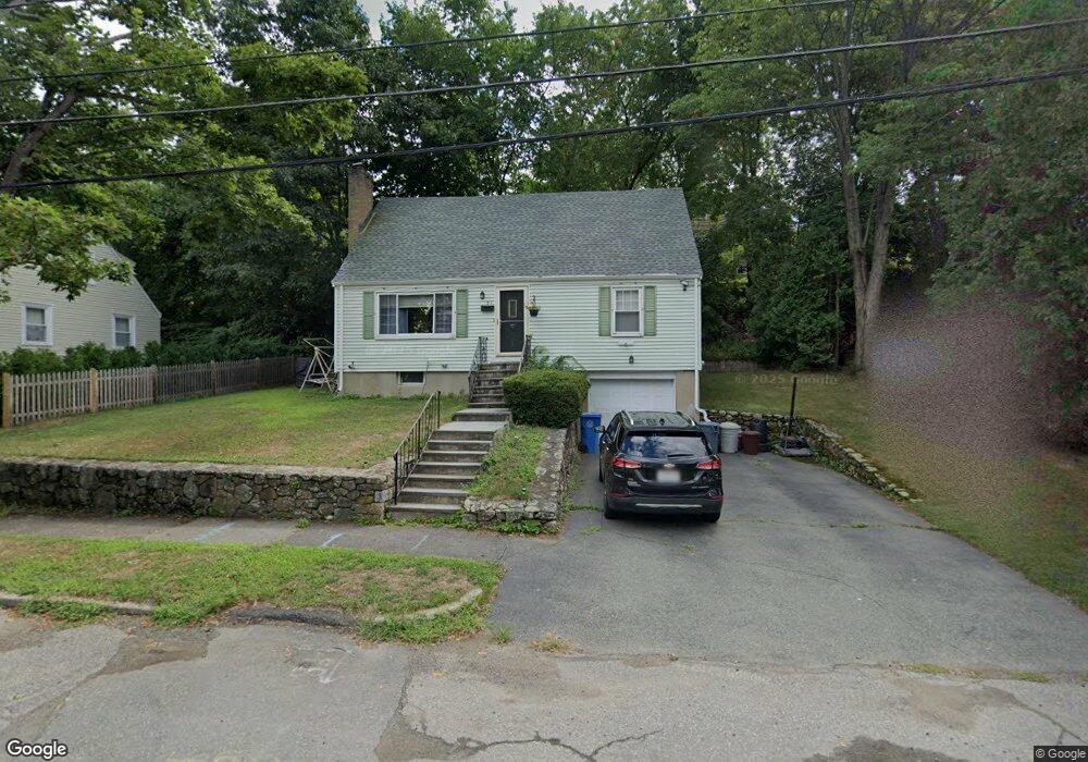
51 Jennings Rd Waltham, MA 02451
Highlands NeighborhoodEstimated Value: $774,066 - $858,000
3
Beds
2
Baths
1,470
Sq Ft
$560/Sq Ft
Est. Value
About This Home
This home is located at 51 Jennings Rd, Waltham, MA 02451 and is currently estimated at $823,017, approximately $559 per square foot. 51 Jennings Rd is a home located in Middlesex County with nearby schools including Thomas R Plympton Elementary School, John F Kennedy Middle School, and Waltham Sr High School.
Ownership History
Date
Name
Owned For
Owner Type
Purchase Details
Closed on
Mar 31, 1995
Sold by
Demarco John A
Bought by
Mccarthy John F
Current Estimated Value
Create a Home Valuation Report for This Property
The Home Valuation Report is an in-depth analysis detailing your home's value as well as a comparison with similar homes in the area
Home Values in the Area
Average Home Value in this Area
Purchase History
| Date | Buyer | Sale Price | Title Company |
|---|---|---|---|
| Mccarthy John F | $166,000 | -- |
Source: Public Records
Mortgage History
| Date | Status | Borrower | Loan Amount |
|---|---|---|---|
| Open | Mccarthy John F | $193,000 | |
| Closed | Mccarthy John F | $180,000 | |
| Closed | Mccarthy John F | $130,000 |
Source: Public Records
Tax History Compared to Growth
Tax History
| Year | Tax Paid | Tax Assessment Tax Assessment Total Assessment is a certain percentage of the fair market value that is determined by local assessors to be the total taxable value of land and additions on the property. | Land | Improvement |
|---|---|---|---|---|
| 2025 | $6,201 | $631,500 | $378,900 | $252,600 |
| 2024 | $6,055 | $628,100 | $378,900 | $249,200 |
| 2023 | $5,992 | $580,600 | $343,800 | $236,800 |
| 2022 | $6,053 | $543,400 | $322,700 | $220,700 |
| 2021 | $5,686 | $502,300 | $294,700 | $207,600 |
| 2020 | $5,564 | $465,600 | $266,700 | $198,900 |
| 2019 | $5,597 | $442,100 | $266,700 | $175,400 |
| 2018 | $5,155 | $408,800 | $247,000 | $161,800 |
| 2017 | $4,852 | $386,300 | $224,500 | $161,800 |
| 2016 | $4,643 | $379,300 | $217,500 | $161,800 |
| 2015 | $4,460 | $339,700 | $203,500 | $136,200 |
Source: Public Records
Map
Nearby Homes
- 91 Prentice St
- 37 Summit St
- 43-45 Welligton Unit 3
- 15 Banks St Unit 4
- 14 Willard St
- 948 Main St Unit 209
- 948 Main St Unit 105
- 14 Claremont St
- 15 Howard St
- 79-81 Vernon St
- 32 Harvard St Unit 2
- 39 Floyd St Unit 2
- 202 Bear Hill Rd
- 326 Bacon St
- 160 School St Unit 3-1
- 7-11.5 Felton
- 16 Winter St Unit 26C
- 55-57 Crescent St
- 85 Crescent St
- 70 School St