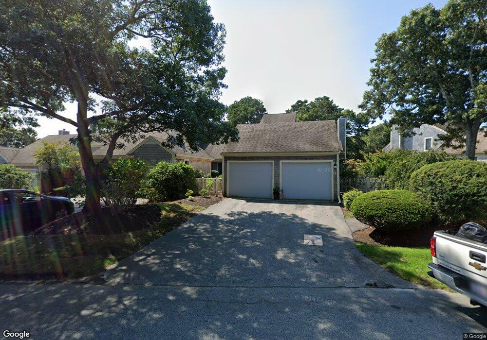
51 Kates Path Unit A Yarmouth Port, MA 02675
Yarmouth Port NeighborhoodEstimated Value: $514,000 - $612,000
2
Beds
3
Baths
1,731
Sq Ft
$320/Sq Ft
Est. Value
About This Home
This home is located at 51 Kates Path Unit A, Yarmouth Port, MA 02675 and is currently estimated at $553,208, approximately $319 per square foot. 51 Kates Path Unit A is a home located in Barnstable County with nearby schools including Dennis-Yarmouth Regional High School.
Ownership History
Date
Name
Owned For
Owner Type
Purchase Details
Closed on
Apr 6, 2011
Sold by
Scott Thomas E and Scott Mary E
Bought by
Clark Norman W
Current Estimated Value
Purchase Details
Closed on
May 16, 1988
Sold by
The Green Co Inc
Bought by
Stott Thomas E
Home Financials for this Owner
Home Financials are based on the most recent Mortgage that was taken out on this home.
Original Mortgage
$208,000
Interest Rate
10.02%
Mortgage Type
Purchase Money Mortgage
Create a Home Valuation Report for This Property
The Home Valuation Report is an in-depth analysis detailing your home's value as well as a comparison with similar homes in the area
Home Values in the Area
Average Home Value in this Area
Purchase History
| Date | Buyer | Sale Price | Title Company |
|---|---|---|---|
| Clark Norman W | $312,500 | -- | |
| Stott Thomas E | $190,000 | -- |
Source: Public Records
Mortgage History
| Date | Status | Borrower | Loan Amount |
|---|---|---|---|
| Previous Owner | Stott Thomas E | $208,000 |
Source: Public Records
Tax History Compared to Growth
Tax History
| Year | Tax Paid | Tax Assessment Tax Assessment Total Assessment is a certain percentage of the fair market value that is determined by local assessors to be the total taxable value of land and additions on the property. | Land | Improvement |
|---|---|---|---|---|
| 2025 | $3,284 | $463,800 | $0 | $463,800 |
| 2024 | $3,298 | $446,900 | $0 | $446,900 |
| 2023 | $2,971 | $366,300 | $0 | $366,300 |
| 2022 | $3,392 | $369,500 | $0 | $369,500 |
| 2021 | $3,300 | $345,200 | $0 | $345,200 |
| 2020 | $3,330 | $333,000 | $0 | $333,000 |
| 2019 | $3,123 | $309,200 | $0 | $309,200 |
| 2018 | $2,937 | $285,400 | $0 | $285,400 |
| 2017 | $2,740 | $273,500 | $0 | $273,500 |
| 2016 | $2,611 | $261,600 | $0 | $261,600 |
| 2015 | -- | $274,800 | $0 | $274,800 |
Source: Public Records
Map
Nearby Homes
- 228 Kates Path
- 50 John Hall Cartway
- 50 John Hall Cartway Unit 50
- 17 Kates Path Unit A
- 64 Kates Path
- 34 Kates Path
- 34 Kates Path Unit 34
- 7 Forest Gate Unit 7
- 30 W Woods
- 30 W Woods Cir Unit 30
- 10 Oak Glen
- 43 Canterbury Rd
- 25 Oak Glen Village Unit 25
- 25 Oak Glen
- 44 Stratford Ln
- 29 Boxwood Cir Unit 29
- 59 Massachusetts 6a Unit 19-2
- 59 Main St Unit 19-2
- 59 Route 6a Unit 29-4
- 6 Nimble Hill Dr
- 53 Kates Path
- 51 Kates Path
- 49 Kates Path
- 47 Kates Path
- 45 Kates Path
- 43 Kates Path
- 47 Kates Path Unit 47-B
- 45 Kates Path Unit C45
- 53 Kate's Path
- 53 Kate's Point Unit 53
- 43 Kates Path Unit 43
- 43 Kates Path Unit H
- 53 Kates Path Unit D
- 61 Kates Path
- 59 Kates Path
- 57 Kates Path
- 55 Kates Path
- 61 Kates Path Unit A
- 59 Kate's Path Unit 59
- 57 Kates Path Unit 57