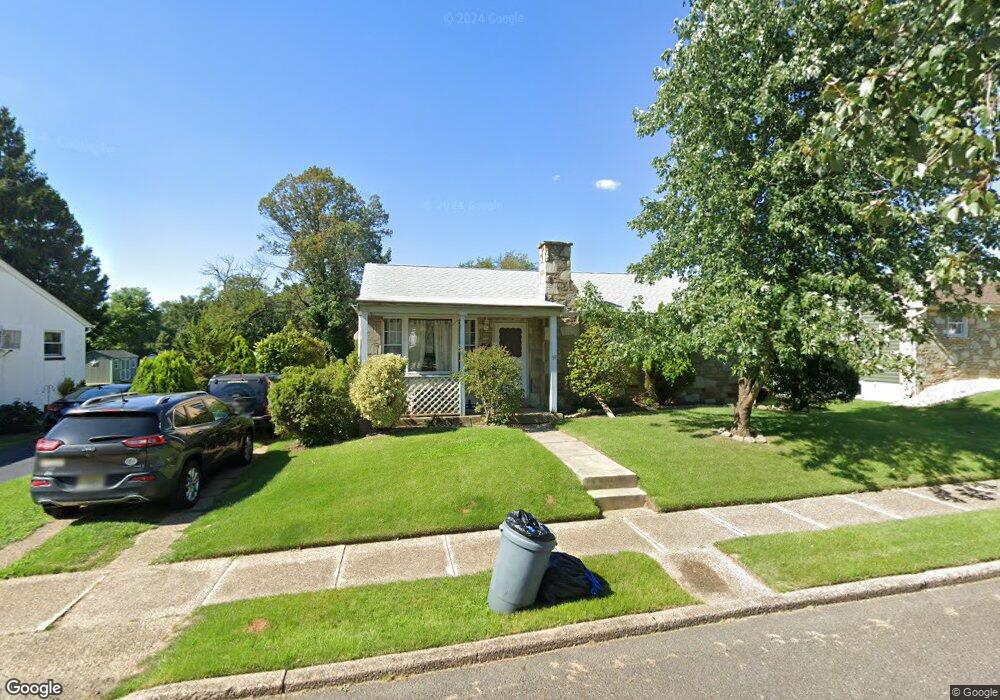
51 Lanci Rd Maple Shade, NJ 08052
Estimated Value: $321,131 - $356,000
Studio
--
Bath
1,064
Sq Ft
$314/Sq Ft
Est. Value
About This Home
This home is located at 51 Lanci Rd, Maple Shade, NJ 08052 and is currently estimated at $334,533, approximately $314 per square foot. 51 Lanci Rd is a home located in Burlington County with nearby schools including Ralph J Steinhauer Elementary School, Maude M. Wilkins Elementary School, and Howard R Yocum School.
Ownership History
Date
Name
Owned For
Owner Type
Purchase Details
Closed on
May 25, 2001
Sold by
Scola John M and Scola Kathleen E
Bought by
Fitzpatrick Amy
Current Estimated Value
Home Financials for this Owner
Home Financials are based on the most recent Mortgage that was taken out on this home.
Original Mortgage
$120,607
Outstanding Balance
$45,401
Interest Rate
7.14%
Mortgage Type
FHA
Estimated Equity
$289,132
Purchase Details
Closed on
Oct 29, 1998
Sold by
Gallagher Rita M and Gallagher Joseph F
Bought by
Scola John M and Scola Kathleen E
Home Financials for this Owner
Home Financials are based on the most recent Mortgage that was taken out on this home.
Original Mortgage
$80,700
Interest Rate
6.64%
Create a Home Valuation Report for This Property
The Home Valuation Report is an in-depth analysis detailing your home's value as well as a comparison with similar homes in the area
Home Values in the Area
Average Home Value in this Area
Purchase History
| Date | Buyer | Sale Price | Title Company |
|---|---|---|---|
| Fitzpatrick Amy | $122,500 | -- | |
| Scola John M | $85,000 | -- |
Source: Public Records
Mortgage History
| Date | Status | Borrower | Loan Amount |
|---|---|---|---|
| Open | Fitzpatrick Amy | $120,607 | |
| Previous Owner | Scola John M | $80,700 |
Source: Public Records
Tax History
| Year | Tax Paid | Tax Assessment Tax Assessment Total Assessment is a certain percentage of the fair market value that is determined by local assessors to be the total taxable value of land and additions on the property. | Land | Improvement |
|---|---|---|---|---|
| 2025 | $6,134 | $161,600 | $51,100 | $110,500 |
| 2024 | $5,957 | $161,600 | $51,100 | $110,500 |
| 2023 | $5,957 | $161,600 | $51,100 | $110,500 |
| 2022 | $5,864 | $161,600 | $51,100 | $110,500 |
| 2021 | $5,808 | $161,600 | $51,100 | $110,500 |
| 2020 | $5,824 | $161,600 | $51,100 | $110,500 |
| 2019 | $5,611 | $161,600 | $51,100 | $110,500 |
| 2018 | $5,514 | $161,600 | $51,100 | $110,500 |
| 2017 | $5,449 | $161,600 | $51,100 | $110,500 |
| 2016 | $5,368 | $161,600 | $51,100 | $110,500 |
| 2015 | $5,252 | $161,600 | $51,100 | $110,500 |
| 2014 | $5,092 | $161,600 | $51,100 | $110,500 |
Source: Public Records
Map
Nearby Homes
- 27 Indian Queen Ln
- 331 Collins Ln
- 48 5th Ave
- 400 N Forklanding Rd
- 3120 Route 73 N
- 2819 Haddonfield Rd
- 8315 Stockton Ave
- 8539 Bryn Mawr Ave
- 207 E Park Ave
- 712 E Woodlawn Ave
- 8201 Weymouth Dr
- 8661 Wyndam Rd
- 8323 Maple Ave
- 411 A3 Stiles Ave Unit A-3
- 411 C12 Stiles Ave Unit C-12
- 411 A2 Stiles Ave Unit A-2
- 5 Exeter Place
- 48 Helen Ave
- 57 S Terrace Ave
- 35 Farnsworth Ave
Your Personal Tour Guide
Ask me questions while you tour the home.