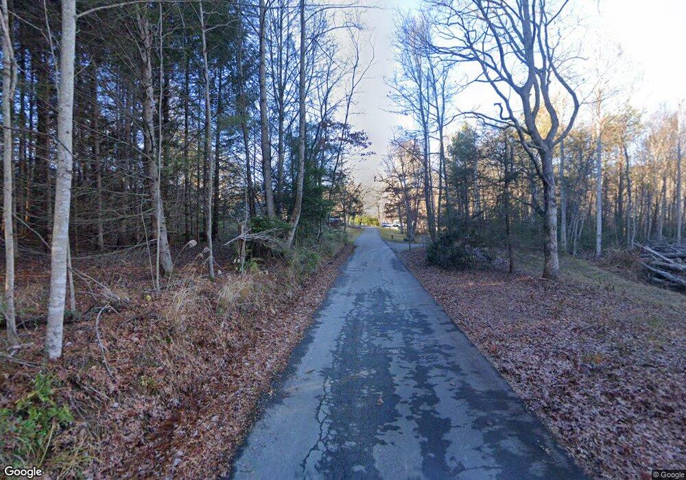
51 Laurel Dr Black Mountain, NC 28711
Estimated Value: $316,529 - $403,000
3
Beds
2
Baths
1,040
Sq Ft
$352/Sq Ft
Est. Value
About This Home
This home is located at 51 Laurel Dr, Black Mountain, NC 28711 and is currently estimated at $366,382, approximately $352 per square foot. 51 Laurel Dr is a home located in Buncombe County with nearby schools including Black Mountain Primary, Black Mountain Elementary School, and Charles D. Owen Middle School.
Ownership History
Date
Name
Owned For
Owner Type
Purchase Details
Closed on
Nov 26, 2013
Sold by
Mclean Patricia C and Mclean Hector
Bought by
Davis Andrew Lee and Davis Jennifer Gilliam
Current Estimated Value
Home Financials for this Owner
Home Financials are based on the most recent Mortgage that was taken out on this home.
Original Mortgage
$137,500
Outstanding Balance
$102,447
Interest Rate
4.13%
Mortgage Type
New Conventional
Estimated Equity
$263,935
Purchase Details
Closed on
Apr 28, 2006
Sold by
Mclean Patricia C
Bought by
Mclean Patricia C
Purchase Details
Closed on
Nov 4, 1999
Sold by
Dempsey B L and Dempsey Georgeann
Bought by
Mclean Hector and Mclean Patricia C
Create a Home Valuation Report for This Property
The Home Valuation Report is an in-depth analysis detailing your home's value as well as a comparison with similar homes in the area
Home Values in the Area
Average Home Value in this Area
Purchase History
| Date | Buyer | Sale Price | Title Company |
|---|---|---|---|
| Davis Andrew Lee | $148,000 | None Available | |
| Mclean Patricia C | -- | None Available | |
| Mclean Hector | $90,000 | -- |
Source: Public Records
Mortgage History
| Date | Status | Borrower | Loan Amount |
|---|---|---|---|
| Open | Davis Andrew Lee | $137,500 |
Source: Public Records
Tax History Compared to Growth
Tax History
| Year | Tax Paid | Tax Assessment Tax Assessment Total Assessment is a certain percentage of the fair market value that is determined by local assessors to be the total taxable value of land and additions on the property. | Land | Improvement |
|---|---|---|---|---|
| 2025 | $1,346 | $198,700 | $25,400 | $173,300 |
| 2024 | $1,346 | $198,700 | $25,400 | $173,300 |
| 2023 | $1,346 | $198,700 | $25,400 | $173,300 |
| 2022 | $1,288 | $198,700 | $25,400 | $173,300 |
| 2021 | $1,288 | $198,700 | $0 | $0 |
| 2020 | $938 | $136,100 | $0 | $0 |
| 2019 | $938 | $136,100 | $0 | $0 |
| 2018 | $938 | $136,100 | $0 | $0 |
| 2017 | $924 | $111,700 | $0 | $0 |
| 2016 | $831 | $111,700 | $0 | $0 |
| 2015 | $831 | $111,700 | $0 | $0 |
| 2014 | $831 | $111,700 | $0 | $0 |
Source: Public Records
Map
Nearby Homes
- 784 Shumont Rd
- 685 Shumont Rd
- 630 Shumont Rd
- 34 Rainbow Lake Cir
- 000 Fawns Rest
- 186 Sloshy Branch Trail
- 14 Johnny Farm Rd
- 0000 H and H Trail
- 00 H and H Trail
- 9999 Still Spring Rd Unit Lot 4
- 9999 Still Spring Rd
- 000 Cascada Vista Dr Unit 20&21
- 0 Hummingbird Ct
- 123 Hummingbird Ct
- 999 Hardison Falls Trail
- Lot 229 Swallow Ln
- Lot 230 Swallow Ln
- 400 Kings Dr
- 199 Upper Bat Cave Dr
- 380 Main St
- 765 Shumont Rd
- 800 Auten Cir
- 53 Auten Cir
- 14 Roxie Knob Rd
- 769 Shumont Rd
- 34 Auten Cir
- 15 Roxie Knob Rd
- 37 Auten Cir
- 99999 Auten Cir Unit 15 & 38
- 99999 Auten Cir Unit 24 and TBD
- 45 Roxie Knob Rd
- 24 Auten Cir
- 999 Shumont Rd (Off Of)
- 766 Shumont Rd
- 766 Shumont Rd Unit 5
- 776 Shumont Rd
- 776 Shumont Rd Unit 4
- 754 Shumont Rd
- 754 Shumont Rd Unit 6
- 5 Roxie Knob Rd
