51 Libby Point Rd Baileyville, ME 04694
Estimated Value: $202,000 - $384,726
9
Beds
4
Baths
--
Sq Ft
1.7
Acres
About This Home
This home is located at 51 Libby Point Rd, Baileyville, ME 04694 and is currently estimated at $305,682. 51 Libby Point Rd is a home located in Washington County with nearby schools including Woodland Elementary School and Woodland Junior/Senior High School.
Ownership History
Date
Name
Owned For
Owner Type
Purchase Details
Closed on
Sep 30, 2020
Sold by
Robinson Stephanie W and Robinson Robert J
Bought by
Croman Dale
Current Estimated Value
Purchase Details
Closed on
Sep 28, 2007
Sold by
Shain Ruth
Bought by
Croman Dale
Home Financials for this Owner
Home Financials are based on the most recent Mortgage that was taken out on this home.
Original Mortgage
$230,000
Interest Rate
6.65%
Mortgage Type
Commercial
Create a Home Valuation Report for This Property
The Home Valuation Report is an in-depth analysis detailing your home's value as well as a comparison with similar homes in the area
Home Values in the Area
Average Home Value in this Area
Purchase History
| Date | Buyer | Sale Price | Title Company |
|---|---|---|---|
| Croman Dale | -- | None Available | |
| Croman Dale | -- | -- |
Source: Public Records
Mortgage History
| Date | Status | Borrower | Loan Amount |
|---|---|---|---|
| Previous Owner | Croman Dale | $230,000 |
Source: Public Records
Tax History Compared to Growth
Tax History
| Year | Tax Paid | Tax Assessment Tax Assessment Total Assessment is a certain percentage of the fair market value that is determined by local assessors to be the total taxable value of land and additions on the property. | Land | Improvement |
|---|---|---|---|---|
| 2024 | $5,095 | $271,000 | $91,900 | $179,100 |
| 2023 | $4,412 | $231,000 | $77,500 | $153,500 |
| 2022 | $3,729 | $189,300 | $57,700 | $131,600 |
| 2021 | $3,606 | $178,500 | $46,900 | $131,600 |
| 2020 | $3,438 | $167,700 | $46,900 | $120,800 |
| 2019 | $3,337 | $167,700 | $46,900 | $120,800 |
| 2018 | $2,968 | $167,700 | $46,900 | $120,800 |
| 2017 | $2,801 | $167,700 | $46,900 | $120,800 |
| 2016 | $2,801 | $167,700 | $46,900 | $120,800 |
| 2015 | $3,421 | $167,700 | $46,900 | $120,800 |
| 2014 | $3,438 | $167,700 | $46,900 | $120,800 |
| 2013 | $2,715 | $125,100 | $46,900 | $78,200 |
Source: Public Records
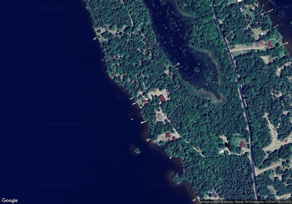
Map
Nearby Homes
- 877 Grand Falls Rd
- 40 Blackcat Point Dr
- lot 5 Black Cat Point
- 0 Mill M1 L21-1 St
- 0 Blackcat Point Dr
- 124 Mill St
- 47 Mill St
- 111 Main St
- 26 School St
- 296 U S Route 1
- 61 Lakeside Place
- 15 Crowe Ln
- Lot#3 Crowe Ln
- 476 West St
- #002-006 Hilltop Ln
- M2/L2-2 S Princeton Rd
- M2/L2-3 S Princeton Rd
- 954 S Princeton Rd
- 9 Hunter
- 60 Summit St
- 58 Libby Point Rd
- 41 Libby Point Rd
- 31 Libby Point Rd
- 61 Libby Point Rd
- 12 Libby Point Rd
- 2.5 off Lamb Farm Rd
- 267 Lamb Farm Rd
- Off Lamb Farm Rd
- 18 Days End
- 312 Lamb Farm Rd
- 300 Lamb Farm Rd
- 316 Lamb Farm Rd
- 324 Lamb Farm Rd
- 330 Lamb Farm Rd
- 23 Horseshoe Ln
- 21 Horseshoe Ln
- 25 Horseshoe Ln
- 344 Lamb Farm Rd
- 29 Horseshoe Ln
- 23 Pressley Rd