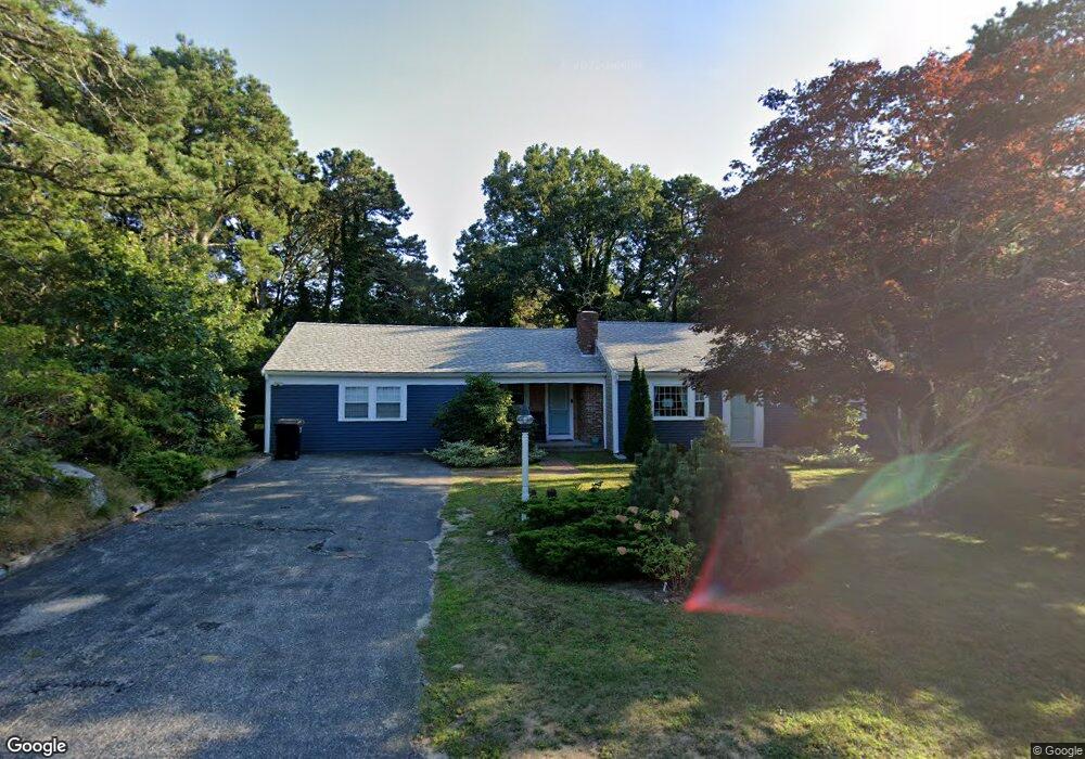
51 Longfellow Dr Yarmouth Port, MA 02675
Yarmouth Port NeighborhoodEstimated Value: $472,731 - $753,000
2
Beds
2
Baths
1,306
Sq Ft
$443/Sq Ft
Est. Value
About This Home
This home is located at 51 Longfellow Dr, Yarmouth Port, MA 02675 and is currently estimated at $578,933, approximately $443 per square foot. 51 Longfellow Dr is a home located in Barnstable County with nearby schools including Dennis-Yarmouth Regional High School.
Ownership History
Date
Name
Owned For
Owner Type
Purchase Details
Closed on
Jan 3, 2021
Sold by
Mead Mary L
Bought by
Dwyer Amy B
Current Estimated Value
Home Financials for this Owner
Home Financials are based on the most recent Mortgage that was taken out on this home.
Original Mortgage
$247,500
Outstanding Balance
$220,895
Interest Rate
2.71%
Mortgage Type
Purchase Money Mortgage
Estimated Equity
$358,038
Purchase Details
Closed on
Jun 17, 1999
Sold by
Whalen Judith
Bought by
Mead Mary L
Create a Home Valuation Report for This Property
The Home Valuation Report is an in-depth analysis detailing your home's value as well as a comparison with similar homes in the area
Home Values in the Area
Average Home Value in this Area
Purchase History
| Date | Buyer | Sale Price | Title Company |
|---|---|---|---|
| Dwyer Amy B | $275,000 | Metropolitan Title Agency | |
| Mead Mary L | $142,500 | -- |
Source: Public Records
Mortgage History
| Date | Status | Borrower | Loan Amount |
|---|---|---|---|
| Open | Dwyer Amy B | $247,500 |
Source: Public Records
Tax History Compared to Growth
Tax History
| Year | Tax Paid | Tax Assessment Tax Assessment Total Assessment is a certain percentage of the fair market value that is determined by local assessors to be the total taxable value of land and additions on the property. | Land | Improvement |
|---|---|---|---|---|
| 2025 | $2,945 | $416,000 | $168,300 | $247,700 |
| 2024 | $2,759 | $373,800 | $146,400 | $227,400 |
| 2023 | $2,553 | $314,800 | $133,100 | $181,700 |
| 2022 | $3,021 | $329,100 | $126,900 | $202,200 |
| 2021 | $2,850 | $298,100 | $126,900 | $171,200 |
| 2020 | $2,868 | $286,800 | $134,300 | $152,500 |
| 2019 | $2,671 | $264,500 | $134,300 | $130,200 |
| 2018 | $2,491 | $242,100 | $111,900 | $130,200 |
| 2017 | $2,426 | $242,100 | $111,900 | $130,200 |
| 2016 | $2,326 | $233,100 | $102,900 | $130,200 |
| 2015 | $2,352 | $234,300 | $98,500 | $135,800 |
Source: Public Records
Map
Nearby Homes
- 51 Bray Farm Rd N
- 59 Massachusetts 6a Unit 19-2
- 59 Main St Unit 19-2
- 59 Route 6a Unit 29-4
- 42 John Hall Cartway Unit 42
- 64 Kates Path
- 50 John Hall Cartway
- 50 John Hall Cartway Unit 50
- 268 Main St
- 228 Kates Path
- 34 Kates Path
- 34 Kates Path Unit 34
- 6 Nimble Hill Dr
- 44 Stratford Ln
- 17 Kates Path Unit A
- 43 Canterbury Rd
- 7 Forest Gate Unit 7
- 30 W Woods
- 30 W Woods Cir Unit 30
- 25 Oak Glen Village Unit 25
- 35 Campion Rd
- 57 Longfellow Dr
- 43 Longfellow Dr
- 32 Campion Rd
- 50 Longfellow Dr
- 31 Campion Rd
- 37 Longfellow Dr
- 42 Longfellow Dr
- 56 Longfellow Dr
- 70 Longfellow Dr
- 28 Campion Rd
- 63 Longfellow Dr
- 10 Lilac Ln
- 28 Bayridge Dr
- 27 Bayridge Dr
- 25 Campion Rd
- 41 Hillcrest Rd
- 35 Hillcrest Rd
- 31 Longfellow Dr
- 76 Longfellow Dr