51 Lunt Rd Brunswick, ME 04011
Estimated Value: $375,000 - $447,552
3
Beds
1
Bath
1,365
Sq Ft
$311/Sq Ft
Est. Value
About This Home
This home is located at 51 Lunt Rd, Brunswick, ME 04011 and is currently estimated at $424,388, approximately $310 per square foot. 51 Lunt Rd is a home located in Cumberland County with nearby schools including Priest Elementary-Middle School, Kate Furbish Elementary School, and Brunswick Jr High School.
Ownership History
Date
Name
Owned For
Owner Type
Purchase Details
Closed on
Jun 27, 2017
Sold by
Kingdom First Properties
Bought by
Grenier Estrella A and Grenier Lionel J
Current Estimated Value
Purchase Details
Closed on
Apr 12, 2017
Sold by
Deutsche Bk Natl T Co Tr
Bought by
Kingdom First Properties
Purchase Details
Closed on
Dec 13, 2016
Sold by
Deutsche Bk Natl T Co Tr
Bought by
Deutsche Bk Natl T Co Tr
Create a Home Valuation Report for This Property
The Home Valuation Report is an in-depth analysis detailing your home's value as well as a comparison with similar homes in the area
Home Values in the Area
Average Home Value in this Area
Purchase History
| Date | Buyer | Sale Price | Title Company |
|---|---|---|---|
| Grenier Estrella A | -- | -- | |
| Kingdom First Properties | $24,500 | -- | |
| Deutsche Bk Natl T Co Tr | -- | -- |
Source: Public Records
Tax History Compared to Growth
Tax History
| Year | Tax Paid | Tax Assessment Tax Assessment Total Assessment is a certain percentage of the fair market value that is determined by local assessors to be the total taxable value of land and additions on the property. | Land | Improvement |
|---|---|---|---|---|
| 2024 | $4,560 | $191,200 | $56,500 | $134,700 |
| 2023 | $4,453 | $191,200 | $56,500 | $134,700 |
| 2022 | $3,948 | $182,000 | $56,500 | $125,500 |
| 2021 | $3,734 | $179,000 | $56,500 | $122,500 |
| 2020 | $3,646 | $179,000 | $56,500 | $122,500 |
| 2019 | $3,431 | $174,000 | $51,500 | $122,500 |
| 2018 | $3,032 | $174,000 | $51,500 | $122,500 |
| 2017 | $3,298 | $174,000 | $51,500 | $122,500 |
| 2016 | $3,085 | $105,100 | $38,600 | $66,500 |
| 2015 | $2,981 | $105,100 | $38,600 | $66,500 |
| 2014 | $2,688 | $105,100 | $38,600 | $66,500 |
| 2013 | -- | $105,100 | $38,600 | $66,500 |
Source: Public Records
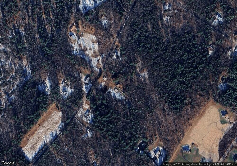
Map
Nearby Homes
- 43 Rose Douglas Ln
- Lot 9 Little Fawn Ln
- 12 Peter Robin Way
- 32 Grant Rd
- 144 Moody Rd
- Lot 8 Crossman Dr
- Lot 5 Crossman Dr
- 42A Wardtown Rd
- 12 Braley Way
- 006-114 Old Brunswick Rd
- 20 Rocky Hill Dr
- 1595 U S Route 1
- 42 Greystone Ln
- 42 Greystone Ln
- 52 Shiloh Rd
- 31 Allen Range Rd
- 16 Harlie Woods Rd
- 0 Prout Rd
- 143 Bragdon Rd
- 137 Durham Rd