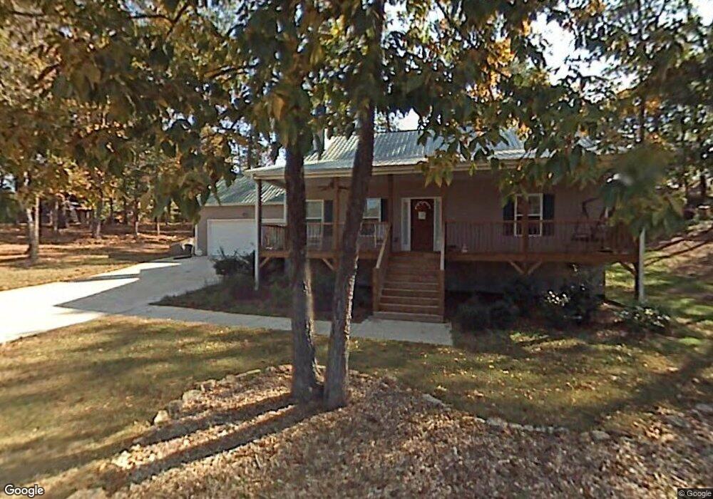
51 Mckay Dr SE Cartersville, GA 30121
Estimated Value: $287,000 - $300,000
3
Beds
2
Baths
1,568
Sq Ft
$186/Sq Ft
Est. Value
About This Home
This home is located at 51 Mckay Dr SE, Cartersville, GA 30121 and is currently estimated at $291,702, approximately $186 per square foot. 51 Mckay Dr SE is a home located in Bartow County with nearby schools including Kingston Elementary School, Cass Middle School, and Cass High School.
Ownership History
Date
Name
Owned For
Owner Type
Purchase Details
Closed on
Feb 12, 2018
Sold by
Chamlee David
Bought by
Chamlee David and Waynick Kimberly A
Current Estimated Value
Home Financials for this Owner
Home Financials are based on the most recent Mortgage that was taken out on this home.
Original Mortgage
$139,455
Outstanding Balance
$117,833
Interest Rate
3.99%
Mortgage Type
VA
Estimated Equity
$173,869
Create a Home Valuation Report for This Property
The Home Valuation Report is an in-depth analysis detailing your home's value as well as a comparison with similar homes in the area
Home Values in the Area
Average Home Value in this Area
Purchase History
| Date | Buyer | Sale Price | Title Company |
|---|---|---|---|
| Chamlee David | -- | -- | |
| Chamlee David | $135,000 | -- |
Source: Public Records
Mortgage History
| Date | Status | Borrower | Loan Amount |
|---|---|---|---|
| Open | Chamlee David | $139,455 |
Source: Public Records
Tax History Compared to Growth
Tax History
| Year | Tax Paid | Tax Assessment Tax Assessment Total Assessment is a certain percentage of the fair market value that is determined by local assessors to be the total taxable value of land and additions on the property. | Land | Improvement |
|---|---|---|---|---|
| 2024 | $2,030 | $106,462 | $18,000 | $88,462 |
| 2023 | $2,030 | $101,432 | $18,000 | $83,432 |
| 2022 | $2,409 | $101,432 | $18,000 | $83,432 |
| 2021 | $1,750 | $72,192 | $16,000 | $56,192 |
| 2020 | $1,791 | $70,192 | $14,000 | $56,192 |
| 2019 | $1,360 | $58,246 | $10,000 | $48,246 |
| 2018 | $1,529 | $54,896 | $7,200 | $47,696 |
| 2017 | $1,537 | $54,896 | $7,200 | $47,696 |
| 2016 | $1,528 | $54,160 | $7,200 | $46,960 |
| 2015 | $1,463 | $51,760 | $4,800 | $46,960 |
| 2014 | $1,087 | $37,240 | $4,000 | $33,240 |
| 2013 | -- | $36,760 | $4,000 | $32,760 |
Source: Public Records
Map
Nearby Homes
- 70 Baker Rd SE
- 354 Oakridge Dr SE
- 30 Amberidge Dr NW
- 383 Oakridge Dr SE
- 1771 Joe Frank Harris Pkwy SE
- 11 Meadow View Cir
- 104 Amberidge Dr NW
- 109 Amberidge Dr NW
- 4 Shallowood Place
- 40 Bishop Mill Dr NW
- 217 Eva Way NE
- 0 Joe Frank Harris Pkwy SE Unit 7284313
- 261 Jordan Rd SE
- 602 Grassdale Rd
- 46 Mac Johnson Rd NW
- 0 Mac Johnson Rd NW Unit 7616934
- 15 Home Place Dr
- 177 Floral Dr SE
- 167 Floral Dr SE
- 62 Baker Rd SE
- 45 Mckay Dr SE
- 189 Floral Dr SE
- 159 Floral Dr SE
- 195 Floral Dr SE
- 168 Floral Dr SE
- 188 Floral Dr SE
- 76 Baker Rd SE
- 201 Floral Dr SE
- 63 Baker Rd SE
- 59 Baker Rd SE
- 160 Floral Dr SE
- 67 Baker Rd SE
- 59 Baker Rd SE
- 145 Floral Dr SE
- 196 Floral Dr SE
- 55 Baker Rd SE
- 71 Baker Rd SE