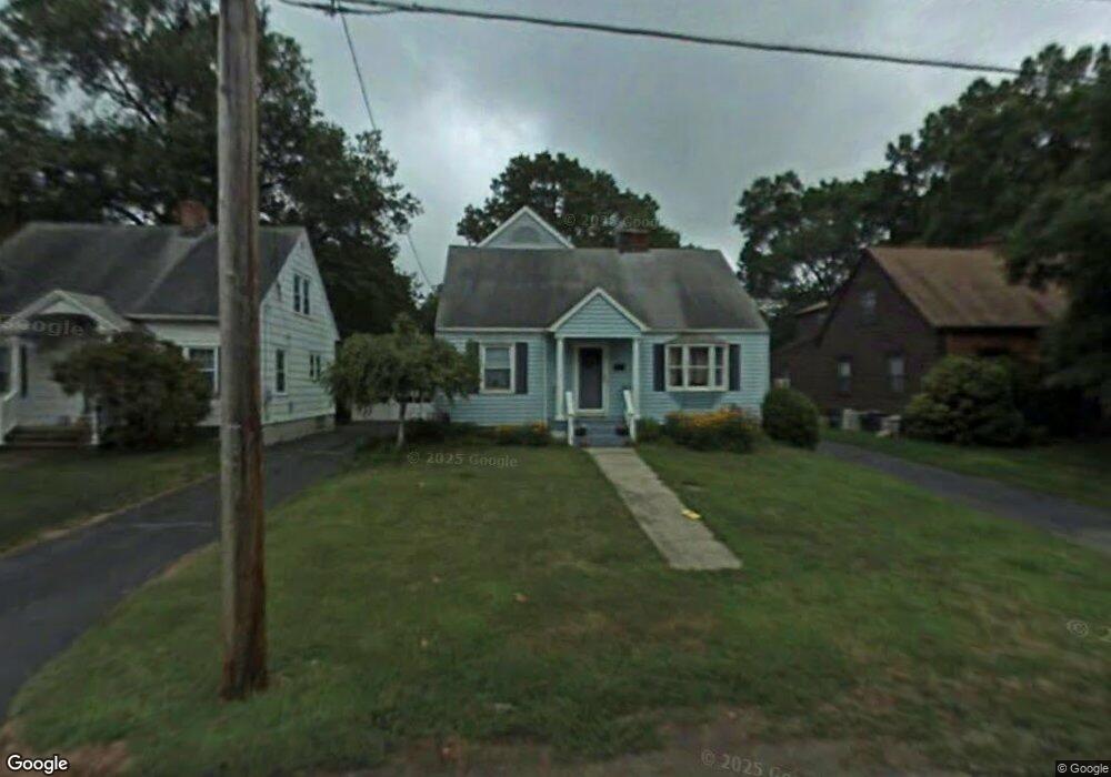
51 Mercer St Stratford, CT 06614
Estimated Value: $464,000 - $588,000
3
Beds
2
Baths
1,486
Sq Ft
$344/Sq Ft
Est. Value
About This Home
This home is located at 51 Mercer St, Stratford, CT 06614 and is currently estimated at $510,924, approximately $343 per square foot. 51 Mercer St is a home located in Fairfield County with nearby schools including Nichols Elementary School, David Wooster Middle School, and Stratford High School.
Ownership History
Date
Name
Owned For
Owner Type
Purchase Details
Closed on
Nov 1, 1996
Sold by
Salce Debra and Salce Paul
Bought by
Michels Leigh B and Michels Edward J
Current Estimated Value
Home Financials for this Owner
Home Financials are based on the most recent Mortgage that was taken out on this home.
Original Mortgage
$158,850
Interest Rate
4%
Mortgage Type
Unknown
Purchase Details
Closed on
May 6, 1991
Sold by
Maclannan Gordon
Bought by
Sake Paul and Maclannan Debra
Create a Home Valuation Report for This Property
The Home Valuation Report is an in-depth analysis detailing your home's value as well as a comparison with similar homes in the area
Home Values in the Area
Average Home Value in this Area
Purchase History
| Date | Buyer | Sale Price | Title Company |
|---|---|---|---|
| Michels Leigh B | $176,500 | -- | |
| Sake Paul | $130,000 | -- |
Source: Public Records
Mortgage History
| Date | Status | Borrower | Loan Amount |
|---|---|---|---|
| Open | Sake Paul | $205,000 | |
| Closed | Sake Paul | $192,000 | |
| Closed | Sake Paul | $166,400 | |
| Closed | Sake Paul | $158,850 |
Source: Public Records
Tax History Compared to Growth
Tax History
| Year | Tax Paid | Tax Assessment Tax Assessment Total Assessment is a certain percentage of the fair market value that is determined by local assessors to be the total taxable value of land and additions on the property. | Land | Improvement |
|---|---|---|---|---|
| 2025 | $8,493 | $211,260 | $110,040 | $101,220 |
| 2024 | $8,493 | $211,260 | $110,040 | $101,220 |
| 2023 | $8,493 | $211,260 | $110,040 | $101,220 |
| 2022 | $8,336 | $211,260 | $110,040 | $101,220 |
| 2021 | $8,338 | $211,260 | $110,040 | $101,220 |
| 2020 | $8,374 | $211,260 | $110,040 | $101,220 |
| 2019 | $7,505 | $188,230 | $87,290 | $100,940 |
| 2018 | $7,510 | $188,230 | $87,290 | $100,940 |
| 2017 | $7,524 | $188,230 | $87,290 | $100,940 |
| 2016 | $7,339 | $188,230 | $87,290 | $100,940 |
| 2015 | $6,961 | $188,230 | $87,290 | $100,940 |
| 2014 | $6,672 | $187,250 | $93,100 | $94,150 |
Source: Public Records
Map
Nearby Homes
- 90 Mercer St
- 309 Freeman Ave
- 810 Nichols Ave
- 55 Woodcrest Ave
- 195 Lobdell Dr
- 217 Huntington Rd
- 125 Andrew St
- 702 King St
- 150 San Gabriel Ave
- 125 Meadowbrook Rd
- 140 Spring St
- 24 Brewster St
- 145 Wiebe Ave
- 39 Parkway Dr
- 114 Terrill Rd
- 290 Hollywood Ave
- 58 Auburn St
- 123 Klondike St
- 130 Marina Dr
- 25 Glenwood Ave