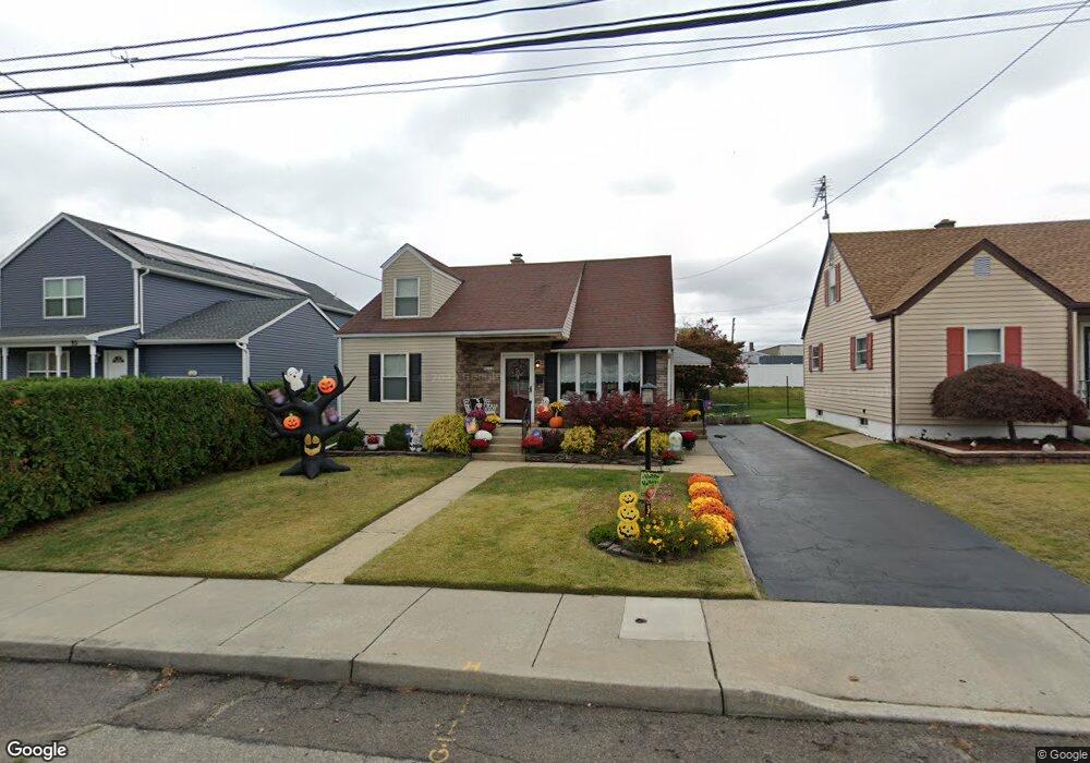
51 Meredith Rd Trenton, NJ 08610
Estimated Value: $329,485 - $412,000
--
Bed
--
Bath
1,604
Sq Ft
$241/Sq Ft
Est. Value
About This Home
This home is located at 51 Meredith Rd, Trenton, NJ 08610 and is currently estimated at $386,371, approximately $240 per square foot. 51 Meredith Rd is a home located in Mercer County with nearby schools including Robinson Elementary School, Albert E. Grice Middle School, and Hamilton West-Watson High School.
Ownership History
Date
Name
Owned For
Owner Type
Purchase Details
Closed on
Jul 26, 1995
Sold by
Kite Kenneth
Bought by
Benitez Wilfredo and Benitez Carmen
Current Estimated Value
Home Financials for this Owner
Home Financials are based on the most recent Mortgage that was taken out on this home.
Original Mortgage
$125,000
Interest Rate
7.56%
Mortgage Type
FHA
Create a Home Valuation Report for This Property
The Home Valuation Report is an in-depth analysis detailing your home's value as well as a comparison with similar homes in the area
Home Values in the Area
Average Home Value in this Area
Purchase History
| Date | Buyer | Sale Price | Title Company |
|---|---|---|---|
| Benitez Wilfredo | $125,000 | -- |
Source: Public Records
Mortgage History
| Date | Status | Borrower | Loan Amount |
|---|---|---|---|
| Closed | Benitez Wilfredo | $125,000 |
Source: Public Records
Tax History Compared to Growth
Tax History
| Year | Tax Paid | Tax Assessment Tax Assessment Total Assessment is a certain percentage of the fair market value that is determined by local assessors to be the total taxable value of land and additions on the property. | Land | Improvement |
|---|---|---|---|---|
| 2025 | $6,424 | $182,300 | $48,600 | $133,700 |
| 2024 | $6,021 | $182,300 | $48,600 | $133,700 |
| 2023 | $6,021 | $182,300 | $48,600 | $133,700 |
| 2022 | $5,927 | $182,300 | $48,600 | $133,700 |
| 2021 | $7,352 | $182,300 | $48,600 | $133,700 |
| 2020 | $6,696 | $182,300 | $48,600 | $133,700 |
| 2019 | $6,499 | $182,300 | $48,600 | $133,700 |
| 2018 | $6,450 | $182,300 | $48,600 | $133,700 |
| 2017 | $6,111 | $182,300 | $48,600 | $133,700 |
| 2016 | $4,929 | $182,300 | $48,600 | $133,700 |
| 2015 | $6,792 | $129,900 | $35,600 | $94,300 |
| 2014 | $6,652 | $129,900 | $35,600 | $94,300 |
Source: Public Records
Map
Nearby Homes
- 28 Thropp Ave
- 29 Oregon Ave
- 156 Maddock Ave
- 158 Churchill Ave
- 71 Homestead Ave
- 204 Thropp Ave
- 234 Thropp Ave
- 7 Alfred Ave
- 1762 Exton Ave
- 164 Lillian Ave
- 2325 S Broad St
- 1773 W Mcgalliard Ave
- 525 Lafayette Ave
- 316 W Park Ave
- 1782 Orchard Ave
- 14 James Cubberly Ct
- 27 Westcott Ave
- 1942 E Mcgalliard Ave
- 250 Lacy Ave
- 95 Knapp Ave