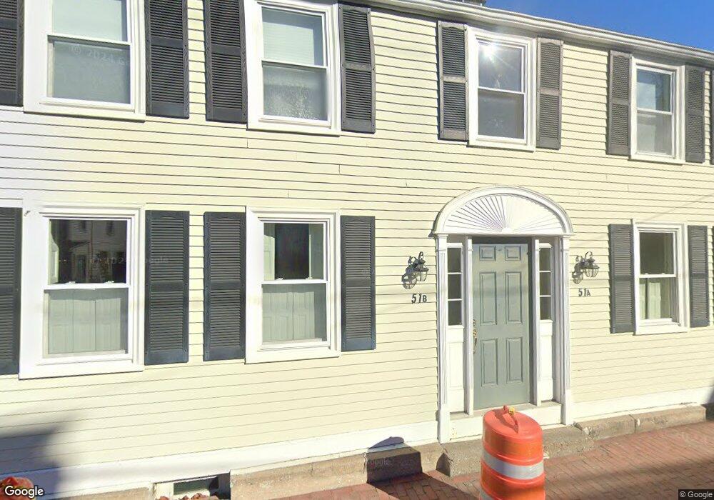
51 Middle St Unit A Newburyport, MA 01950
Estimated Value: $637,000 - $824,000
2
Beds
2
Baths
1,336
Sq Ft
$548/Sq Ft
Est. Value
About This Home
This home is located at 51 Middle St Unit A, Newburyport, MA 01950 and is currently estimated at $732,010, approximately $547 per square foot. 51 Middle St Unit A is a home located in Essex County with nearby schools including Francis T. Bresnahan Elementary School, Edward G. Molin Elementary School, and Rupert A. Nock Middle School.
Ownership History
Date
Name
Owned For
Owner Type
Purchase Details
Closed on
Mar 29, 2022
Sold by
Freed David H and Freed Diane R
Bought by
David Hillis Freed Ft
Current Estimated Value
Purchase Details
Closed on
May 25, 2012
Sold by
Mcdermet Marie E and Anderson Tina
Bought by
Freed David H and Freed Diane R
Home Financials for this Owner
Home Financials are based on the most recent Mortgage that was taken out on this home.
Original Mortgage
$284,100
Interest Rate
3.88%
Mortgage Type
New Conventional
Purchase Details
Closed on
Sep 23, 1999
Sold by
Two & Four Nt and Rymsha Robert A
Bought by
Scott Priscilla E
Home Financials for this Owner
Home Financials are based on the most recent Mortgage that was taken out on this home.
Original Mortgage
$45,000
Interest Rate
8.1%
Mortgage Type
Purchase Money Mortgage
Create a Home Valuation Report for This Property
The Home Valuation Report is an in-depth analysis detailing your home's value as well as a comparison with similar homes in the area
Home Values in the Area
Average Home Value in this Area
Purchase History
| Date | Buyer | Sale Price | Title Company |
|---|---|---|---|
| David Hillis Freed Ft | -- | None Available | |
| Freed David H | $355,100 | -- | |
| Scott Priscilla E | $145,000 | -- |
Source: Public Records
Mortgage History
| Date | Status | Borrower | Loan Amount |
|---|---|---|---|
| Previous Owner | Scott Priscilla E | $284,100 | |
| Previous Owner | Scott Priscilla E | $45,000 |
Source: Public Records
Tax History Compared to Growth
Tax History
| Year | Tax Paid | Tax Assessment Tax Assessment Total Assessment is a certain percentage of the fair market value that is determined by local assessors to be the total taxable value of land and additions on the property. | Land | Improvement |
|---|---|---|---|---|
| 2025 | $5,838 | $609,400 | $0 | $609,400 |
| 2024 | $6,052 | $607,000 | $0 | $607,000 |
| 2023 | $6,025 | $561,000 | $0 | $561,000 |
| 2022 | $5,876 | $489,300 | $0 | $489,300 |
| 2021 | $5,836 | $461,700 | $0 | $461,700 |
| 2020 | $6,138 | $478,000 | $0 | $478,000 |
| 2019 | $5,923 | $452,800 | $0 | $452,800 |
| 2018 | $5,824 | $439,200 | $0 | $439,200 |
| 2017 | $4,650 | $345,700 | $0 | $345,700 |
| 2016 | $4,060 | $303,200 | $0 | $303,200 |
| 2015 | $3,866 | $289,800 | $0 | $289,800 |
Source: Public Records
Map
Nearby Homes
- 42 Federal St Unit B
- 11 Orange St Unit 2
- 11 Charter St
- 30-32 Water St Unit 4
- 10 10th St
- 58 Lime St Unit 5
- 57 Lime St Unit 1
- 105 State St Unit 301
- 105 State St Unit 101
- 105 State St Unit 201
- 95 High St Unit 4
- 95 High St Unit 1
- 58 Merrimac St Unit 2-5
- 166 Water St Unit B
- 164 Water St Unit A
- 2 Court St Unit 4
- 1 Hill St
- 1 Hill St Unit 1
- 175 Bridge Rd
- 126 Merrimac St Unit 47
- 51A Middle St
- 44 Liberty St
- 51 Middle St Unit B
- 51A Middle St Unit A
- 49 Middle St
- 49 Middle St Unit 3 2
- 46 Liberty St
- 48 Liberty St
- 48 Liberty St Unit F
- 53 Middle St
- 13 Liberty St
- 28 Fair St Unit A
- 28 Fair St Unit 1
- 28 Fair St Unit 4
- 28 Fair St Unit 3
- 62 Middle St
- 21 Fair St
- 57 Middle St
- 45 Liberty St
- 49 Liberty St