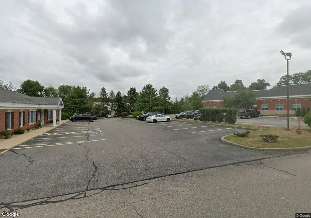
51 Mill St Unit 7 Hanover, MA 02339
Estimated Value: $703,747
--
Bed
--
Bath
1,000
Sq Ft
$704/Sq Ft
Est. Value
About This Home
This home is located at 51 Mill St Unit 7, Hanover, MA 02339 and is currently estimated at $703,747, approximately $703 per square foot. 51 Mill St Unit 7 is a home located in Plymouth County with nearby schools including Hanover High School, Cadence Academy Preschool - Hanover, and Norwell KinderCare.
Ownership History
Date
Name
Owned For
Owner Type
Purchase Details
Closed on
Aug 30, 2013
Sold by
Mill Street Rt
Bought by
Travel Duck Llc
Current Estimated Value
Home Financials for this Owner
Home Financials are based on the most recent Mortgage that was taken out on this home.
Original Mortgage
$310,000
Outstanding Balance
$231,332
Interest Rate
4.4%
Mortgage Type
Commercial
Estimated Equity
$472,415
Purchase Details
Closed on
Nov 1, 1990
Sold by
I M and Rt I
Bought by
Mill St Rt
Home Financials for this Owner
Home Financials are based on the most recent Mortgage that was taken out on this home.
Original Mortgage
$160,000
Interest Rate
10.07%
Mortgage Type
Commercial
Create a Home Valuation Report for This Property
The Home Valuation Report is an in-depth analysis detailing your home's value as well as a comparison with similar homes in the area
Home Values in the Area
Average Home Value in this Area
Purchase History
| Date | Buyer | Sale Price | Title Company |
|---|---|---|---|
| Travel Duck Llc | $310,000 | -- | |
| Mill St Rt | $173,000 | -- |
Source: Public Records
Mortgage History
| Date | Status | Borrower | Loan Amount |
|---|---|---|---|
| Open | Travel Duck Llc | $310,000 | |
| Previous Owner | Mill St Rt | $160,000 |
Source: Public Records
Tax History Compared to Growth
Tax History
| Year | Tax Paid | Tax Assessment Tax Assessment Total Assessment is a certain percentage of the fair market value that is determined by local assessors to be the total taxable value of land and additions on the property. | Land | Improvement |
|---|---|---|---|---|
| 2025 | $6,627 | $453,900 | $0 | $453,900 |
| 2024 | $6,105 | $453,900 | $0 | $453,900 |
| 2023 | $5,840 | $432,900 | $0 | $432,900 |
| 2022 | $5,953 | $373,200 | $0 | $373,200 |
| 2021 | $6,246 | $365,500 | $0 | $365,500 |
| 2020 | $5,375 | $314,900 | $0 | $314,900 |
| 2019 | $5,473 | $314,900 | $0 | $314,900 |
| 2018 | $5,357 | $314,200 | $0 | $314,200 |
| 2017 | $4,983 | $287,700 | $0 | $287,700 |
| 2016 | $5,144 | $287,700 | $0 | $287,700 |
| 2015 | $4,931 | $287,700 | $0 | $287,700 |
Source: Public Records
Map
Nearby Homes
- 11 Silver Brook Ln Unit 11
- 61 Deborah Rd
- 276 Woodland Dr
- 248 Larchmont Ln
- 8 Merritt Rd
- 43 Simmons Rd
- 114 Main St
- 14 Longwood Ln Unit 14
- 7 Assinippi Ave Unit 216
- 44 Stone Meadow Ln
- 205 Pleasant St
- 118 Bates Way
- 1239 Main St
- 239 Candlewood Ln
- 116 Spring Meadow Ln
- 198 Pine St
- 301 Pine St
- 451 Main St
- 80 Coolidge Rd
- 225 Prospect St
- 51 Mill St Unit 15
- 51 Mill St Unit 2
- 51 Mill St Unit 9
- 51 Mill St Unit 12
- 51 Mill St Unit F
- 51 Mill St Unit 5
- 51 Mill St Unit 1
- 51 Mill St Unit 19
- 51 Mill St Unit 24
- 51 Mill St
- 51 Mill St Unit 8
- 1245 Washington St
- 1207 Washington St
- 1202 Washington St
- LOT 1 Webster St
- LOT 3 Forest St
- LOT 17 Cushing Hill Rd
- 5 Tower Hill Dr
- 1165 Washington St
- 65 Franks Ln