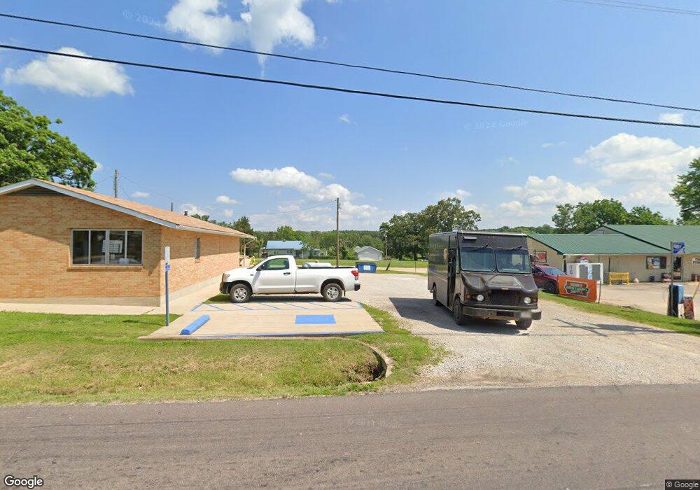
51 Mountain View Ln Ellsinore, MO 63937
Estimated Value: $125,019 - $231,000
3
Beds
--
Bath
1,680
Sq Ft
$98/Sq Ft
Est. Value
About This Home
This home is located at 51 Mountain View Ln, Ellsinore, MO 63937 and is currently estimated at $165,006, approximately $98 per square foot. 51 Mountain View Ln is a home located in Butler County with nearby schools including East Carter County R-II Elementary School, East Carter County R-II Middle School, and East Carter County R-II High School.
Ownership History
Date
Name
Owned For
Owner Type
Purchase Details
Closed on
Jul 7, 2017
Sold by
Perryman Gary L and Perryman Sallie Laquita
Bought by
Billington Stephen L and Billington Penny L
Current Estimated Value
Home Financials for this Owner
Home Financials are based on the most recent Mortgage that was taken out on this home.
Original Mortgage
$60,000
Outstanding Balance
$49,932
Interest Rate
3.95%
Mortgage Type
Commercial
Estimated Equity
$115,074
Create a Home Valuation Report for This Property
The Home Valuation Report is an in-depth analysis detailing your home's value as well as a comparison with similar homes in the area
Purchase History
| Date | Buyer | Sale Price | Title Company |
|---|---|---|---|
| Billington Stephen L | -- | None Available |
Source: Public Records
Mortgage History
| Date | Status | Borrower | Loan Amount |
|---|---|---|---|
| Open | Billington Stephen L | $60,000 |
Source: Public Records
Tax History
| Year | Tax Paid | Tax Assessment Tax Assessment Total Assessment is a certain percentage of the fair market value that is determined by local assessors to be the total taxable value of land and additions on the property. | Land | Improvement |
|---|---|---|---|---|
| 2024 | $7 | $19,350 | $0 | $0 |
| 2023 | $590 | $16,500 | $0 | $0 |
| 2022 | $572 | $16,010 | $0 | $0 |
| 2021 | $573 | $16,010 | $0 | $0 |
| 2020 | $554 | $15,320 | $0 | $0 |
| 2019 | $553 | $15,320 | $0 | $0 |
| 2018 | $553 | $15,320 | $0 | $0 |
| 2017 | -- | $15,320 | $0 | $0 |
| 2016 | -- | $15,320 | $0 | $0 |
| 2015 | -- | $15,320 | $0 | $0 |
| 2014 | -- | $14,400 | $0 | $0 |
| 2012 | $523 | $14,400 | $0 | $0 |
Source: Public Records
Map
Nearby Homes
- 237 County Road 418
- TBD E W County Road 418
- 2751 Carter Route B
- 1790 Carter 327
- 31955 Us Highway 60
- 109 Lanee Ln
- TBD County Road 426
- Tbd County Road 426
- 900 Private 417-38 Rd
- 0 Carter Route 266 Unit MAR24069627
- 698 Hoot Owl Ln
- 410 Orchard St
- 10576 Highway Pp
- 1205 Cemetery Ln
- 202 Mount Ash Ln
- 00 Rabbit Run Rd
- 0 Wayne 443 Unit MIS25081465
- 9711 Highway Pp
- 0 Long Rd Unit 23015373
- 139 County Road 425
- 111 County Road 417
- 27 Carter 370
- 2042 Carter Route Dd Unit 19069007
- 31 Carter 370
- 63 Carter 370
- 31 Carter 370 Unit 9939429
- 403 County Road 417
- 495 Cr 4171
- 490 Cr 4171
- 499 Cr 4171
- 499 County Road 4171
- 948 County Road 417
- 275 County Road 4171
- 3157 County Road 415
- 3332 County Road 415
- 2878 Cr 415
- 3349 County Road 415
- 0 Cr 4171 Unit 19088156
- 0 Cr 4171 Unit 19043583
- 3473 County Road 415
