51 None Such Way Weston, MA 02493
Estimated Value: $833,140
3
Beds
2
Baths
2,066
Sq Ft
$403/Sq Ft
Est. Value
About This Home
This home is located at 51 None Such Way, Weston, MA 02493 and is currently estimated at $833,140, approximately $403 per square foot. 51 None Such Way is a home located in Middlesex County with nearby schools including Country Elementary School, Woodland Elementary School, and Weston Middle School.
Ownership History
Date
Name
Owned For
Owner Type
Purchase Details
Closed on
Sep 11, 2014
Sold by
Cook Elaine J
Bought by
Rivers School Corp
Current Estimated Value
Purchase Details
Closed on
Dec 20, 1991
Sold by
Schl Rivers Cntry Day
Bought by
Cook Donald W and Cook Elaine J
Home Financials for this Owner
Home Financials are based on the most recent Mortgage that was taken out on this home.
Original Mortgage
$82,500
Interest Rate
8.68%
Mortgage Type
Purchase Money Mortgage
Create a Home Valuation Report for This Property
The Home Valuation Report is an in-depth analysis detailing your home's value as well as a comparison with similar homes in the area
Home Values in the Area
Average Home Value in this Area
Purchase History
| Date | Buyer | Sale Price | Title Company |
|---|---|---|---|
| Rivers School Corp | $412,500 | -- | |
| Cook Donald W | $132,500 | -- |
Source: Public Records
Mortgage History
| Date | Status | Borrower | Loan Amount |
|---|---|---|---|
| Previous Owner | Cook Donald W | $25,000 | |
| Previous Owner | Cook Donald W | $82,500 |
Source: Public Records
Tax History Compared to Growth
Tax History
| Year | Tax Paid | Tax Assessment Tax Assessment Total Assessment is a certain percentage of the fair market value that is determined by local assessors to be the total taxable value of land and additions on the property. | Land | Improvement |
|---|---|---|---|---|
| 2025 | -- | $940,200 | $576,800 | $363,400 |
| 2024 | -- | $918,900 | $576,800 | $342,100 |
| 2023 | $0 | $818,100 | $524,500 | $293,600 |
| 2022 | $0 | $799,400 | $552,500 | $246,900 |
| 2021 | $0 | $721,700 | $485,900 | $235,800 |
| 2020 | $0 | $705,900 | $485,900 | $220,000 |
| 2019 | $0 | $705,900 | $485,900 | $220,000 |
| 2018 | $9,426 | $659,600 | $439,600 | $220,000 |
| 2017 | $7,087 | $659,600 | $439,600 | $220,000 |
| 2016 | $7,087 | $659,600 | $439,600 | $220,000 |
| 2015 | $7,087 | $577,100 | $363,600 | $213,500 |
Source: Public Records
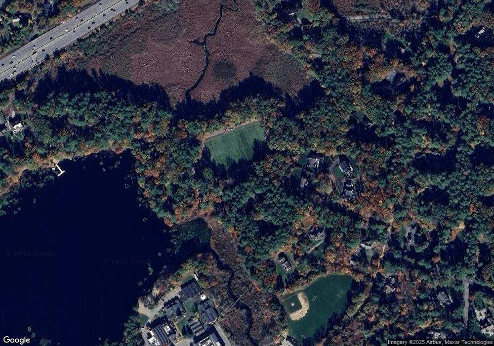
Map
Nearby Homes
- 22 Fox Hill Dr
- 6 Steepletree Ln
- 12 Nancy Rd
- 19 Northgate Rd
- 12 Cutting Cross Way
- 620 South Ave
- 8 Oakdale Ave
- 45 Mayo Rd
- 3 Sunnyside Ave
- 30 Colby Rd
- 120 Rockport Rd
- 1 Winter St
- 428 Weston Rd
- 51 Boulder Brook Rd
- 16 Peterson Rd
- 125 Woodridge Rd
- 8 Fox Hollow
- 57 Beverly Rd
- 606 Wisteria Way
- 46 Royalston Rd
- 41 None Such Way
- 44 None Such Way
- 56 None Such Way
- 56 None Such Way Unit 56
- 31 None Such Way
- 7 Stone Ridge Ln
- 5 Stone Ridge Ln
- 21 None Such Way
- 275 Winter St
- 15 None Such Way
- 1 Stone Ridge Ln
- 257 Winter St
- 285 Winter St
- 231 Winter St
- 265 Winter St
- 3 Stone Ridge Ln
- 225 Winter St
- 245 Winter St
- 245 Winter St Unit 1
- 245 Winter St Unit 245