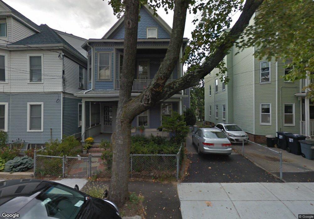
51 Norris St Unit 53 Cambridge, MA 02140
North Cambridge NeighborhoodEstimated Value: $1,734,000 - $1,856,000
6
Beds
3
Baths
2,936
Sq Ft
$610/Sq Ft
Est. Value
About This Home
This home is located at 51 Norris St Unit 53, Cambridge, MA 02140 and is currently estimated at $1,791,579, approximately $610 per square foot. 51 Norris St Unit 53 is a home located in Middlesex County with nearby schools including Benjamin Banneker Charter Public School, Cambridge Friends School, and International School of Boston.
Ownership History
Date
Name
Owned For
Owner Type
Purchase Details
Closed on
Dec 19, 2024
Sold by
Fong Jeanne M
Bought by
Jeanne M Fong T M and Jeanne Fong
Current Estimated Value
Purchase Details
Closed on
Oct 2, 1992
Sold by
Est Harrington A Mabel and Harrington John
Bought by
Sheketoff Robert L and Fong Jeanne M
Create a Home Valuation Report for This Property
The Home Valuation Report is an in-depth analysis detailing your home's value as well as a comparison with similar homes in the area
Home Values in the Area
Average Home Value in this Area
Purchase History
| Date | Buyer | Sale Price | Title Company |
|---|---|---|---|
| Jeanne M Fong T M | -- | None Available | |
| Jeanne M Fong T M | -- | None Available | |
| Jeanne M Fong T M | -- | None Available | |
| Sheketoff Robert L | $232,000 | -- | |
| Sheketoff Robert L | $232,000 | -- |
Source: Public Records
Mortgage History
| Date | Status | Borrower | Loan Amount |
|---|---|---|---|
| Previous Owner | Sheketoff Robert L | $77,000 |
Source: Public Records
Tax History Compared to Growth
Tax History
| Year | Tax Paid | Tax Assessment Tax Assessment Total Assessment is a certain percentage of the fair market value that is determined by local assessors to be the total taxable value of land and additions on the property. | Land | Improvement |
|---|---|---|---|---|
| 2025 | $9,134 | $1,438,500 | $539,800 | $898,700 |
| 2024 | $8,458 | $1,428,700 | $563,900 | $864,800 |
| 2023 | $7,806 | $1,332,100 | $574,100 | $758,000 |
| 2022 | $7,438 | $1,256,500 | $572,500 | $684,000 |
| 2021 | $7,131 | $1,218,900 | $560,900 | $658,000 |
| 2020 | $6,864 | $1,193,800 | $548,500 | $645,300 |
| 2019 | $6,311 | $1,062,400 | $455,900 | $606,500 |
| 2018 | $5,825 | $926,100 | $383,900 | $542,200 |
| 2017 | $6,517 | $1,004,100 | $359,900 | $644,200 |
| 2016 | $6,378 | $912,500 | $312,000 | $600,500 |
| 2015 | $6,293 | $804,700 | $274,200 | $530,500 |
| 2014 | $5,970 | $712,400 | $240,000 | $472,400 |
Source: Public Records
Map
Nearby Homes
- 30 Dudley St
- 22 Harrington Rd
- 110 Reed St
- 179 Rindge Ave Unit 1
- 17 Shea Rd
- 183 Rindge Ave Unit 1
- 69 Harvey St Unit 1
- 2456 Massachusetts Ave Unit 402
- 32 Cameron Ave
- 127 Harvey St
- 127 Harvey St Unit 127
- 124 Jackson St
- 97 Elmwood St Unit 313
- 97 Elmwood St Unit 310
- 50 Howard St Unit 5
- 67-69 Cameron Ave
- 112 Jackson St
- 49 Clifton St
- 61 Cameron Ave
- 39 Seven Pines Ave
- 51 Norris St Unit 1
- 49 Norris St
- 49 Norris St Unit 1
- 47 Norris St Unit 3
- 47 Norris St Unit 2
- 57 Norris St
- 45 Norris St
- 48 Cedar St
- 48 Cedar St Unit A
- 43 Norris St
- 59 Norris St
- 59 Norris St Unit 2
- 46 Cedar St Unit 1
- 46 Cedar St
- 46 Cedar St
- 41 Norris St
- 52 Norris St
- 48 Norris St
- 48 Norris St Unit 1
- 50 Norris St