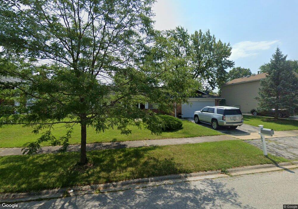
51 Pheasant Rd Matteson, IL 60443
West Matteson NeighborhoodEstimated Value: $168,000 - $220,000
About This Home
This home is located at 51 Pheasant Rd, Matteson, IL 60443 and is currently estimated at $196,146, approximately $141 per square foot. 51 Pheasant Rd is a home located in Cook County with nearby schools including Colin Powell Middle School.
Ownership History
We collect this data history from publicly available records. To have your information removed, we recommend requesting removal directly through your county’s website.
Purchase Details
Purchase Details
Home Financials for this Owner
Home Financials are based on the most recent Mortgage that was taken out on this home.Purchase Details
Home Values in the Area
Average Home Value in this Area
Purchase History
We collect this data history from publicly available records. To have your information removed, we recommend requesting removal directly through your county’s website.
| Date | Buyer | Sale Price | Title Company |
|---|---|---|---|
| $82,000 | Attorneys Title Guaranty Fun | ||
| -- | Chicago Title Insurance Co | ||
| -- | -- |
Mortgage History
We collect this data history from publicly available records. To have your information removed, we recommend requesting removal directly through your county’s website.
| Date | Status | Borrower | Loan Amount |
|---|---|---|---|
| Previous Owner | $64,000 |
Tax History
We collect this data history from publicly available records. To have your information removed, we recommend requesting removal directly through your county’s website.
| Year | Tax Paid | Tax Assessment Tax Assessment Total Assessment is a certain percentage of the fair market value that is determined by local assessors to be the total taxable value of land and additions on the property. | Land | Improvement |
|---|---|---|---|---|
| 2025 | $6,089 | $14,690 | $3,562 | $11,128 |
| 2024 | $6,089 | $14,690 | $3,562 | $11,128 |
| 2023 | $5,765 | $14,690 | $3,562 | $11,128 |
| 2022 | $5,765 | $10,768 | $3,117 | $7,651 |
| 2021 | $5,819 | $10,767 | $3,117 | $7,650 |
| 2020 | $6,382 | $12,221 | $3,117 | $9,104 |
| 2019 | $5,737 | $10,500 | $2,894 | $7,606 |
| 2018 | $5,653 | $10,500 | $2,894 | $7,606 |
| 2017 | $5,497 | $10,500 | $2,894 | $7,606 |
| 2016 | $4,693 | $9,069 | $2,671 | $6,398 |
| 2015 | $5,148 | $10,132 | $2,671 | $7,461 |
| 2014 | $5,009 | $10,132 | $2,671 | $7,461 |
| 2013 | $5,386 | $11,707 | $2,671 | $9,036 |
Map
- 124 Oriole Rd
- 115 Oriole Rd
- 25 Pheasant Rd
- 123 Oriole Rd
- 151 Oriole Rd
- 6005 Woodgate Dr
- 6128 Wedgewood Ct
- 72 White Oaks Rd
- 156 Cloverleaf Rd
- 5733 Woodgate Dr
- 52 Churn Rd Unit 311
- 103 Red Barn Rd Unit 416
- 232 Highland Rd
- 534 Quail Run Rd
- 130 Central Ave Unit 1194
- 161 Briarwood Ct Unit 2131
- 6037 Spring Ln
- 5620 Feathercreek Rd
- 301 Providence Dr
- 651 Central Ave
Ask me questions while you tour the home.