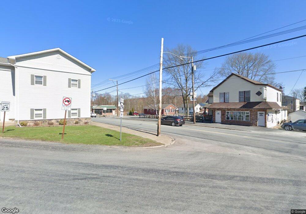
51 Po Box Lake Ariel, PA 18436
Estimated Value: $265,000 - $310,000
5
Beds
1
Bath
1,904
Sq Ft
$153/Sq Ft
Est. Value
About This Home
This home is located at 51 Po Box, Lake Ariel, PA 18436 and is currently estimated at $291,667, approximately $153 per square foot. 51 Po Box is a home located in Wayne County with nearby schools including Western Wayne High School and Canaan Christian Academy.
Ownership History
Date
Name
Owned For
Owner Type
Purchase Details
Closed on
Aug 8, 2018
Sold by
Seman Michael J and Seman Denise M
Bought by
James H Wilson Funerla Home Inc
Current Estimated Value
Home Financials for this Owner
Home Financials are based on the most recent Mortgage that was taken out on this home.
Original Mortgage
$125,000
Outstanding Balance
$76,304
Interest Rate
4.5%
Mortgage Type
Commercial
Estimated Equity
$215,363
Purchase Details
Closed on
May 11, 2017
Sold by
Rollison Denise M and Seman Denise M
Bought by
Seman Denise M and Seman Michael J
Purchase Details
Closed on
Apr 17, 2009
Sold by
Himka Helen
Bought by
James Mark Milton
Home Financials for this Owner
Home Financials are based on the most recent Mortgage that was taken out on this home.
Original Mortgage
$82,700
Interest Rate
5.19%
Mortgage Type
Purchase Money Mortgage
Purchase Details
Closed on
Jan 25, 2008
Sold by
Rollison Michael E
Bought by
Rollison Denise M
Create a Home Valuation Report for This Property
The Home Valuation Report is an in-depth analysis detailing your home's value as well as a comparison with similar homes in the area
Home Values in the Area
Average Home Value in this Area
Purchase History
| Date | Buyer | Sale Price | Title Company |
|---|---|---|---|
| James H Wilson Funerla Home Inc | $125,000 | None Available | |
| Seman Denise M | -- | None Available | |
| James Mark Milton | $72,000 | None Available | |
| Rollison Denise M | -- | None Available |
Source: Public Records
Mortgage History
| Date | Status | Borrower | Loan Amount |
|---|---|---|---|
| Open | James H Wilson Funerla Home Inc | $125,000 | |
| Previous Owner | James Mark Milton | $82,700 |
Source: Public Records
Tax History Compared to Growth
Tax History
| Year | Tax Paid | Tax Assessment Tax Assessment Total Assessment is a certain percentage of the fair market value that is determined by local assessors to be the total taxable value of land and additions on the property. | Land | Improvement |
|---|---|---|---|---|
| 2025 | $2,216 | $136,900 | $42,000 | $94,900 |
| 2024 | $2,106 | $136,900 | $42,000 | $94,900 |
| 2023 | $2,982 | $136,900 | $42,000 | $94,900 |
| 2022 | $2,465 | $104,600 | $21,500 | $83,100 |
| 2021 | $2,403 | $104,600 | $21,500 | $83,100 |
| 2020 | $2,377 | $104,600 | $21,500 | $83,100 |
| 2019 | $2,246 | $104,600 | $21,500 | $83,100 |
| 2018 | $2,232 | $104,600 | $21,500 | $83,100 |
| 2017 | $480 | $104,600 | $21,500 | $83,100 |
| 2016 | $2,162 | $104,600 | $21,500 | $83,100 |
| 2014 | -- | $104,600 | $21,500 | $83,100 |
Source: Public Records
Map
Nearby Homes
- 185 Gravity Rd
- 1325 Lake Ariel Hwy
- 297 E Shore Dr
- 0 Keystone Rd
- 33 (2349) Crest View Rd
- 45 Crest View Rd
- 11 Meadow View Dr
- 29 Tanglewood Ln
- 0 Fernwood Rd Unit 24188036
- 171 Ridgeview Dr
- 4 Avoy Heights Rd
- 152 Ridgeview Dr
- 100 Ridgeview Dr
- 139 Ridgeview Dr
- 0 Easton Turnpike Unit 755405
- 0 Easton Turnpike Unit PM-131115
- 1379 Woodview Terrace
- 28 Woodcrest Ln
- 1412 Woodview Terrace Unit 56
- 58 Forest Ln