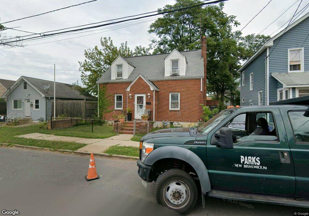
51 Powers St New Brunswick, NJ 08901
Estimated Value: $365,250 - $460,000
--
Bed
--
Bath
1,164
Sq Ft
$357/Sq Ft
Est. Value
About This Home
This home is located at 51 Powers St, New Brunswick, NJ 08901 and is currently estimated at $415,813, approximately $357 per square foot. 51 Powers St is a home located in Middlesex County with nearby schools including New Brunswick High School, Central Jersey College Prep Charter School, and St. Mary of Mount Virgin School.
Ownership History
Date
Name
Owned For
Owner Type
Purchase Details
Closed on
Aug 8, 2017
Sold by
Macaro Ferdinando and Vigilante Joann
Bought by
Smith Raymond and Smith Lynne
Current Estimated Value
Home Financials for this Owner
Home Financials are based on the most recent Mortgage that was taken out on this home.
Original Mortgage
$135,800
Outstanding Balance
$113,315
Interest Rate
3.96%
Mortgage Type
New Conventional
Estimated Equity
$302,498
Create a Home Valuation Report for This Property
The Home Valuation Report is an in-depth analysis detailing your home's value as well as a comparison with similar homes in the area
Home Values in the Area
Average Home Value in this Area
Purchase History
| Date | Buyer | Sale Price | Title Company |
|---|---|---|---|
| Smith Raymond | $140,000 | Vintage Title Services |
Source: Public Records
Mortgage History
| Date | Status | Borrower | Loan Amount |
|---|---|---|---|
| Open | Smith Raymond | $135,800 |
Source: Public Records
Tax History Compared to Growth
Tax History
| Year | Tax Paid | Tax Assessment Tax Assessment Total Assessment is a certain percentage of the fair market value that is determined by local assessors to be the total taxable value of land and additions on the property. | Land | Improvement |
|---|---|---|---|---|
| 2025 | $5,694 | $217,400 | $112,500 | $104,900 |
| 2024 | $5,528 | $217,400 | $112,500 | $104,900 |
| 2023 | $5,528 | $217,400 | $112,500 | $104,900 |
| 2022 | $5,411 | $217,400 | $112,500 | $104,900 |
| 2021 | $4,014 | $217,400 | $112,500 | $104,900 |
| 2020 | $5,370 | $217,400 | $112,500 | $104,900 |
| 2019 | $5,268 | $217,400 | $112,500 | $104,900 |
| 2018 | $5,148 | $217,400 | $112,500 | $104,900 |
| 2017 | $4,944 | $217,400 | $112,500 | $104,900 |
| 2016 | $6,681 | $113,900 | $33,800 | $80,100 |
| 2015 | $6,522 | $113,900 | $33,800 | $80,100 |
| 2014 | $6,406 | $113,900 | $33,800 | $80,100 |
Source: Public Records
Map
Nearby Homes
- 89 N Talmadge St
- 220 Paul Robeson Blvd
- 15 N Talmadge St
- 72 Comstock St
- 18 N Talmadge St
- 122 Lawrence St Unit 26
- 1224 Dogwood Ct
- 82 S Ward St
- 200 Talmadge St
- 158 Lee Ave
- 37 Hazelhurst St
- 128 Remsen Ave Unit A
- 128A Remsen Ave
- 122B Remsen Ave Unit A
- 122A Remsen Ave Unit A
- 44 S Ward St
- 97 Throop Ave
- 147 Rutgers St
- 146 Seaman St
- 80A Larch Ave