51 Rangeway Rd Dunbarton, NH 03046
Estimated Value: $495,000 - $646,000
About This Home
This home is located at 51 Rangeway Rd, Dunbarton, NH 03046 and is currently estimated at $566,346, approximately $274 per square foot. 51 Rangeway Rd is a home located in Merrimack County with nearby schools including Dunbarton Elementary School, Bow Memorial School, and Bow High School.
Ownership History
We collect this data history from publicly available records. To have your information removed, we recommend requesting removal directly through your county’s website.
Purchase Details
Purchase Details
Home Financials for this Owner
Home Financials are based on the most recent Mortgage that was taken out on this home.Home Values in the Area
Average Home Value in this Area
Purchase History
We collect this data history from publicly available records. To have your information removed, we recommend requesting removal directly through your county’s website.
| Date | Buyer | Sale Price | Title Company |
|---|---|---|---|
| $110,000 | -- | ||
| $79,000 | -- |
Mortgage History
We collect this data history from publicly available records. To have your information removed, we recommend requesting removal directly through your county’s website.
| Date | Status | Borrower | Loan Amount |
|---|---|---|---|
| Previous Owner | $40,000 |
Tax History
We collect this data history from publicly available records. To have your information removed, we recommend requesting removal directly through your county’s website.
| Year | Tax Paid | Tax Assessment Tax Assessment Total Assessment is a certain percentage of the fair market value that is determined by local assessors to be the total taxable value of land and additions on the property. | Land | Improvement |
|---|---|---|---|---|
| 2025 | $7,246 | $443,466 | $144,066 | $299,400 |
| 2024 | $6,481 | $245,662 | $78,162 | $167,500 |
| 2023 | $6,282 | $245,662 | $78,162 | $167,500 |
| 2022 | $5,645 | $245,662 | $78,162 | $167,500 |
| 2021 | $5,751 | $245,662 | $78,162 | $167,500 |
| 2020 | $5,474 | $245,674 | $78,174 | $167,500 |
| 2018 | $4,431 | $196,671 | $61,971 | $134,700 |
| 2017 | $5,036 | $196,658 | $61,958 | $134,700 |
| 2016 | $4,717 | $196,708 | $62,008 | $134,700 |
| 2015 | $4,639 | $196,646 | $61,946 | $134,700 |
| 2014 | $4,185 | $197,971 | $61,971 | $136,000 |
| 2013 | $4,160 | $198,024 | $62,024 | $136,000 |
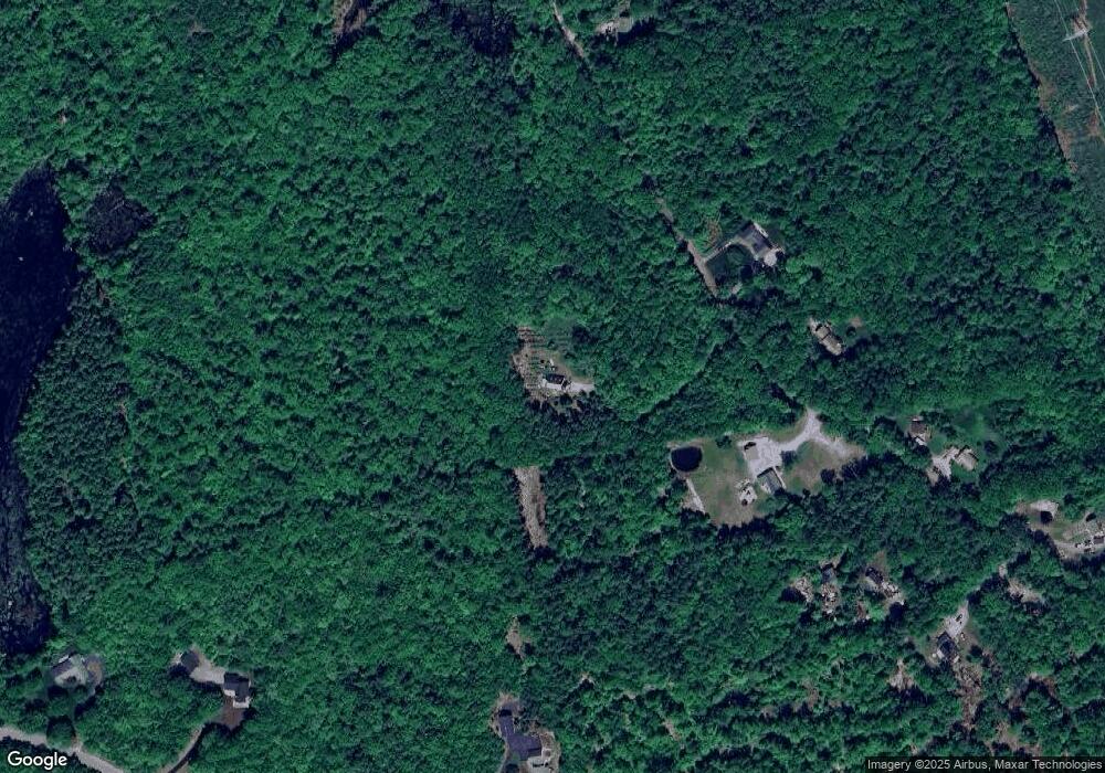
Map
- 20 Stark Hwy S
- 11 Stark Hwy N
- 75 Long Pond Rd
- 9 Audley Divide
- 22 Fairway Dr
- 18 Gorham Dr
- 43 Sterling Place
- 40 Dunbarton Center Rd
- 43 Snow Rd
- 87 Woodhill Rd
- 0 Brown Hill Rd Unit 5032600
- 12 S Bow Rd
- 1 Bona Vista Dr
- 6 Bona Vista Dr
- 20 Pinnacle Ln
- 250 Grapevine Rd
- 8 Longview Dr
- 43 Hampshire Hills Dr
- 145 Horizon Dr
- 14 Brown Hill Rd
- 0 Rangeway Rd Unit D4-01-02
- 109 Stark Hwy S
- 55 Rangeway Rd
- 40 Rangeway Rd
- 50 Rangeway Rd
- 20 Rangeway Rd
- 69 Rangeway Rd
- 52 Rangeway Rd
- 10 Moose Point Rd
- 10 Moose Point Rd
- 64 Rangeway Rd
- 56 Birchview Dr
- 52 Birchview Dr
- 60 Birchview Dr
- 70 Rangeway Rd
- 10 Rangeway Rd
- 11 Rangeway Rd
- 12 Moose Point Dr
- 71 Rangeway Rd
- 99 Robert Rogers Rd
Ask me questions while you tour the home.