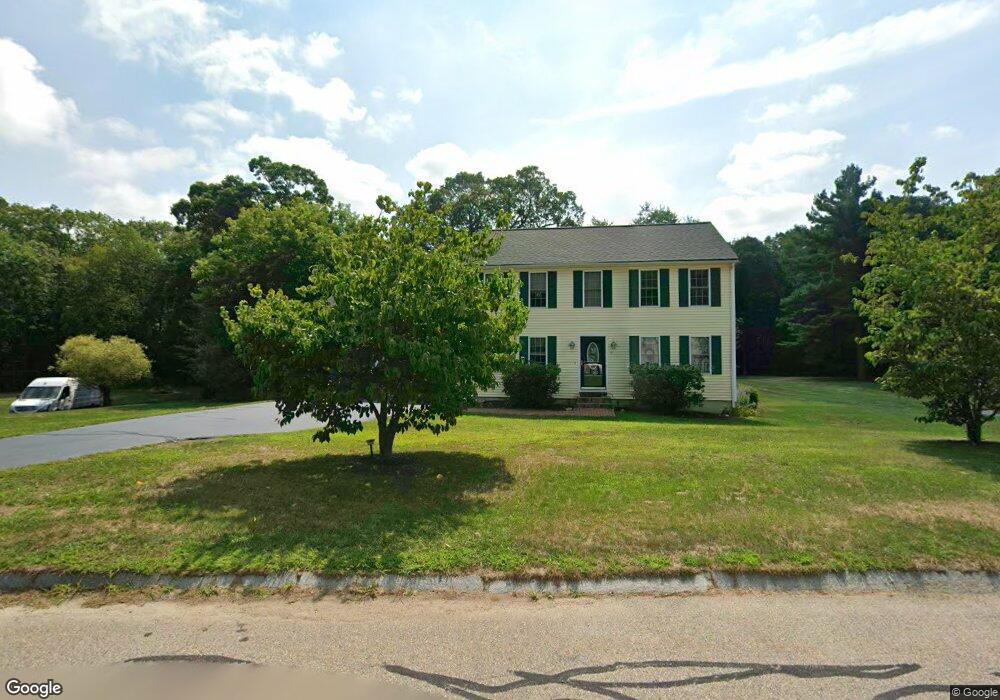
51 Red Oak Rd North Attleboro, MA 02760
North Attleboro NeighborhoodEstimated Value: $668,474 - $725,000
3
Beds
2
Baths
1,632
Sq Ft
$428/Sq Ft
Est. Value
About This Home
This home is located at 51 Red Oak Rd, North Attleboro, MA 02760 and is currently estimated at $698,369, approximately $427 per square foot. 51 Red Oak Rd is a home located in Bristol County with nearby schools including North Attleboro High School, Cadence Academy Preschool - North Attleborough, and Bishop Feehan High School.
Ownership History
Date
Name
Owned For
Owner Type
Purchase Details
Closed on
Nov 24, 1999
Sold by
Cobblestone Bldrs
Bought by
Ross Stephen F and Ross Nina M
Current Estimated Value
Home Financials for this Owner
Home Financials are based on the most recent Mortgage that was taken out on this home.
Original Mortgage
$194,600
Interest Rate
7.77%
Mortgage Type
Purchase Money Mortgage
Create a Home Valuation Report for This Property
The Home Valuation Report is an in-depth analysis detailing your home's value as well as a comparison with similar homes in the area
Home Values in the Area
Average Home Value in this Area
Purchase History
| Date | Buyer | Sale Price | Title Company |
|---|---|---|---|
| Ross Stephen F | $204,900 | -- |
Source: Public Records
Mortgage History
| Date | Status | Borrower | Loan Amount |
|---|---|---|---|
| Open | Ross Stephen F | $273,000 | |
| Closed | Ross Stephen F | $191,000 | |
| Closed | Ross Stephen F | $194,600 |
Source: Public Records
Tax History Compared to Growth
Tax History
| Year | Tax Paid | Tax Assessment Tax Assessment Total Assessment is a certain percentage of the fair market value that is determined by local assessors to be the total taxable value of land and additions on the property. | Land | Improvement |
|---|---|---|---|---|
| 2025 | $6,474 | $549,100 | $170,300 | $378,800 |
| 2024 | $6,443 | $558,300 | $170,300 | $388,000 |
| 2023 | $6,378 | $498,700 | $177,600 | $321,100 |
| 2022 | $6,008 | $431,300 | $170,300 | $261,000 |
| 2021 | $5,548 | $388,800 | $170,300 | $218,500 |
| 2020 | $5,487 | $382,400 | $170,300 | $212,100 |
| 2019 | $5,303 | $372,400 | $155,300 | $217,100 |
| 2018 | $4,793 | $359,300 | $155,300 | $204,000 |
| 2017 | $4,750 | $359,300 | $155,300 | $204,000 |
| 2016 | $4,865 | $368,000 | $179,700 | $188,300 |
| 2015 | $4,782 | $363,900 | $187,000 | $176,900 |
| 2014 | $4,520 | $341,400 | $164,500 | $176,900 |
Source: Public Records
Map
Nearby Homes
- 11 Landry Ave
- 10 Sleepy Hollow Cir
- 57 Vine St
- 16 Raymond Hall Dr
- 115 Westfield Dr
- Lot 5 Jeffrey Dr
- Lot 2 Jeffrey Dr
- 15 Old Wood Rd
- 116 George St
- 11 Buckthorn Ln
- 36 Cranberry Rd
- 17 Peters Way
- 12 Houde St
- 122 Mary Ann Way
- 59 Laurelwood Dr
- 47 Old Farm Rd
- 1730 West St
- 546 Towne St
- 3 Serengeti Dr
- 28 Messenger St
- 41 Red Oak Rd
- 61 Red Oak Rd
- 42 Red Oak Rd
- 10 White Oak Way
- 52 Red Oak Rd
- 67 Red Oak Rd
- 12 White Oak Way
- 32 Red Oak Rd
- 60 Red Oak Rd
- 22 White Oak Way
- 22 White Oak Way Unit 22
- 1 White Oak Way
- 22 Red Oak Rd
- 35 Harold k Waterson Ln
- 31 Red Oak Rd
- 11 White Oak Way
- 11 White Oak Way Unit 1
- 49 Harold k Waterson Ln
- 32 White Oak Way
- 12 Red Oak Rd