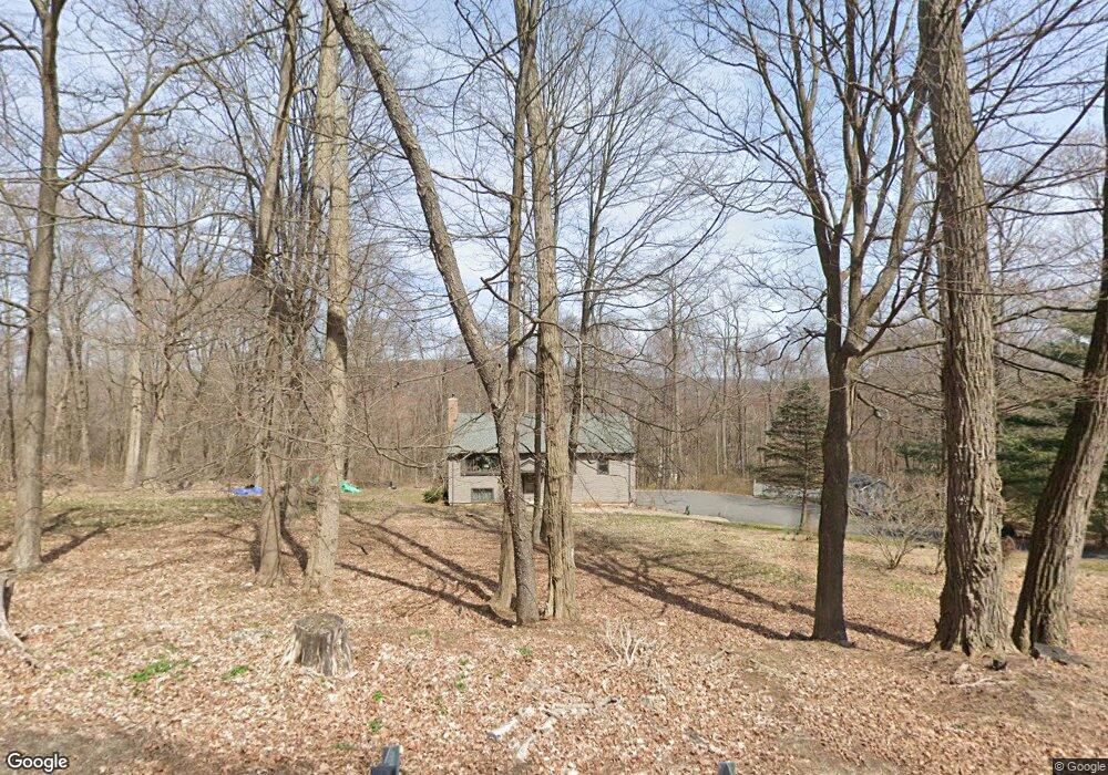
51 Route 39 S Sherman, CT 06784
Estimated Value: $539,000 - $651,000
3
Beds
3
Baths
1,553
Sq Ft
$371/Sq Ft
Est. Value
About This Home
This home is located at 51 Route 39 S, Sherman, CT 06784 and is currently estimated at $576,390, approximately $371 per square foot. 51 Route 39 S is a home located in Fairfield County with nearby schools including Sherman School.
Ownership History
Date
Name
Owned For
Owner Type
Purchase Details
Closed on
Aug 22, 1996
Sold by
French Edwin A and French Jo Ann
Bought by
Schaffer David N
Current Estimated Value
Home Financials for this Owner
Home Financials are based on the most recent Mortgage that was taken out on this home.
Original Mortgage
$130,000
Interest Rate
8.4%
Mortgage Type
Unknown
Create a Home Valuation Report for This Property
The Home Valuation Report is an in-depth analysis detailing your home's value as well as a comparison with similar homes in the area
Home Values in the Area
Average Home Value in this Area
Purchase History
| Date | Buyer | Sale Price | Title Company |
|---|---|---|---|
| Schaffer David N | $190,000 | -- |
Source: Public Records
Mortgage History
| Date | Status | Borrower | Loan Amount |
|---|---|---|---|
| Open | Schaffer David N | $150,000 | |
| Closed | Schaffer David N | $141,000 | |
| Closed | Schaffer David N | $129,400 | |
| Closed | Schaffer David N | $130,000 |
Source: Public Records
Tax History
| Year | Tax Paid | Tax Assessment Tax Assessment Total Assessment is a certain percentage of the fair market value that is determined by local assessors to be the total taxable value of land and additions on the property. | Land | Improvement |
|---|---|---|---|---|
| 2025 | $3,806 | $228,300 | $71,100 | $157,200 |
| 2024 | $3,735 | $228,300 | $71,100 | $157,200 |
| 2023 | $4,068 | $228,300 | $71,100 | $157,200 |
| 2022 | $4,150 | $228,300 | $71,100 | $157,200 |
| 2021 | $4,256 | $228,300 | $71,100 | $157,200 |
| 2020 | $49,022 | $228,300 | $71,100 | $157,200 |
| 2019 | $49,442 | $228,300 | $71,100 | $157,200 |
| 2018 | $4,263 | $209,700 | $75,100 | $134,600 |
| 2017 | $4,263 | $209,700 | $75,100 | $134,600 |
| 2016 | $4,081 | $200,760 | $75,110 | $125,650 |
| 2015 | $4,023 | $200,760 | $75,110 | $125,650 |
| 2014 | $3,983 | $200,760 | $75,110 | $125,650 |
Source: Public Records
Map
Nearby Homes
- 8 Candleview Dr
- 17 Mauweehoo Hill
- 0 Rte 39 South State Route
- 0 Wagon Wheel Rd Unit 24065102
- 2 Deer Hill Rd
- 5 Laurel Hill Rd N
- 5 Sail Harbour Dr
- 2 Coburn Rd W
- 6 Brinsmade Ln
- 54 Lavelle Ave
- 6 Candlewood Common
- 29 Candlewood Common
- 22 Candlewood Common
- 15 Flak Ln
- 4 Harbour View Dr
- 32 Sail Harbour Dr
- 23 Echo Dr
- 76 Candle Hill Rd
- 78 Candle Hill Rd
- 35 Skyline Dr
- 1 Candleview Dr
- 49 Route 39 S
- 15 Candleview Dr
- 3 Candleview Dr
- 17 Candleview Dr
- 13 Candleview Dr
- 47 Route 39 S
- 2 Candleview Dr
- 62 Route 39 S
- 64 Route 39 S
- 4 Candleview Dr
- 60 Route 39 S
- 11 Candleview Dr
- 66 Route 39 S
- 19 Candleview Dr
- 43 Route 39 S
- 7 Candleview Dr
- 37 Cozier Hill Rd
- 24 Candleview Dr
- 35 Cozier Hill Rd
Your Personal Tour Guide
Ask me questions while you tour the home.