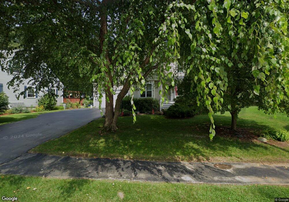
51 Santoro Rd Worcester, MA 01606
Burncoat NeighborhoodEstimated Value: $558,071 - $625,000
3
Beds
2
Baths
2,032
Sq Ft
$292/Sq Ft
Est. Value
About This Home
This home is located at 51 Santoro Rd, Worcester, MA 01606 and is currently estimated at $592,518, approximately $291 per square foot. 51 Santoro Rd is a home located in Worcester County with nearby schools including Norrback Avenue Elementary School, Jacob Hiatt Magnet School, and Chandler Magnet.
Ownership History
Date
Name
Owned For
Owner Type
Purchase Details
Closed on
Jul 25, 2022
Sold by
Spillane Maryann B
Bought by
Spillane Maryann B and Spillane Robert C
Current Estimated Value
Purchase Details
Closed on
Oct 18, 1994
Sold by
F I C Homes Worc Rt and Mitchell Alexander
Bought by
Spillane Maryann
Purchase Details
Closed on
Jul 9, 1993
Sold by
Pioneer Coporate Park
Bought by
Barker Jerry E and Barker Diane
Create a Home Valuation Report for This Property
The Home Valuation Report is an in-depth analysis detailing your home's value as well as a comparison with similar homes in the area
Home Values in the Area
Average Home Value in this Area
Purchase History
| Date | Buyer | Sale Price | Title Company |
|---|---|---|---|
| Spillane Maryann B | -- | None Available | |
| Spillane Maryann | $118,935 | -- | |
| Barker Jerry E | $114,000 | -- |
Source: Public Records
Mortgage History
| Date | Status | Borrower | Loan Amount |
|---|---|---|---|
| Previous Owner | Barker Jerry E | $155,000 | |
| Previous Owner | Barker Jerry E | $75,000 | |
| Previous Owner | Barker Jerry E | $96,100 |
Source: Public Records
Tax History Compared to Growth
Tax History
| Year | Tax Paid | Tax Assessment Tax Assessment Total Assessment is a certain percentage of the fair market value that is determined by local assessors to be the total taxable value of land and additions on the property. | Land | Improvement |
|---|---|---|---|---|
| 2025 | $6,443 | $488,500 | $118,000 | $370,500 |
| 2024 | $6,342 | $461,200 | $118,000 | $343,200 |
| 2023 | $6,109 | $426,000 | $102,600 | $323,400 |
| 2022 | $5,657 | $371,900 | $82,100 | $289,800 |
| 2021 | $5,675 | $348,600 | $65,700 | $282,900 |
| 2020 | $5,472 | $321,900 | $65,700 | $256,200 |
| 2019 | $5,267 | $292,600 | $59,100 | $233,500 |
| 2018 | $5,210 | $275,500 | $59,100 | $216,400 |
| 2017 | $4,988 | $259,500 | $59,100 | $200,400 |
| 2016 | $5,008 | $243,000 | $43,100 | $199,900 |
| 2015 | $4,877 | $243,000 | $43,100 | $199,900 |
| 2014 | $4,748 | $243,000 | $43,100 | $199,900 |
Source: Public Records
Map
Nearby Homes
- 59 Santoro Rd
- 83 Hillside Village Dr
- 97 Hillside Village Dr
- 156 Hillside Village Dr
- 740 Burncoat St Unit B
- 1110 W Boylston St Unit A
- 12 Birchbrush Ln
- 1097 W Boylston St
- 602 Burncoat St
- 29 Isleboro St
- 33 Isleboro St
- 12 Dixfield Rd
- 33 Meola Ave
- 39 Meola Ave
- 89 E Mountain St
- 1 Highland Ave
- 31 Danielles Way
- 22 Danielles Way
- 26 Danielles Way
- 3 Malden St
- 53 Santoro Rd
- 47 Santoro Rd
- 55 Santoro Rd
- 52 Santoro Rd
- 54 Santoro Rd
- 66 Hillside Village Dr
- 64 Hillside Village Dr
- 62 Hillside Village Dr
- 44 Santoro Rd
- 56 Santoro Rd
- 57 Santoro Rd
- 50 Hillside Village Dr
- 46 Hillside Village Dr
- 42 Santoro Rd
- 58 Santoro Rd
- 74 Hillside Village Dr
- 72 Hillside Village Dr
- 70 Hillside Village Dr
- 70 Hillside Village Dr Unit 70
- 114 Santoro Rd