51 Sidney Ave Spotswood, NJ 08884
Estimated Value: $505,000 - $548,000
--
Bed
--
Bath
1,407
Sq Ft
$375/Sq Ft
Est. Value
About This Home
This home is located at 51 Sidney Ave, Spotswood, NJ 08884 and is currently estimated at $527,786, approximately $375 per square foot. 51 Sidney Ave is a home located in Middlesex County with nearby schools including G. Austin Schoenly Elementary School, E. Raymond Appleby Elementary School, and Spotswood Memorial School.
Ownership History
Date
Name
Owned For
Owner Type
Purchase Details
Closed on
Oct 6, 1994
Sold by
Bletsas Antonio
Bought by
Rinkens David and Rinkens Helen
Current Estimated Value
Home Financials for this Owner
Home Financials are based on the most recent Mortgage that was taken out on this home.
Original Mortgage
$108,000
Interest Rate
8.49%
Create a Home Valuation Report for This Property
The Home Valuation Report is an in-depth analysis detailing your home's value as well as a comparison with similar homes in the area
Home Values in the Area
Average Home Value in this Area
Purchase History
| Date | Buyer | Sale Price | Title Company |
|---|---|---|---|
| Rinkens David | $120,000 | -- |
Source: Public Records
Mortgage History
| Date | Status | Borrower | Loan Amount |
|---|---|---|---|
| Closed | Rinkens David | $108,000 |
Source: Public Records
Tax History Compared to Growth
Tax History
| Year | Tax Paid | Tax Assessment Tax Assessment Total Assessment is a certain percentage of the fair market value that is determined by local assessors to be the total taxable value of land and additions on the property. | Land | Improvement |
|---|---|---|---|---|
| 2025 | $10,118 | $277,900 | $140,000 | $137,900 |
| 2024 | $9,952 | $277,900 | $140,000 | $137,900 |
| 2023 | $9,952 | $277,900 | $140,000 | $137,900 |
| 2022 | $9,749 | $277,900 | $140,000 | $137,900 |
| 2021 | $9,671 | $277,900 | $140,000 | $137,900 |
| 2020 | $9,446 | $277,900 | $140,000 | $137,900 |
| 2019 | $9,229 | $277,900 | $140,000 | $137,900 |
| 2018 | $9,007 | $277,900 | $140,000 | $137,900 |
| 2017 | $8,848 | $277,900 | $140,000 | $137,900 |
| 2016 | $8,612 | $277,900 | $140,000 | $137,900 |
| 2015 | $8,220 | $277,900 | $140,000 | $137,900 |
| 2014 | $8,148 | $277,900 | $140,000 | $137,900 |
Source: Public Records
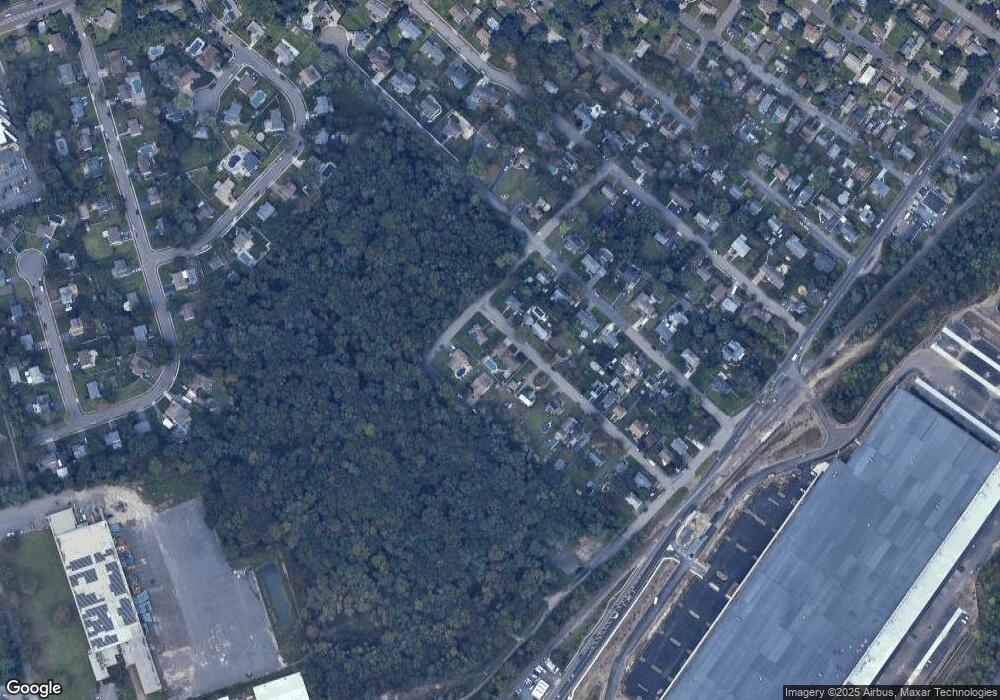
Map
Nearby Homes
- 27 Harrison Ave
- 27 Janice Dr
- 32 Roosevelt Ave
- 34 Roosevelt Ave
- 64 Jefferson Dr
- 205 Main St
- 213 Summerhill Rd
- 11 Macarthur Ave
- 289 Main St Unit 2N
- 289 Main St Unit 9R
- 289 Main St Unit 6E
- 289 Main St Unit 10F
- 289 Main St Unit 4Q
- 289 Main St Unit 10N
- 22 Prince Rd
- 12 Francis Rd
- 3 Stanley Rd
- 296 Herbert Ave
- 266 Wyoming Ave
- 21 Fourth St