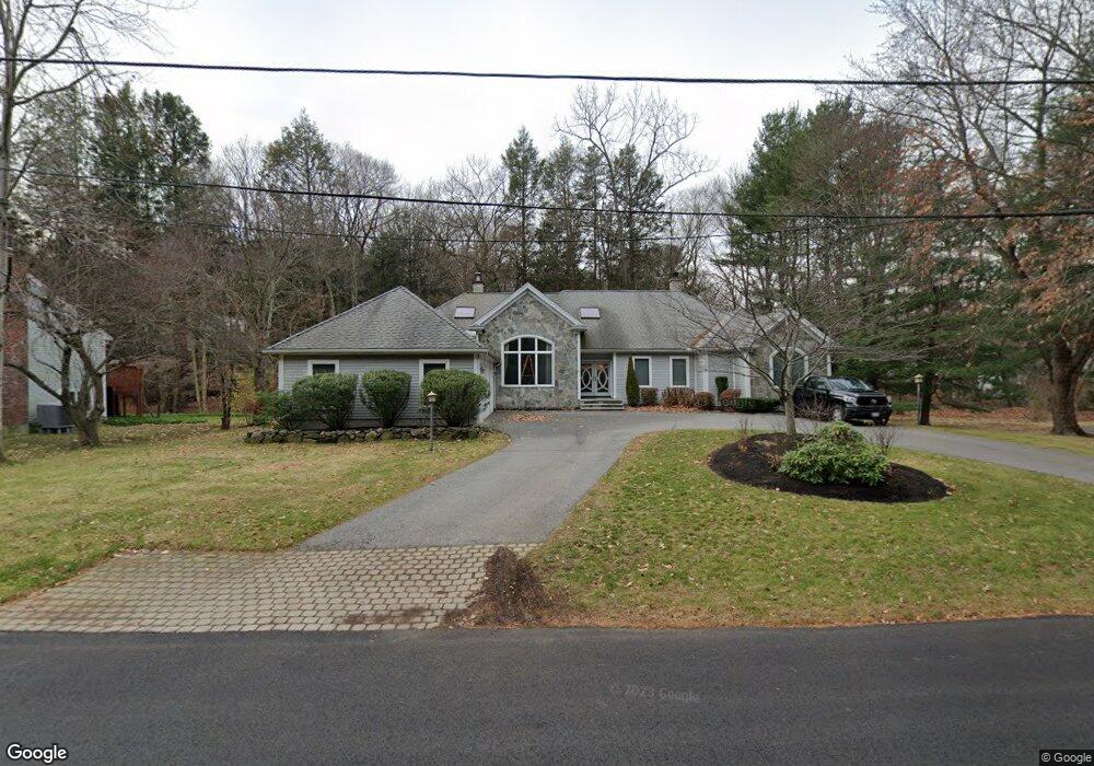
51 Squire Rd Winchester, MA 01890
West Side NeighborhoodEstimated Value: $1,713,500 - $1,893,000
4
Beds
4
Baths
3,332
Sq Ft
$541/Sq Ft
Est. Value
About This Home
This home is located at 51 Squire Rd, Winchester, MA 01890 and is currently estimated at $1,802,875, approximately $541 per square foot. 51 Squire Rd is a home located in Middlesex County with nearby schools including Vinson-Owen Elementary School, McCall Middle School, and Winchester High School.
Ownership History
Date
Name
Owned For
Owner Type
Purchase Details
Closed on
Aug 12, 2009
Sold by
Diloreto Michael E and Diloreto Susan D
Bought by
Monsini Albert and Monsini Andrea
Current Estimated Value
Home Financials for this Owner
Home Financials are based on the most recent Mortgage that was taken out on this home.
Original Mortgage
$650,000
Interest Rate
5.36%
Mortgage Type
Purchase Money Mortgage
Purchase Details
Closed on
Apr 19, 1994
Sold by
Bhargava Ashok N and Bhargava Sushema
Bought by
Diloreto Michael E and Diloreto Susan D
Create a Home Valuation Report for This Property
The Home Valuation Report is an in-depth analysis detailing your home's value as well as a comparison with similar homes in the area
Home Values in the Area
Average Home Value in this Area
Purchase History
| Date | Buyer | Sale Price | Title Company |
|---|---|---|---|
| Monsini Albert | $900,000 | -- | |
| Diloreto Michael E | $313,000 | -- |
Source: Public Records
Mortgage History
| Date | Status | Borrower | Loan Amount |
|---|---|---|---|
| Open | Diloreto Michael E | $644,000 | |
| Closed | Diloreto Michael E | $643,000 | |
| Closed | Monsini Albert | $650,000 |
Source: Public Records
Tax History
| Year | Tax Paid | Tax Assessment Tax Assessment Total Assessment is a certain percentage of the fair market value that is determined by local assessors to be the total taxable value of land and additions on the property. | Land | Improvement |
|---|---|---|---|---|
| 2025 | $164 | $1,480,500 | $801,300 | $679,200 |
| 2024 | $16,285 | $1,437,300 | $761,300 | $676,000 |
| 2023 | $15,261 | $1,293,300 | $661,300 | $632,000 |
| 2022 | $15,369 | $1,228,500 | $601,200 | $627,300 |
| 2021 | $14,735 | $1,148,500 | $521,200 | $627,300 |
| 2020 | $14,106 | $1,138,500 | $511,200 | $627,300 |
| 2019 | $13,182 | $1,088,500 | $461,200 | $627,300 |
| 2018 | $12,843 | $1,053,600 | $439,200 | $614,400 |
| 2017 | $13,083 | $1,065,400 | $439,200 | $626,200 |
| 2016 | $11,887 | $1,017,700 | $431,200 | $586,500 |
| 2015 | $11,991 | $987,700 | $401,200 | $586,500 |
| 2014 | $12,161 | $960,600 | $391,200 | $569,400 |
Source: Public Records
Map
Nearby Homes
- 49 Squire Rd
- 53 Squire Rd
- 52 Squire Rd
- 18 Thornberry Rd
- 50 Squire Rd
- 110 Thornberry Rd
- 54 Squire Rd
- 20 Thornberry Rd
- 16 Thornberry Rd
- 19 Thornberry Rd
- 21 Thornberry Rd
- 108 Thornberry Rd
- 14 Thornberry Rd
- 57 Squire Rd
- 12 Vinson Cir
- 17 Thornberry Rd
- 22 Thornberry Rd
- 14 Vinson Cir
- 10 Vinson Cir
- 15 Thornberry Rd
Your Personal Tour Guide
Ask me questions while you tour the home.