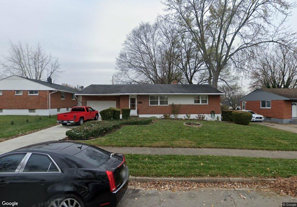
51 Stubbs Dr Dayton, OH 45426
Estimated Value: $118,000 - $156,000
3
Beds
2
Baths
1,080
Sq Ft
$132/Sq Ft
Est. Value
About This Home
This home is located at 51 Stubbs Dr, Dayton, OH 45426 and is currently estimated at $142,138, approximately $131 per square foot. 51 Stubbs Dr is a home located in Montgomery County with nearby schools including Trotwood-Madison Middle School, Trotwood-Madison High School, and Trotwood Preparatory & Fitness Academy.
Ownership History
Date
Name
Owned For
Owner Type
Purchase Details
Closed on
May 19, 2000
Sold by
Pine John D and Pine Mary F
Bought by
Buycks Willie Paul
Current Estimated Value
Home Financials for this Owner
Home Financials are based on the most recent Mortgage that was taken out on this home.
Original Mortgage
$82,297
Outstanding Balance
$28,411
Interest Rate
8.13%
Mortgage Type
VA
Estimated Equity
$113,727
Purchase Details
Closed on
Jun 20, 1995
Sold by
Pine John David and Pine Mary F
Bought by
Pine John David and Pine Mary F
Create a Home Valuation Report for This Property
The Home Valuation Report is an in-depth analysis detailing your home's value as well as a comparison with similar homes in the area
Home Values in the Area
Average Home Value in this Area
Purchase History
| Date | Buyer | Sale Price | Title Company |
|---|---|---|---|
| Buycks Willie Paul | $79,900 | -- | |
| Pine John David | -- | -- |
Source: Public Records
Mortgage History
| Date | Status | Borrower | Loan Amount |
|---|---|---|---|
| Open | Buycks Willie Paul | $82,297 |
Source: Public Records
Tax History Compared to Growth
Tax History
| Year | Tax Paid | Tax Assessment Tax Assessment Total Assessment is a certain percentage of the fair market value that is determined by local assessors to be the total taxable value of land and additions on the property. | Land | Improvement |
|---|---|---|---|---|
| 2024 | $1,851 | $28,430 | $4,480 | $23,950 |
| 2023 | $1,851 | $28,430 | $4,480 | $23,950 |
| 2022 | $1,860 | $22,250 | $3,500 | $18,750 |
| 2021 | $1,864 | $22,250 | $3,500 | $18,750 |
| 2020 | $1,863 | $22,250 | $3,500 | $18,750 |
| 2019 | $1,568 | $16,730 | $2,450 | $14,280 |
| 2018 | $1,570 | $16,730 | $2,450 | $14,280 |
| 2017 | $1,560 | $16,730 | $2,450 | $14,280 |
| 2016 | $1,617 | $17,370 | $3,500 | $13,870 |
| 2015 | $1,591 | $17,370 | $3,500 | $13,870 |
| 2014 | $1,591 | $17,370 | $3,500 | $13,870 |
| 2012 | -- | $23,470 | $5,430 | $18,040 |
Source: Public Records
Map
Nearby Homes
- 33 Mario Dr
- 204 E Main St
- 4 Pleasant Ave
- 17 N Sunrise Ave
- 17 Grand Ave
- 103 E Worley Ave
- 1 E Worley Ave
- 301 Beardsley Rd
- 0 Main
- 209 W Main St
- 208 E Sunrise Ave
- 385 Blairwood Dr
- 316 Skinner Dr
- 208 E Eppington Dr
- 717 Mapleside Dr
- 800 Chandler Dr
- 512 N Sherry Dr
- 6899 Little Richmond Rd
- 7540 Tuscola Dr
- 0 Little Richmond Rd