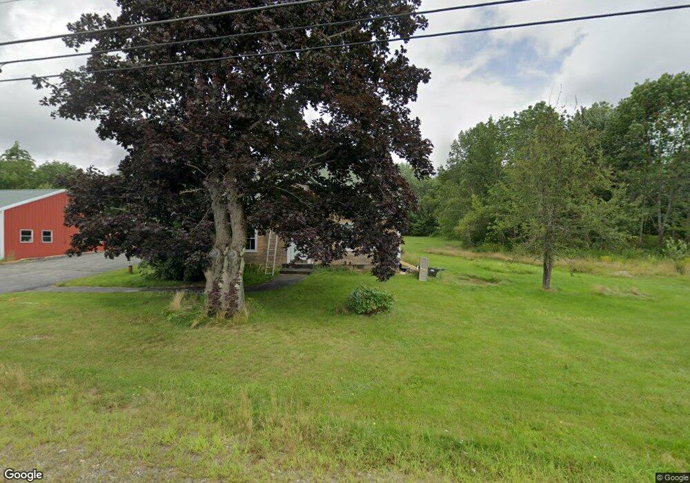
51 Sunset Rd Springvale, ME 04083
Estimated Value: $281,551 - $477,000
2
Beds
--
Bath
1,247
Sq Ft
$279/Sq Ft
Est. Value
About This Home
This home is located at 51 Sunset Rd, Springvale, ME 04083 and is currently estimated at $347,850, approximately $278 per square foot. 51 Sunset Rd is a home located in York County.
Ownership History
Date
Name
Owned For
Owner Type
Purchase Details
Closed on
May 14, 2021
Sold by
Leach Donald E
Bought by
Cross Enterprises Llc
Current Estimated Value
Home Financials for this Owner
Home Financials are based on the most recent Mortgage that was taken out on this home.
Original Mortgage
$156,000
Outstanding Balance
$140,772
Interest Rate
3.1%
Mortgage Type
Purchase Money Mortgage
Estimated Equity
$207,078
Purchase Details
Closed on
Jul 2, 2007
Sold by
Dewitt Kyla A and Dewitt Robert J
Bought by
Leach Donald E
Create a Home Valuation Report for This Property
The Home Valuation Report is an in-depth analysis detailing your home's value as well as a comparison with similar homes in the area
Home Values in the Area
Average Home Value in this Area
Purchase History
| Date | Buyer | Sale Price | Title Company |
|---|---|---|---|
| Cross Enterprises Llc | -- | None Available | |
| Leach Donald E | -- | -- |
Source: Public Records
Mortgage History
| Date | Status | Borrower | Loan Amount |
|---|---|---|---|
| Open | Cross Enterprises Llc | $156,000 | |
| Previous Owner | Leach Donald E | $301,500 |
Source: Public Records
Tax History
| Year | Tax Paid | Tax Assessment Tax Assessment Total Assessment is a certain percentage of the fair market value that is determined by local assessors to be the total taxable value of land and additions on the property. | Land | Improvement |
|---|---|---|---|---|
| 2025 | $3,117 | $182,300 | $52,400 | $129,900 |
| 2024 | $2,586 | $160,200 | $52,400 | $107,800 |
| 2023 | $2,413 | $159,400 | $52,400 | $107,000 |
| 2022 | $2,359 | $159,400 | $52,400 | $107,000 |
| 2021 | $2,645 | $145,500 | $52,400 | $93,100 |
| 2020 | $2,768 | $137,300 | $52,400 | $84,900 |
| 2019 | $2,772 | $133,900 | $52,400 | $81,500 |
| 2018 | $2,475 | $127,500 | $47,700 | $79,800 |
| 2017 | $2,605 | $125,600 | $47,700 | $77,900 |
| 2016 | $2,667 | $117,300 | $47,800 | $69,500 |
| 2015 | $2,475 | $122,300 | $51,900 | $70,400 |
| 2014 | $2,601 | $124,200 | $53,600 | $70,600 |
| 2013 | -- | $130,700 | $59,700 | $71,000 |
Source: Public Records
Map
Nearby Homes
- 41 Sunset Rd
- 87 Sunset Rd
- 78 Sunset Rd
- 37 Blanchard Rd
- 10 Blanchard Rd
- 97 Sunset Rd
- 100 Sunset Rd
- 21 Blanchard Rd
- 14 Hazen Dr
- 680 Hanson Ridge Rd
- 103 Sunset Rd
- 123 Sunset Rd
- 13 Blanchard Rd
- 92 Blanchard Rd
- 701 Hanson Ridge Rd
- 687 Hanson Ridge Rd
- 273 Deering Neighborhood Rd
- 716 Hanson Ridge Rd
- 125 Blanchard Rd
- 60 Hazen Dr
Your Personal Tour Guide
Ask me questions while you tour the home.