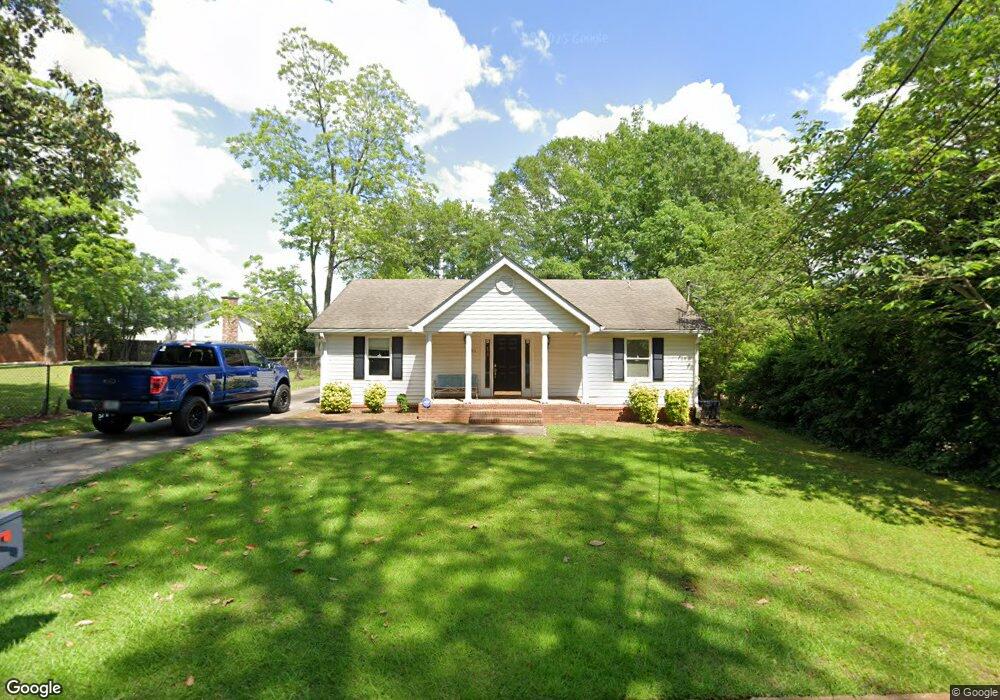
51 Sutherland Dr Newnan, GA 30263
Estimated Value: $264,653
--
Bed
--
Bath
1,148
Sq Ft
$231/Sq Ft
Est. Value
About This Home
This home is located at 51 Sutherland Dr, Newnan, GA 30263 and is currently estimated at $264,653, approximately $230 per square foot. 51 Sutherland Dr is a home located in Coweta County with nearby schools including Jefferson Parkway Elementary School, Arnall Middle School, and East Coweta High School.
Ownership History
Date
Name
Owned For
Owner Type
Purchase Details
Closed on
Feb 19, 2019
Sold by
Kraker Carl
Bought by
Vineyard Paden B
Current Estimated Value
Purchase Details
Closed on
Jul 22, 2014
Sold by
Global Fundamental Baptist Mis
Bought by
Kraker Carl
Purchase Details
Closed on
Jun 1, 1995
Bought by
Global Fundamental Baptist Missions
Purchase Details
Closed on
May 8, 1992
Bought by
Satterfield J Mike
Purchase Details
Closed on
Dec 31, 1983
Bought by
Mcmichael Cecil E
Create a Home Valuation Report for This Property
The Home Valuation Report is an in-depth analysis detailing your home's value as well as a comparison with similar homes in the area
Home Values in the Area
Average Home Value in this Area
Purchase History
| Date | Buyer | Sale Price | Title Company |
|---|---|---|---|
| Vineyard Paden B | $155,000 | -- | |
| Kraker Carl | $131,000 | -- | |
| Global Fundamental Baptist Missions | $85,000 | -- | |
| Satterfield J Mike | $17,100 | -- | |
| Mcmichael Cecil E | -- | -- |
Source: Public Records
Tax History Compared to Growth
Tax History
| Year | Tax Paid | Tax Assessment Tax Assessment Total Assessment is a certain percentage of the fair market value that is determined by local assessors to be the total taxable value of land and additions on the property. | Land | Improvement |
|---|---|---|---|---|
| 2024 | $1,119 | $48,988 | $6,400 | $42,588 |
| 2023 | $1,119 | $46,479 | $3,200 | $43,279 |
| 2022 | $1,115 | $45,829 | $3,200 | $42,629 |
| 2021 | $1,232 | $45,829 | $3,200 | $42,629 |
| 2020 | $1,259 | $45,829 | $3,200 | $42,629 |
| 2019 | $1,327 | $44,182 | $3,200 | $40,982 |
| 2018 | $1,486 | $49,170 | $3,200 | $45,970 |
| 2017 | $1,480 | $49,170 | $3,200 | $45,970 |
| 2016 | $1,481 | $49,170 | $3,200 | $45,970 |
| 2015 | $1,483 | $49,170 | $3,200 | $45,970 |
| 2014 | -- | $49,170 | $3,200 | $45,970 |
Source: Public Records
Map
Nearby Homes
- 0 Highway 34 Unit 20149159
- 40 Wilcoxon St
- 15 Casey St
- 5 Casey Rd
- 0 Georgia 34 Unit 7614778
- 55A Perry St
- 144 Jackson St
- 0 Highway 29 N Unit 14.41+/- AC 10432364
- 0 N Highway 29 Unit 20115352
- 3 Briarwood Ln
- 0 Davis St Unit 10606043
- 3 Northside Dr
- 30 Pinson St
- 12 Burch Ave
- 10 Burch Ave
- 11 Main St
- 20 Salbide Ave
- 61 Clark St
- 123 Chastain Cir
- 81 Chastain Cir
- 90 Kindelwood Dr Unit LOT 4
- 76 Emery Nell Ln Unit 5
- 450 Genesee Point
- 405 Genesee Point
- 82 Emery Nell Ln Unit 6
- 90 Kindelwood Dr
- 45 Sutherland Dr Unit Suite B
- 45 Sutherland Dr Unit Suite A
- 41 Farmer St
- 41 Farmer St Unit 9, 1
- 41 Farmer St Unit 101
- 41 Farmer St Unit 103
- 41 Farmer St Unit 102
- 33 Farmer St
- 21 Bullsboro Dr
- 54 Farmer St
- 14 Bullsboro Dr
- 50 Farmer St
- 16 Bullsboro Dr
- 25 Sutherland Dr