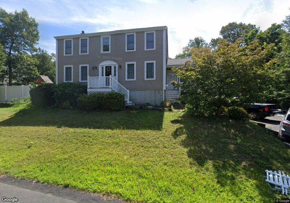
51 Taft Rd Weymouth, MA 02188
Weymouth Landing NeighborhoodEstimated Value: $760,000 - $797,000
4
Beds
2
Baths
1,820
Sq Ft
$427/Sq Ft
Est. Value
About This Home
This home is located at 51 Taft Rd, Weymouth, MA 02188 and is currently estimated at $777,385, approximately $427 per square foot. 51 Taft Rd is a home located in Norfolk County with nearby schools including Abigail Adams Middle School, Academy Avenue Elementary School, and Weymouth Middle School Chapman.
Ownership History
Date
Name
Owned For
Owner Type
Purchase Details
Closed on
Dec 15, 2021
Sold by
Flaherty Jason
Bought by
Flaherty Jason and Flaherty Denise
Current Estimated Value
Home Financials for this Owner
Home Financials are based on the most recent Mortgage that was taken out on this home.
Original Mortgage
$333,650
Outstanding Balance
$306,788
Interest Rate
3.09%
Mortgage Type
New Conventional
Estimated Equity
$470,597
Purchase Details
Closed on
Aug 26, 1997
Sold by
Whalen Joseph G
Bought by
Marlowe Michael E and Marlowe Pamela S
Home Financials for this Owner
Home Financials are based on the most recent Mortgage that was taken out on this home.
Original Mortgage
$150,000
Interest Rate
7.42%
Mortgage Type
Purchase Money Mortgage
Create a Home Valuation Report for This Property
The Home Valuation Report is an in-depth analysis detailing your home's value as well as a comparison with similar homes in the area
Home Values in the Area
Average Home Value in this Area
Purchase History
| Date | Buyer | Sale Price | Title Company |
|---|---|---|---|
| Flaherty Jason | -- | None Available | |
| Flaherty Jason | -- | None Available | |
| Marlowe Michael E | $195,000 | -- | |
| Marlowe Michael E | $195,000 | -- |
Source: Public Records
Mortgage History
| Date | Status | Borrower | Loan Amount |
|---|---|---|---|
| Open | Flaherty Jason | $333,650 | |
| Closed | Flaherty Jason | $333,650 | |
| Previous Owner | Marlowe Michael E | $145,000 | |
| Previous Owner | Marlowe Michael E | $150,000 | |
| Previous Owner | Marlowe Michael E | $80,000 |
Source: Public Records
Tax History Compared to Growth
Tax History
| Year | Tax Paid | Tax Assessment Tax Assessment Total Assessment is a certain percentage of the fair market value that is determined by local assessors to be the total taxable value of land and additions on the property. | Land | Improvement |
|---|---|---|---|---|
| 2025 | $7,586 | $751,100 | $257,800 | $493,300 |
| 2024 | $7,349 | $715,600 | $245,500 | $470,100 |
| 2023 | $6,953 | $665,400 | $227,300 | $438,100 |
| 2022 | $6,806 | $593,900 | $210,500 | $383,400 |
| 2021 | $6,248 | $532,200 | $210,500 | $321,700 |
| 2020 | $5,953 | $499,400 | $210,500 | $288,900 |
| 2019 | $5,849 | $482,600 | $202,400 | $280,200 |
| 2018 | $5,761 | $460,900 | $200,800 | $260,100 |
| 2017 | $5,547 | $433,000 | $191,300 | $241,700 |
| 2016 | $5,316 | $415,300 | $183,900 | $231,400 |
| 2015 | $5,089 | $394,500 | $183,900 | $210,600 |
| 2014 | $4,873 | $366,400 | $171,100 | $195,300 |
Source: Public Records
Map
Nearby Homes
- 93 Wilson Ave
- 38 Idlewell St
- 669 Commercial St
- 286 Broad St
- 114 Gilbert Rd
- 20 Richards Rd
- 70 Biscayne Ave
- 727 Commercial St
- 294 Commercial St
- 35 Seminole Ave
- 29-31 Broad Street Place
- 28 Webb St
- 9 Vine St Unit 1
- 19 Vine St Unit 3
- 114 Broad St Unit D
- 114 Broad St Unit C
- 25 Richmond St
- 33 Argyle Rd
- 11 Richmond St
- 23-25 Lindbergh Ave