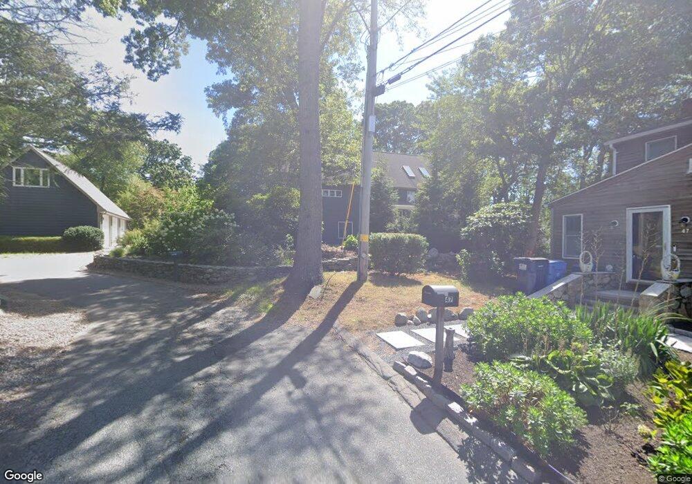
51 Tomahawk Trail S Wakefield, RI 02879
Estimated Value: $961,000 - $1,570,000
3
Beds
3
Baths
2,894
Sq Ft
$407/Sq Ft
Est. Value
About This Home
This home is located at 51 Tomahawk Trail S, Wakefield, RI 02879 and is currently estimated at $1,177,527, approximately $406 per square foot. 51 Tomahawk Trail S is a home located in Washington County with nearby schools including South Kingstown High School, Quest Montessori School, and Monsignor Matthew Clarke Catholic Regional School.
Ownership History
Date
Name
Owned For
Owner Type
Purchase Details
Closed on
Sep 25, 2024
Sold by
Wheeler Lori
Bought by
Wheeler Lori
Current Estimated Value
Purchase Details
Closed on
Jul 7, 2023
Sold by
Lind Brian A and Lind Lori A
Bought by
Lind Lori A
Create a Home Valuation Report for This Property
The Home Valuation Report is an in-depth analysis detailing your home's value as well as a comparison with similar homes in the area
Home Values in the Area
Average Home Value in this Area
Purchase History
| Date | Buyer | Sale Price | Title Company |
|---|---|---|---|
| Wheeler Lori | -- | None Available | |
| Wheeler Lori | -- | None Available | |
| Wheeler Lori | -- | None Available | |
| Lind Lori A | -- | None Available | |
| Lind Lori A | -- | None Available | |
| Lind Lori A | -- | None Available |
Source: Public Records
Mortgage History
| Date | Status | Borrower | Loan Amount |
|---|---|---|---|
| Previous Owner | Lind Lori A | $200,000 | |
| Previous Owner | Lind Lori A | $100,000 | |
| Previous Owner | Lind Lori A | $150,000 | |
| Previous Owner | Lind Lori A | $100,000 |
Source: Public Records
Tax History Compared to Growth
Tax History
| Year | Tax Paid | Tax Assessment Tax Assessment Total Assessment is a certain percentage of the fair market value that is determined by local assessors to be the total taxable value of land and additions on the property. | Land | Improvement |
|---|---|---|---|---|
| 2025 | $10,447 | $1,168,600 | $612,800 | $555,800 |
| 2024 | $9,670 | $875,100 | $376,700 | $498,400 |
| 2023 | $9,670 | $875,100 | $376,700 | $498,400 |
| 2022 | $9,582 | $875,100 | $376,700 | $498,400 |
| 2021 | $10,043 | $695,000 | $327,900 | $367,100 |
| 2020 | $10,043 | $695,000 | $327,900 | $367,100 |
| 2019 | $10,043 | $695,000 | $327,900 | $367,100 |
| 2018 | $9,521 | $607,200 | $304,800 | $302,400 |
| 2017 | $9,296 | $607,200 | $304,800 | $302,400 |
| 2016 | $9,163 | $607,200 | $304,800 | $302,400 |
| 2015 | $8,645 | $557,000 | $265,100 | $291,900 |
| 2014 | $8,622 | $557,000 | $265,100 | $291,900 |
Source: Public Records
Map
Nearby Homes
- 0 Johnny Cake Trail Trail S Unit 1391340
- 0 Indian Trail Trail S Unit 1389828
- 229 Saugatucket Rd
- 46 S River Dr
- 0 S River Dr
- 47 Wayland Trail
- 416 Bridgetown Rd
- 59 Spice Bush Trail
- 121 Spice Bush Trail
- 11 Tupelo Trail
- 80 Old Pine Rd
- 18 Lakeview Dr
- 7 Leatherleaf Rd
- 64 Juniper Trail
- 51 Osceola Ave
- 12 Overlook Rd
- 297 Walmsley Ln
- 0 Betty Dr
- 51 Bonnet Shores Rd
- 53 Bonnet Shores Rd
- 47 Tomahawk Trail S
- 14 Johnny Cake Trail N
- 19 Indian Trail N
- 11 Johnny Cake Trail N
- 35 Tomahawk Trail S
- 22 Indian Trail N
- 38 Tomahawk Trail S
- 20 Peace Pipe Trail N
- 83 Arrow Head Trail
- 61 Arrowhead
- 61 Arrow Head Trail
- 45 Red Feather Trail S
- 62 Indian
- 30 Indian
- 32 Tomahawk Trail S
- 14 Indian Trail N
- 10 Peace Pipe Trail N
- 28 Tomahawk Trail S
- 28 Tomahawk Tr S
- 0 Tomahawk Trail S