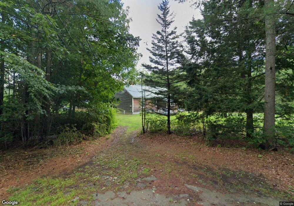
51 Tuttle Rd Lee, NH 03861
Estimated Value: $540,000 - $630,000
3
Beds
3
Baths
1,533
Sq Ft
$379/Sq Ft
Est. Value
About This Home
This home is located at 51 Tuttle Rd, Lee, NH 03861 and is currently estimated at $581,597, approximately $379 per square foot. 51 Tuttle Rd is a home located in Strafford County with nearby schools including Mast Way School, Oyster River Middle School, and Oyster River High School.
Ownership History
Date
Name
Owned For
Owner Type
Purchase Details
Closed on
May 16, 2024
Sold by
Richard L Stevens Ret and Stevens
Bought by
Stevens Patrick
Current Estimated Value
Home Financials for this Owner
Home Financials are based on the most recent Mortgage that was taken out on this home.
Original Mortgage
$253,125
Outstanding Balance
$248,585
Interest Rate
6.82%
Mortgage Type
Purchase Money Mortgage
Estimated Equity
$333,012
Create a Home Valuation Report for This Property
The Home Valuation Report is an in-depth analysis detailing your home's value as well as a comparison with similar homes in the area
Home Values in the Area
Average Home Value in this Area
Purchase History
| Date | Buyer | Sale Price | Title Company |
|---|---|---|---|
| Stevens Patrick | $300,000 | None Available | |
| Stevens Patrick | $300,000 | None Available |
Source: Public Records
Mortgage History
| Date | Status | Borrower | Loan Amount |
|---|---|---|---|
| Open | Stevens Patrick | $253,125 | |
| Closed | Stevens Patrick | $253,125 |
Source: Public Records
Tax History
| Year | Tax Paid | Tax Assessment Tax Assessment Total Assessment is a certain percentage of the fair market value that is determined by local assessors to be the total taxable value of land and additions on the property. | Land | Improvement |
|---|---|---|---|---|
| 2025 | $12,712 | $460,400 | $283,100 | $177,300 |
| 2024 | $11,865 | $460,400 | $283,100 | $177,300 |
| 2023 | $10,879 | $460,400 | $283,100 | $177,300 |
| 2022 | $10,000 | $460,400 | $283,100 | $177,300 |
| 2021 | $10,023 | $460,400 | $283,100 | $177,300 |
| 2020 | $8,978 | $281,800 | $142,100 | $139,700 |
| 2019 | $8,871 | $281,700 | $142,100 | $139,600 |
| 2018 | $8,612 | $281,700 | $142,100 | $139,600 |
| 2017 | $8,434 | $281,700 | $142,100 | $139,600 |
| 2016 | $8,266 | $282,600 | $142,100 | $140,500 |
| 2015 | $7,772 | $265,700 | $126,100 | $139,600 |
| 2014 | $7,891 | $265,700 | $126,100 | $139,600 |
| 2012 | $7,955 | $265,700 | $126,100 | $139,600 |
Source: Public Records
Map
Nearby Homes
- 1 Mast Rd
- 373 Calef Hwy
- 12 Spencer Ln
- 2 Toon Ln
- 3 Federal Hill Ln
- 125 Kelsey Rd
- 464 Wadleigh Falls Rd
- 0 Rear Wadleigh Falls Rd Unit 9
- Map 23 Lot 11-23 Frederick Ln
- Map 23 Ln
- Map 23 Lot 11-22 Frederick Ln
- 6 Roysann Way
- 21 Langs Ln
- 224 Mast Rd
- 24 Ruby Dr
- 383 Emerald Dr
- TBD Old Concord Turnpike
- 268 Emerald Dr
- 5B Violette Dr Unit 2
- 5A Violette Dr Unit 1
Your Personal Tour Guide
Ask me questions while you tour the home.