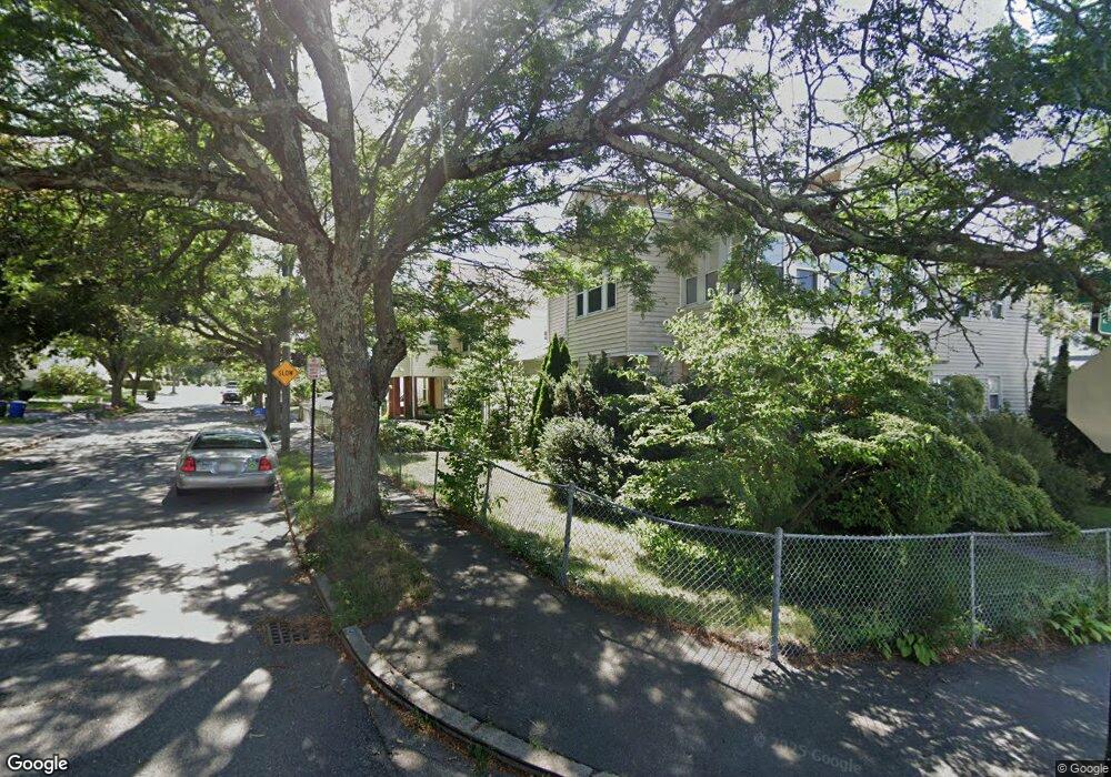
51 Verchild St Quincy, MA 02169
South Quincy NeighborhoodEstimated Value: $980,000 - $1,050,000
6
Beds
2
Baths
3,240
Sq Ft
$314/Sq Ft
Est. Value
About This Home
This home is located at 51 Verchild St, Quincy, MA 02169 and is currently estimated at $1,016,347, approximately $313 per square foot. 51 Verchild St is a home located in Norfolk County with nearby schools including Lincoln-Hancock Community School, South West Middle School, and Quincy High School.
Ownership History
Date
Name
Owned For
Owner Type
Purchase Details
Closed on
Nov 25, 2013
Sold by
Marston William A and Marston Donna A
Bought by
Marston Donna A and Marston William A
Current Estimated Value
Purchase Details
Closed on
May 22, 1974
Bought by
Marston Donna A and Marston William A
Create a Home Valuation Report for This Property
The Home Valuation Report is an in-depth analysis detailing your home's value as well as a comparison with similar homes in the area
Home Values in the Area
Average Home Value in this Area
Purchase History
| Date | Buyer | Sale Price | Title Company |
|---|---|---|---|
| Marston Donna A | -- | -- | |
| Marston Donna A | -- | -- |
Source: Public Records
Mortgage History
| Date | Status | Borrower | Loan Amount |
|---|---|---|---|
| Previous Owner | Marston Donna A | $100,000 | |
| Previous Owner | Marston Donna A | $20,000 | |
| Previous Owner | Marston Donna A | $75,000 | |
| Previous Owner | Marston Donna A | $155,250 |
Source: Public Records
Tax History Compared to Growth
Tax History
| Year | Tax Paid | Tax Assessment Tax Assessment Total Assessment is a certain percentage of the fair market value that is determined by local assessors to be the total taxable value of land and additions on the property. | Land | Improvement |
|---|---|---|---|---|
| 2025 | $11,022 | $955,900 | $312,400 | $643,500 |
| 2024 | $10,403 | $923,100 | $297,600 | $625,500 |
| 2023 | $9,976 | $896,300 | $270,800 | $625,500 |
| 2022 | $10,241 | $854,800 | $226,000 | $628,800 |
| 2021 | $9,422 | $776,100 | $226,000 | $550,100 |
| 2020 | $9,642 | $775,700 | $226,000 | $549,700 |
| 2019 | $8,469 | $674,800 | $213,400 | $461,400 |
| 2018 | $8,452 | $633,600 | $197,800 | $435,800 |
| 2017 | $8,737 | $616,600 | $188,400 | $428,200 |
| 2016 | $7,502 | $522,400 | $164,200 | $358,200 |
| 2015 | $8,434 | $577,700 | $164,200 | $413,500 |
| 2014 | $7,069 | $475,700 | $164,200 | $311,500 |
Source: Public Records
Map
Nearby Homes
- 192 Federal Ave Unit B
- 52 Norman Rd
- 72 Federal Ave
- 10 Hughes St
- 195 Independence Ave Unit 137
- 218 Independence Ave Unit B
- 83 Madison Ave
- 155 Kendrick Ave Unit T7
- 166 Phipps St
- 347 Centre St
- 102 Conrad St
- 8 Jackson St Unit B2
- 161 Cedar St
- 106 Home Park Rd
- 21 Totman St Unit 204
- 21 Totman St Unit 202
- 21 Totman St Unit 309
- 21 Totman St Unit 306
- 21 Totman St Unit 410
- 21 Totman St Unit Model-1
- 55 Verchild St
- 49 Verchild St
- 43 Benningron Unit 1
- 43 Bennington St
- 45 Bennington St Unit 2
- 45 Bennington St
- 45 Bennington St Unit 1
- 43 Bennington St Unit 2
- 43 Bennington St Unit 1
- 61 Verchild St
- 63 Verchild St
- 63 Verchild St Unit 1
- 61 Verchild St Unit 1
- 61 Verchild St Unit 3
- 61 Bennington St
- 61 Bennington St Unit 1
- 37 Bennington St
- 43 Verchild St
- 65 Verchild St
- 22 Plymouth St