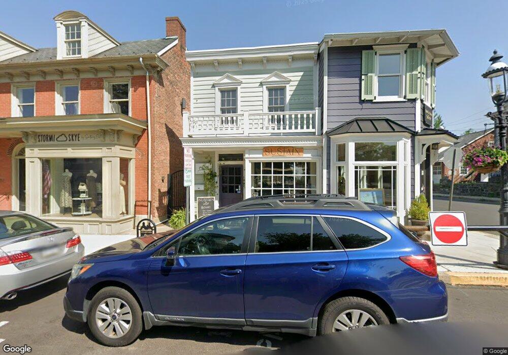
51 W State St Doylestown, PA 18901
Estimated Value: $525,572 - $682,000
1
Bed
1
Bath
730
Sq Ft
$827/Sq Ft
Est. Value
About This Home
This home is located at 51 W State St, Doylestown, PA 18901 and is currently estimated at $603,786, approximately $827 per square foot. 51 W State St is a home located in Bucks County with nearby schools including Doyle El School, Lenape Middle School, and Central Bucks High School-West.
Ownership History
Date
Name
Owned For
Owner Type
Purchase Details
Closed on
Apr 2, 2021
Sold by
Bancroft Charles A
Bought by
Mrlucy Llc
Current Estimated Value
Home Financials for this Owner
Home Financials are based on the most recent Mortgage that was taken out on this home.
Original Mortgage
$300,000
Outstanding Balance
$270,864
Interest Rate
3%
Mortgage Type
Credit Line Revolving
Estimated Equity
$332,922
Purchase Details
Closed on
May 23, 2011
Sold by
Spring Martha and Morse Karen P
Bought by
Bancroft Charles A
Purchase Details
Closed on
Oct 14, 1980
Bought by
Spring Robert P and Spring Martha
Create a Home Valuation Report for This Property
The Home Valuation Report is an in-depth analysis detailing your home's value as well as a comparison with similar homes in the area
Home Values in the Area
Average Home Value in this Area
Purchase History
| Date | Buyer | Sale Price | Title Company |
|---|---|---|---|
| Mrlucy Llc | $400,000 | Tohickon Settlement Services | |
| Bancroft Charles A | $290,000 | None Available | |
| Spring Robert P | $32,000 | -- |
Source: Public Records
Mortgage History
| Date | Status | Borrower | Loan Amount |
|---|---|---|---|
| Open | Mrlucy Llc | $300,000 |
Source: Public Records
Tax History Compared to Growth
Tax History
| Year | Tax Paid | Tax Assessment Tax Assessment Total Assessment is a certain percentage of the fair market value that is determined by local assessors to be the total taxable value of land and additions on the property. | Land | Improvement |
|---|---|---|---|---|
| 2025 | $1,802 | $10,000 | $3,560 | $6,440 |
| 2024 | $1,802 | $10,000 | $3,560 | $6,440 |
| 2023 | $1,716 | $10,000 | $3,560 | $6,440 |
| 2022 | $1,693 | $10,000 | $3,560 | $6,440 |
| 2021 | $1,674 | $10,000 | $3,560 | $6,440 |
| 2020 | $1,655 | $10,000 | $3,560 | $6,440 |
| 2019 | $1,637 | $10,000 | $3,560 | $6,440 |
| 2018 | $1,617 | $10,000 | $3,560 | $6,440 |
| 2017 | $1,600 | $10,000 | $3,560 | $6,440 |
| 2016 | $1,600 | $10,000 | $3,560 | $6,440 |
| 2015 | -- | $10,000 | $3,560 | $6,440 |
| 2014 | -- | $10,000 | $3,560 | $6,440 |
Source: Public Records
Map
Nearby Homes
- 37 N Clinton St
- 20 E Court St
- 69 E Oakland Ave
- 130 N Clinton St
- 1 Barnes Ct
- 110 E Ashland St
- 155 E Oakland Ave
- 146 N Church St
- 146 E Court St
- 195 Lafayette St
- 236 Green St
- 89 Homestead Dr
- 403 S Main St Unit S201
- 339 E Ashland St
- 3 Steeplechase Dr
- 121 Cottage St
- 418 North St
- 9 Mill Creek Dr
- 6 Edison Ln Unit 1
- 272 Fox Chase Ln
- 47 W State St
- 54 W State St
- 63 W State St
- 65 W State St
- 62 W State St Unit 3
- 60 W State St
- 66 W State St
- 77 W Court St
- 95 W Court St
- 95 W Court St Unit FIRST
- 95 W Court St Unit THIRD
- 95 W Court St Unit 1ST FLOOR
- 95 W Court St Unit 1ST & 2ND FLOORS
- 95 W Court St Unit 3RD FLOOR
- 29 W State St Unit 1
- 29 W State St
- 29 W State St Unit 2
- 30 W State St Unit A
- 30 W State St Unit B
- 30 W State St