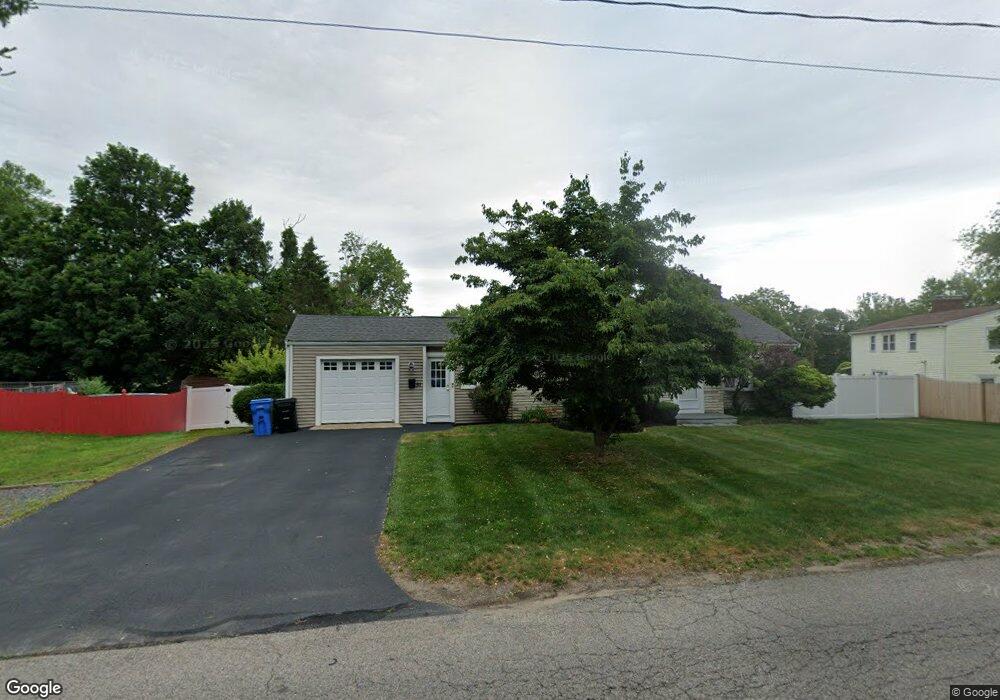
51 Walnut St Whitman, MA 02382
Estimated Value: $588,000 - $680,000
3
Beds
2
Baths
1,901
Sq Ft
$333/Sq Ft
Est. Value
About This Home
This home is located at 51 Walnut St, Whitman, MA 02382 and is currently estimated at $632,500, approximately $332 per square foot. 51 Walnut St is a home located in Plymouth County with nearby schools including St Bridget School.
Ownership History
Date
Name
Owned For
Owner Type
Purchase Details
Closed on
Apr 25, 1994
Sold by
Russo John J and Russo Yvonnne M
Bought by
Dawber Ronald G and Dawber Jennifer L
Current Estimated Value
Home Financials for this Owner
Home Financials are based on the most recent Mortgage that was taken out on this home.
Original Mortgage
$112,500
Interest Rate
7.6%
Mortgage Type
Purchase Money Mortgage
Create a Home Valuation Report for This Property
The Home Valuation Report is an in-depth analysis detailing your home's value as well as a comparison with similar homes in the area
Home Values in the Area
Average Home Value in this Area
Purchase History
| Date | Buyer | Sale Price | Title Company |
|---|---|---|---|
| Dawber Ronald G | $125,000 | -- |
Source: Public Records
Mortgage History
| Date | Status | Borrower | Loan Amount |
|---|---|---|---|
| Open | Dawber Ronald G | $108,000 | |
| Closed | Dawber Ronald G | $112,500 |
Source: Public Records
Tax History
| Year | Tax Paid | Tax Assessment Tax Assessment Total Assessment is a certain percentage of the fair market value that is determined by local assessors to be the total taxable value of land and additions on the property. | Land | Improvement |
|---|---|---|---|---|
| 2025 | $6,602 | $503,181 | $212,400 | $290,781 |
| 2024 | $5,863 | $460,200 | $208,300 | $251,900 |
| 2023 | $5,423 | $399,600 | $180,600 | $219,000 |
| 2022 | $5,336 | $366,500 | $164,200 | $202,300 |
| 2021 | $5,475 | $353,200 | $150,800 | $202,400 |
| 2020 | $5,486 | $346,100 | $143,700 | $202,400 |
| 2019 | $4,971 | $323,200 | $143,700 | $179,500 |
| 2018 | $4,699 | $293,500 | $135,400 | $158,100 |
| 2017 | $4,426 | $293,500 | $135,400 | $158,100 |
| 2016 | $4,301 | $275,900 | $128,300 | $147,600 |
| 2015 | $3,899 | $249,800 | $112,900 | $136,900 |
Source: Public Records
Map
Nearby Homes
- 8 Russell Rd
- 281,285,28 7 Rockland St
- 430 Walnut St
- 20 Russell Rd
- 50 Walnut St
- 165 Richard Rd
- 4 Richard Rd
- 15 Russell Rd
- 416 Walnut St
- 40 Walnut St
- 23 Walnut St
- 153 Richard Rd
- 1121 Washington St
- 43 Bicknell Hill Rd
- 33 Bicknell Hill Rd
- 35 Russell Rd
- 39 Russell Rd
- 21 Bicknell Hill Rd
- 400 Walnut St
- 15 Walnut St
Your Personal Tour Guide
Ask me questions while you tour the home.