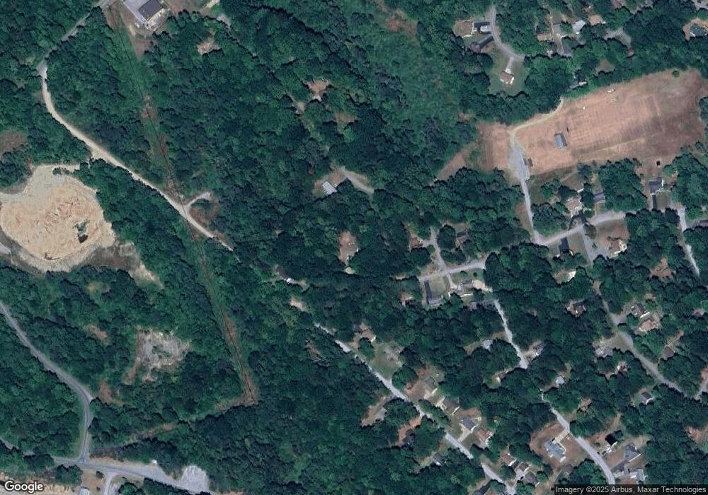
51 Wharf Rd Du Bois, PA 15801
Estimated Value: $222,434 - $272,000
--
Bed
--
Bath
--
Sq Ft
0.26
Acres
About This Home
This home is located at 51 Wharf Rd, Du Bois, PA 15801 and is currently estimated at $247,609. 51 Wharf Rd is a home with nearby schools including DuBois Area Senior High School.
Ownership History
Date
Name
Owned For
Owner Type
Purchase Details
Closed on
Dec 29, 2008
Sold by
Cartus Financial Corporation
Bought by
Striegel Misty M
Current Estimated Value
Home Financials for this Owner
Home Financials are based on the most recent Mortgage that was taken out on this home.
Original Mortgage
$124,325
Outstanding Balance
$80,000
Interest Rate
5.52%
Mortgage Type
FHA
Estimated Equity
$167,609
Purchase Details
Closed on
Dec 26, 2008
Sold by
Braden Jason C and Braden Jeanette M
Bought by
Cartus Financial Corporation
Home Financials for this Owner
Home Financials are based on the most recent Mortgage that was taken out on this home.
Original Mortgage
$124,325
Outstanding Balance
$80,000
Interest Rate
5.52%
Mortgage Type
FHA
Estimated Equity
$167,609
Create a Home Valuation Report for This Property
The Home Valuation Report is an in-depth analysis detailing your home's value as well as a comparison with similar homes in the area
Home Values in the Area
Average Home Value in this Area
Purchase History
| Date | Buyer | Sale Price | Title Company |
|---|---|---|---|
| Striegel Misty M | $125,000 | None Available | |
| Cartus Financial Corporation | $125,000 | None Available |
Source: Public Records
Mortgage History
| Date | Status | Borrower | Loan Amount |
|---|---|---|---|
| Open | Striegel Misty M | $124,325 |
Source: Public Records
Tax History Compared to Growth
Tax History
| Year | Tax Paid | Tax Assessment Tax Assessment Total Assessment is a certain percentage of the fair market value that is determined by local assessors to be the total taxable value of land and additions on the property. | Land | Improvement |
|---|---|---|---|---|
| 2025 | $2,548 | $36,250 | $700 | $35,550 |
| 2024 | $453 | $18,125 | $350 | $17,775 |
| 2023 | $2,339 | $16,875 | $350 | $16,525 |
| 2022 | $2,339 | $16,875 | $350 | $16,525 |
| 2021 | $2,338 | $16,875 | $350 | $16,525 |
| 2020 | $2,329 | $16,875 | $350 | $16,525 |
| 2019 | $2,282 | $16,875 | $350 | $16,525 |
| 2018 | $2,191 | $16,875 | $350 | $16,525 |
| 2017 | $2,250 | $16,875 | $350 | $16,525 |
| 2016 | -- | $16,875 | $350 | $16,525 |
| 2015 | -- | $16,875 | $350 | $16,525 |
| 2014 | -- | $16,875 | $350 | $16,525 |
Source: Public Records
Map
Nearby Homes
- 14 Wharf Rd
- 222 Jolly Roger Rd
- 16 Santo Domingo Ct
- 6 59 Treasure Lake Rd
- 15734 Treasure Lake Rd
- 81 Anchor Rd
- 16364 Treasure Lake Rd
- 375 Clipper Ct
- 92 Admiral Dunbar Rd
- 52 Barbary Coast Ct
- 29 Harbor View Rd
- 28 Harbor View Rd
- 16 328 Port Antonia Ct
- 219 Red Sail Rd
- 0 Treasure Lake Rd Unit 1 96 24-126
- 0 Treasure Lake Rd Unit SEC 5 Lot 68 22-284
- 144 Windward Ct
- 16756 Treasure Lake Rd
- 13399 Treasure Lake Rd
- 13224 Treasure Lake Rd
- 111 Schooner Ct
- 27 Schooner Ct
- 328 Jolly Roger Rd
- 98 Wharf Rd
- 244 Jolly Roger Rd
- 116 Wharf Rd
- 6a Schooner Ct
- 58 Schooner Ct
- 143 Schooner Ct
- 145 Schooner Ct
- 151 Wharf Rd
- 333 Smugglers Rd
- 0 Schooner Ct
- 311 Smugglers Rd
- 186 Jolly Roger Rd
- 180 Schooner Ct
- 197 Jolly Roger Rd
- 285 Smugglers Rd
- 0 Wharf Rd
- 210 Schooner Ct
