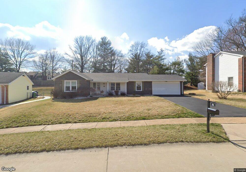
51 White Plains Dr Chesterfield, MO 63017
Estimated Value: $384,773 - $468,000
3
Beds
2
Baths
1,620
Sq Ft
$265/Sq Ft
Est. Value
About This Home
This home is located at 51 White Plains Dr, Chesterfield, MO 63017 and is currently estimated at $428,693, approximately $264 per square foot. 51 White Plains Dr is a home located in St. Louis County with nearby schools including Shenandoah Valley Elementary, Parkway Central Middle School, and Parkway Central High School.
Ownership History
Date
Name
Owned For
Owner Type
Purchase Details
Closed on
Aug 3, 2007
Sold by
Wegman Mary Ann
Bought by
Stevens David W and Stevens Sarah R
Current Estimated Value
Home Financials for this Owner
Home Financials are based on the most recent Mortgage that was taken out on this home.
Original Mortgage
$170,000
Outstanding Balance
$107,306
Interest Rate
6.69%
Mortgage Type
New Conventional
Estimated Equity
$321,387
Create a Home Valuation Report for This Property
The Home Valuation Report is an in-depth analysis detailing your home's value as well as a comparison with similar homes in the area
Home Values in the Area
Average Home Value in this Area
Purchase History
| Date | Buyer | Sale Price | Title Company |
|---|---|---|---|
| Stevens David W | $220,000 | None Available |
Source: Public Records
Mortgage History
| Date | Status | Borrower | Loan Amount |
|---|---|---|---|
| Open | Stevens David W | $170,000 |
Source: Public Records
Tax History
| Year | Tax Paid | Tax Assessment Tax Assessment Total Assessment is a certain percentage of the fair market value that is determined by local assessors to be the total taxable value of land and additions on the property. | Land | Improvement |
|---|---|---|---|---|
| 2025 | $3,927 | $79,130 | $47,650 | $31,480 |
| 2024 | $3,927 | $59,260 | $24,810 | $34,450 |
| 2023 | $3,927 | $59,260 | $24,810 | $34,450 |
| 2022 | $3,665 | $52,470 | $24,810 | $27,660 |
| 2021 | $3,651 | $52,470 | $24,810 | $27,660 |
| 2020 | $3,558 | $49,100 | $22,840 | $26,260 |
| 2019 | $3,480 | $49,100 | $22,840 | $26,260 |
| 2018 | $3,741 | $48,980 | $22,840 | $26,140 |
| 2017 | $3,639 | $48,980 | $22,840 | $26,140 |
| 2016 | $2,994 | $38,230 | $15,960 | $22,270 |
| 2015 | $3,138 | $38,230 | $15,960 | $22,270 |
| 2014 | $2,812 | $36,600 | $8,800 | $27,800 |
Source: Public Records
Map
Nearby Homes
- 6 Pittsfield Ct
- 39 White Plains Dr
- 931 Wellesley Place Dr
- 810 Wellesley Place Dr
- 818 Brae Ct Unit 30
- 857 Braefield Ct
- 904 Chesterfield Villas Cir
- 865 Forest Trace Dr Unit C
- 6 Upper Conway Ln
- 15317 Oaktree Estates Dr
- 1102 Nooning Tree Dr
- 1237 Cedar Creek Rd
- 330 Calliope Place
- 27 Bonhomme Grove Ct
- 15000 S Outer 40 Rd
- 15142 Highcroft Dr
- 1203 Beaver Creek Rd
- 1511 Hampton Hall Dr Unit 19 & 20
- 1511 Hampton Hall Dr Unit 14
- 1797 Prindable Ct
- 53 White Plains Dr
- 49 White Plains Dr
- 3 Pittsfield Ct
- 42 White Plains Dr
- 44 White Plains Dr
- 45 White Plains Dr
- 2 Pittsfield Ct
- 40 White Plains Dr
- 46 White Plains Dr
- 4 Pittsfield Ct
- 43 White Plains Dr
- 19 Foxhunt Dr
- 7 Pittsfield Ct
- 57 White Plains Dr
- 48 White Plains Dr
- 915 Peach Hill Ln
- 16 Foxhunt Dr
- 17 Foxhunt Dr
- 41 White Plains Dr
- 5 Youngstown Ct
Your Personal Tour Guide
Ask me questions while you tour the home.