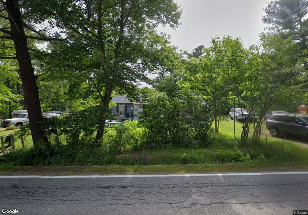
51 Wilson Rd Kittery, ME 03904
Estimated Value: $432,000 - $511,141
3
Beds
2
Baths
1,056
Sq Ft
$450/Sq Ft
Est. Value
About This Home
This home is located at 51 Wilson Rd, Kittery, ME 03904 and is currently estimated at $475,535, approximately $450 per square foot. 51 Wilson Rd is a home with nearby schools including Shapleigh School, Horace Mitchell Primary School, and Robert W Traip Academy.
Ownership History
Date
Name
Owned For
Owner Type
Purchase Details
Closed on
Mar 7, 2022
Sold by
Allen Ronald H and Allen Rhonda M
Bought by
Allen Rhonda M and Bilodeau Thomas R
Current Estimated Value
Home Financials for this Owner
Home Financials are based on the most recent Mortgage that was taken out on this home.
Original Mortgage
$162,400
Outstanding Balance
$150,640
Interest Rate
3.92%
Mortgage Type
Purchase Money Mortgage
Estimated Equity
$324,895
Purchase Details
Closed on
Jun 28, 2010
Sold by
Allen Ronald H and Allen Ronald H
Bought by
Graves Rhonda M and Allen Lawrence H
Create a Home Valuation Report for This Property
The Home Valuation Report is an in-depth analysis detailing your home's value as well as a comparison with similar homes in the area
Home Values in the Area
Average Home Value in this Area
Purchase History
| Date | Buyer | Sale Price | Title Company |
|---|---|---|---|
| Allen Rhonda M | $120,500 | None Available | |
| Allen Rhonda M | $120,500 | None Available | |
| Graves Rhonda M | -- | -- | |
| Graves Rhonda M | -- | -- |
Source: Public Records
Mortgage History
| Date | Status | Borrower | Loan Amount |
|---|---|---|---|
| Open | Allen Rhonda M | $162,400 | |
| Closed | Allen Rhonda M | $162,400 |
Source: Public Records
Tax History
| Year | Tax Paid | Tax Assessment Tax Assessment Total Assessment is a certain percentage of the fair market value that is determined by local assessors to be the total taxable value of land and additions on the property. | Land | Improvement |
|---|---|---|---|---|
| 2024 | $3,718 | $261,800 | $101,700 | $160,100 |
| 2023 | $3,563 | $261,800 | $101,700 | $160,100 |
| 2022 | $3,529 | $261,800 | $101,700 | $160,100 |
| 2021 | $3,403 | $261,800 | $101,700 | $160,100 |
| 2020 | $3,377 | $261,800 | $101,700 | $160,100 |
| 2019 | $3,188 | $183,200 | $65,700 | $117,500 |
| 2018 | $3,078 | $183,200 | $65,700 | $117,500 |
| 2017 | $3,023 | $183,200 | $65,700 | $117,500 |
| 2016 | $2,916 | $181,700 | $65,700 | $116,000 |
| 2015 | $2,821 | $180,000 | $65,700 | $114,300 |
| 2014 | $2,794 | $180,000 | $65,700 | $114,300 |
| 2013 | $2,740 | $180,000 | $65,700 | $114,300 |
Source: Public Records
Map
Nearby Homes
- 19 Seward Farm Ln
- 19 Aspen Cir
- 62 Village Dr Unit 62
- 100 Shepard's Cove Rd Unit F204
- 100 Shepard's Cove Rd Unit G107
- 100 Shepards Cove Rd Unit F204
- 22 Summer Ln
- 10 Lewis Rd
- 30 Drake Ln
- 8 Caslyn Dr
- 8 Spruce Point Rd
- 49 Sandalwood Cir
- 59 Sandalwood Cir
- 20 Colony Way
- 14 Colony Way
- 5 Spinney Way Unit 9
- 50 Lewis Rd
- 1128 State Rd
- 161 Bolt Hill Rd
- 30-3 Regency Cir Unit 3
Your Personal Tour Guide
Ask me questions while you tour the home.