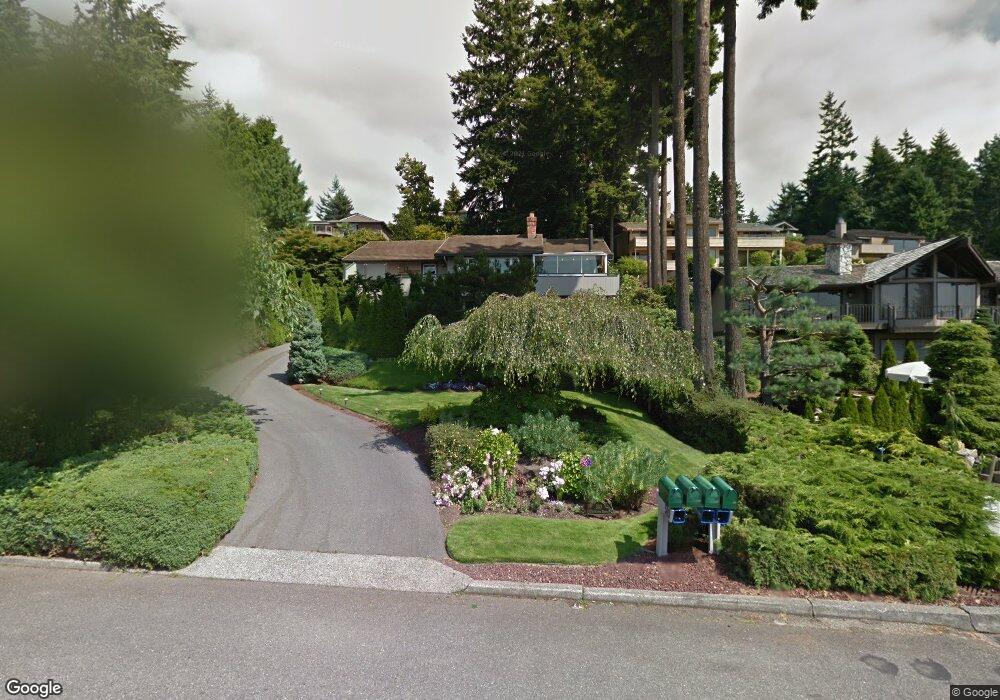
510 12th Ave N Edmonds, WA 98020
Edmonds Bowl NeighborhoodEstimated Value: $1,455,780 - $1,687,000
3
Beds
3
Baths
1,470
Sq Ft
$1,097/Sq Ft
Est. Value
About This Home
This home is located at 510 12th Ave N, Edmonds, WA 98020 and is currently estimated at $1,612,195, approximately $1,096 per square foot. 510 12th Ave N is a home located in Snohomish County with nearby schools including Edmonds Elementary School, Meadowdale Middle School, and Meadowdale High School.
Ownership History
Date
Name
Owned For
Owner Type
Purchase Details
Closed on
Jun 12, 1998
Sold by
Crotteau William M
Bought by
Mackinnon Malcolm I and Mackinnon Edna
Current Estimated Value
Home Financials for this Owner
Home Financials are based on the most recent Mortgage that was taken out on this home.
Original Mortgage
$140,000
Interest Rate
6.78%
Create a Home Valuation Report for This Property
The Home Valuation Report is an in-depth analysis detailing your home's value as well as a comparison with similar homes in the area
Home Values in the Area
Average Home Value in this Area
Purchase History
| Date | Buyer | Sale Price | Title Company |
|---|---|---|---|
| Mackinnon Malcolm I | $392,500 | Pacific Northwest Title |
Source: Public Records
Mortgage History
| Date | Status | Borrower | Loan Amount |
|---|---|---|---|
| Closed | Mackinnon Malcolm I | $140,000 |
Source: Public Records
Tax History Compared to Growth
Tax History
| Year | Tax Paid | Tax Assessment Tax Assessment Total Assessment is a certain percentage of the fair market value that is determined by local assessors to be the total taxable value of land and additions on the property. | Land | Improvement |
|---|---|---|---|---|
| 2025 | $9,392 | $1,293,300 | $935,600 | $357,700 |
| 2024 | $9,392 | $1,318,700 | $964,300 | $354,400 |
| 2023 | $10,336 | $1,503,900 | $1,092,000 | $411,900 |
| 2022 | $10,089 | $1,207,100 | $856,800 | $350,300 |
| 2020 | $9,692 | $1,037,000 | $730,000 | $307,000 |
| 2019 | $9,370 | $1,009,900 | $708,800 | $301,100 |
| 2018 | $9,367 | $872,400 | $600,600 | $271,800 |
| 2017 | $8,136 | $792,800 | $540,800 | $252,000 |
| 2016 | $7,926 | $765,200 | $519,200 | $246,000 |
| 2015 | $8,232 | $748,300 | $495,000 | $253,300 |
| 2013 | $7,177 | $615,300 | $403,700 | $211,600 |
Source: Public Records
Map
Nearby Homes
- 8804 209th Place SW
- 8732 209th Place SW
- 9533 Bowdoin Way
- 1021 Walnut St
- 8427 200th St SW
- 1018 Walnut St
- 21232 92nd Place W
- 8500 Main St Unit F-209
- 8500 Main St Unit F205
- 1030 Grandview St
- 8516 196th St SW Unit 105
- 8516 196th St SW Unit 302
- 8516 196th St SW Unit 311
- 1414 9th Ave N Unit 105
- 609 7th Ave N Unit B204
- 603 7th Ave N Unit A306
- 19523 86th Ave W Unit 523
- 20126 81st Ave W
- 816 Walnut St
- 228 xx 84th Ave W
- 520 12th Ave N
- 446 12th Ave N
- 1232 Highland Dr
- 540 12th Ave N
- 541 12th Ave N
- 428 12th Ave N
- 9216 Sierra St
- 521 12th Ave N
- 9221 Sierra St
- 1230 Highland Dr
- 420 12th Ave N
- 431 12th Ave N
- 20414 92nd Ave W
- 561 12th Ave N
- 580 12th Ave N
- 1223 Highland Dr
- 20322 92nd Ave W
- 9215 Sierra St
- 9210 Sierra St
- 20416 92nd Ave W