510 17th St W Tifton, GA 31794
Estimated Value: $63,000
--
Bed
--
Bath
914
Sq Ft
$69/Sq Ft
Est. Value
About This Home
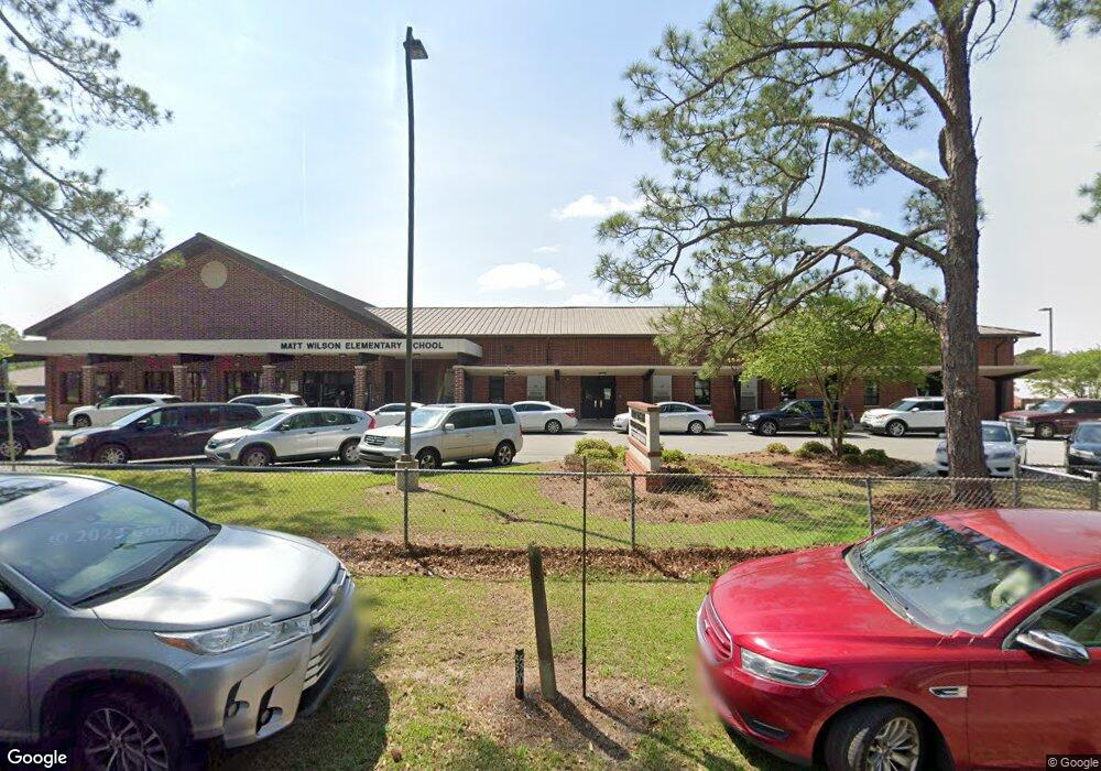
This home is located at 510 17th St W, Tifton, GA 31794 and is currently estimated at $63,000, approximately $68 per square foot. 510 17th St W is a home with nearby schools including Matt Wilson Elementary School, J.T. Reddick School, and Annie Belle Clark Primary School.
Ownership History
Date
Name
Owned For
Owner Type
Purchase Details
Closed on
Aug 30, 2013
Sold by
Wilson Wylean
Bought by
Tift County Board Of Education
Current Estimated Value
Purchase Details
Closed on
Jan 29, 1954
Sold by
Wilson Mat
Bought by
Tift Co Bd Of Education
Purchase Details
Closed on
Dec 22, 1953
Sold by
Wilson Mat
Bought by
Tift Co Bd Of Education
Create a Home Valuation Report for This Property
The Home Valuation Report is an in-depth analysis detailing your home's value as well as a comparison with similar homes in the area
Home Values in the Area
Average Home Value in this Area
Purchase History
| Date | Buyer | Sale Price | Title Company |
|---|---|---|---|
| Tift County Board Of Education | $13,666 | -- | |
| Tift Co Bd Of Education | $3,300 | -- | |
| Tift Co Bd Of Education | $200 | -- |
Source: Public Records
Tax History Compared to Growth
Tax History
| Year | Tax Paid | Tax Assessment Tax Assessment Total Assessment is a certain percentage of the fair market value that is determined by local assessors to be the total taxable value of land and additions on the property. | Land | Improvement |
|---|---|---|---|---|
| 2024 | -- | $1,373,084 | $21,538 | $1,351,546 |
| 2023 | $58,694 | $1,559,605 | $192,342 | $1,367,263 |
| 2022 | $58,694 | $1,559,605 | $192,342 | $1,367,263 |
| 2021 | $59,075 | $1,559,605 | $192,342 | $1,367,263 |
| 2020 | $62,238 | $1,559,605 | $192,342 | $1,367,263 |
| 2019 | $62,238 | $1,559,605 | $192,342 | $1,367,263 |
| 2018 | $47,488 | $1,559,605 | $192,342 | $1,367,263 |
| 2017 | $47,488 | $1,559,605 | $192,342 | $1,367,263 |
| 2016 | $47,488 | $1,559,605 | $192,342 | $1,367,263 |
| 2015 | -- | $1,559,605 | $192,342 | $1,367,263 |
| 2014 | -- | $1,559,605 | $192,342 | $1,367,263 |
| 2013 | -- | $1,550,158 | $187,452 | $1,362,705 |
Source: Public Records
Map
Nearby Homes
- 603 21st St W
- 1910 Park Ave S
- 614/620 Old Omega Rd
- 1911 Park Ave S
- 311 11th St
- 2729 Central Ave S
- 2906 S Park Ave
- 111 Virginia Ave
- 100 Palmetta Rd
- 0 U S Highway 82
- 0 S Us Hwy 319 S Unit 137566
- 64 Palmetta Rd
- 604 Golden Rd W
- 0 Georgia 125
- 378 Ellen's Walk
- 372 Ellen's Walk
- N/A Wanda Way
- 14084 Hwy 125n
- 2901 3rd Ave
- 401 Park Ave N
- 608 19th St W
- 502 17th St W
- 610 19th St W
- 404 Old Omega Rd
- 1710 Ridge Ave S
- 416 Old Omega Rd
- 1712 Ridge Ave S
- 420 Old Omega Rd
- 619 19th St W
- 1704 Ridge Ave S
- 707 17th 1/2 St
- 506 19th St W
- 507 17th St W
- 616 19th St W
- 708 17th 1/2 St
- 1706 Dorminey St
- 402 Old Omega Rd
- 508 19th St W
- 330 Old Omega Rd
- 621 19th St W