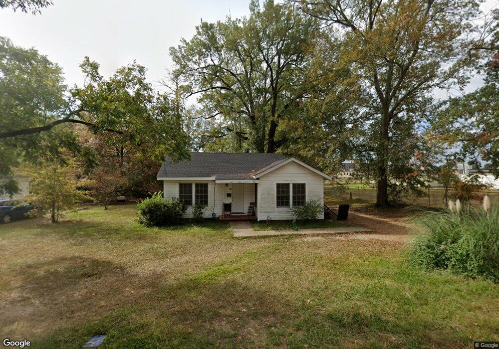
510 2nd Ave Ruston, LA 71270
Estimated Value: $64,000 - $96,000
2
Beds
1
Bath
1,100
Sq Ft
$76/Sq Ft
Est. Value
About This Home
This home is located at 510 2nd Ave, Ruston, LA 71270 and is currently estimated at $83,903, approximately $76 per square foot. 510 2nd Ave is a home located in Lincoln Parish with nearby schools including Cypress Springs Elementary School, Glen View Elementary School, and Ruston Junior High School.
Ownership History
Date
Name
Owned For
Owner Type
Purchase Details
Closed on
Aug 2, 2019
Sold by
2030 Properties Llc
Bought by
Blue Ocean Properties Llc
Current Estimated Value
Home Financials for this Owner
Home Financials are based on the most recent Mortgage that was taken out on this home.
Original Mortgage
$86,118
Outstanding Balance
$74,649
Interest Rate
3.73%
Mortgage Type
New Conventional
Estimated Equity
$9,254
Purchase Details
Closed on
Jan 10, 2019
Sold by
Owens Otha M and Premo-Owens Jennifer A
Bought by
Smith Holdings & Enterprise
Purchase Details
Closed on
Jul 3, 2016
Sold by
Brown Owens Lucille
Bought by
Owens O Michael and Premo Owens Jennifer Anne
Create a Home Valuation Report for This Property
The Home Valuation Report is an in-depth analysis detailing your home's value as well as a comparison with similar homes in the area
Purchase History
| Date | Buyer | Sale Price | Title Company |
|---|---|---|---|
| Blue Ocean Properties Llc | $103,000 | -- | |
| Smith Holdings & Enterprise | $48,000 | -- | |
| Owens O Michael | -- | None Available |
Source: Public Records
Mortgage History
| Date | Status | Borrower | Loan Amount |
|---|---|---|---|
| Open | Blue Ocean Properties Llc | $86,118 |
Source: Public Records
Tax History
| Year | Tax Paid | Tax Assessment Tax Assessment Total Assessment is a certain percentage of the fair market value that is determined by local assessors to be the total taxable value of land and additions on the property. | Land | Improvement |
|---|---|---|---|---|
| 2025 | $545 | $6,385 | $1,020 | $5,365 |
| 2024 | $545 | $6,386 | $1,020 | $5,366 |
| 2023 | $458 | $5,150 | $298 | $4,852 |
| 2022 | $690 | $7,721 | $300 | $7,421 |
| 2021 | $638 | $7,721 | $300 | $7,421 |
| 2020 | $571 | $6,872 | $300 | $6,572 |
| 2019 | $558 | $6,872 | $300 | $6,572 |
| 2018 | $355 | $4,497 | $330 | $4,167 |
| 2017 | $356 | $4,497 | $330 | $4,167 |
| 2016 | $355 | $0 | $0 | $0 |
| 2015 | $228 | $2,660 | $300 | $2,360 |
| 2013 | $232 | $2,660 | $300 | $2,360 |
Source: Public Records
Map
Nearby Homes
- 509 2nd Ave
- 911 S Farmerville St
- 102 Calvin Ave Unit 707 S Farmerville St
- 716 Jody Ct
- 900 Cornell Ave
- 000 S Vienna St
- 203 E California Ave
- 615 S Vienna St Unit 615 1/2 S. Vienna St
- 500 S Bonner St
- 215 E Arizona Ave
- 901 Jones St
- 000 Eastland Ave
- 108 S Farmerville St
- 1304 Lewis St
- 134 Clearwater Cir
- 122 Alder Place
- 5616 U S Highway 167
- 10540 U S Highway 167
- 3100 Sequoia Ave
- 3216 Sequoia Ave
- 510 2nd Ave
- 512 2nd Ave
- 512 2nd Ave
- 509 2nd Ave
- 514 2nd Ave
- 514 2nd Ave
- 511 2nd Ave
- 513 2nd Ave
- 513 2nd Ave
- 1000 S Farmerville St
- 1002 S Farmerville St
- 1100 S Farmerville St
- 910 S Farmerville St
- 500 Martin l King Dr
- 906 S Farmerville St
- 906 S Farmerville St Unit 908 S Farmerville St
- 502 Martin l King Dr
- 508 Martin l King Dr
- 410 2nd Ave
- 902 S Farmerville St
Your Personal Tour Guide
Ask me questions while you tour the home.